
1946 Map of Garns Mtn
USGS Topo · Published 1946About this map
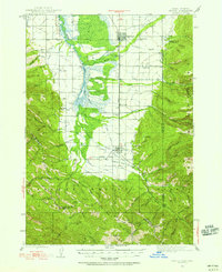
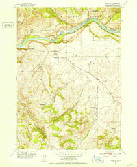
Targhee National Forest dominates the high-altitude landscape of this 1943 survey, where the peaks of Garns Mtn and Piney Pk overlook a complex network of mountain drainages. The eastern portion of the map is defined by industrial extraction in the Teton Valley, where the Mikesell Mine, Pintar Mine, and Brown Bear Mine are clustered near Horseshoe Creek. To the west, the Snake River carves through the terrain, flanked by notable riverside features like Lufkin Bottom and Cistern. Evidence of local ranching and rural education persists in the canyons, including the Durant Ranch and Upper Pine Creek Sch, illustrating the sparse but vital human presence in this high-country environment before modern development. The map also delineates clear county boundaries between Madison and Teton and Teton and Bonneville counties.
Find a feature on this map
101 named features on this map. Tap any name to fly to it.
Don’t see what you’re looking for? This feature index may not catch every label — zoom into the map to look around manually.
Map Details
Editions of this 1946 Garns Mtn Map
This is the sole edition of this map. No revisions or reprints were ever made.
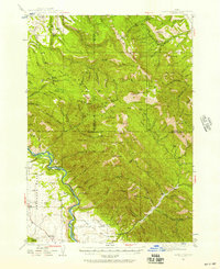
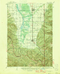
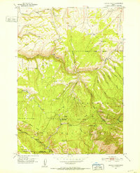
Other maps of this area

1924 · Hell Creek
USGS Topo · 1:62,500

1926 · Hell Creek
USGS Topo · 1:62,500

1932 · Irwin
USGS Topo · 1:96,000

1935 · Irwin
USGS Topo · 1:125,000
1943 · Driggs
USGS Topo · 1:62,500
1943 · Garns Mtn
USGS Topo · 1:62,500
1946 · Driggs
USGS Topo · 1:62,500
1951 · Hawley Gulch
USGS Topo · 1:24,000
1951 · Heise SE
USGS Topo · 1:24,000
1951 · White Owl Butte
USGS Topo · 1:24,000