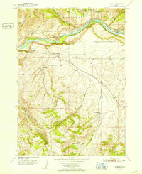
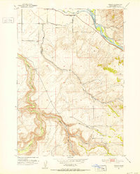
1951 Map of Heise SE
USGS Topo · Published 1952About this map
Snake River frontage and the high livestock country of eastern Idaho define this early 1950s survey. The landscape is characterized by a series of family-held ranching operations, including the Spaulding Ranch, Clark Ranch, and Wheeler Ranch, which are distributed along the drainages of Antelope Creek and Little Pine Creek. A significant marker of the area's changing social geography is the Antelope Sch (Aban'd), noted as abandoned even at the time of this 1951 mapping.
Find a feature on this map
24 named features on this map. Tap any name to fly to it.
Don’t see what you’re looking for? This feature index may not catch every label — zoom into the map to look around manually.
Map Details
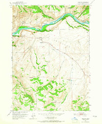
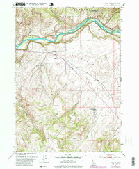
Editions of this 1951 Heise SE Map
4 editions found

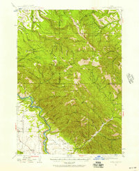
Other maps of this area

1924 · Hell Creek
USGS Topo · 1:62,500

1926 · Hell Creek
USGS Topo · 1:62,500

1932 · Irwin
USGS Topo · 1:96,000

1935 · Irwin
USGS Topo · 1:125,000
1943 · Garns Mtn
USGS Topo · 1:62,500

1946 · Garns Mtn
USGS Topo · 1:62,500
1951 · Poplar
USGS Topo · 1:24,000
1951 · Hawley Gulch
USGS Topo · 1:24,000
1951 · Heise
USGS Topo · 1:24,000

1955 · Driggs
USGS Topo · 1:250,000