
1951 Map of Heise
USGS Topo · Published 1952About this map
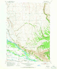
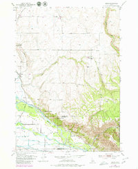
Snake River hydrology dominates this 1951 landscape at the triple junction of Madison, Jefferson, and Bonneville counties. The river valley is a complex network of irrigation and water management, featuring Butler Island and a dense system of man-made waterways including the Sunnydell Canal, Enterprise Canal, and Eagle Rock Canal. These diversions support small agricultural outposts such as Jenson, Byrne, and Herbert, while the Union Pacific railroad corridor skirts the western edge of the valley floor.
Find a feature on this map
30 named features on this map. Tap any name to fly to it.
Don’t see what you’re looking for? This feature index may not catch every label — zoom into the map to look around manually.
Map Details
Editions of this 1951 Heise Map
3 editions found
Other maps of this area

1949 · Rexburg
USGS Topo · 1:24,000

1950 · Ririe
USGS Topo · 1:24,000

1950 · Rexburg
USGS Topo · 1:24,000

1950 · Rigby
USGS Topo · 1:62,500

1950 · Rigby SE
USGS Topo · 1:24,000

1951 · Rigby SE
USGS Topo · 1:24,000

1951 · Moody
USGS Topo · 1:24,000

1951 · Poplar
USGS Topo · 1:24,000

1951 · Hawley Gulch
USGS Topo · 1:24,000

1951 · Heise SE
USGS Topo · 1:24,000