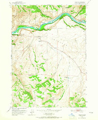
1951 Map of Heise SE
USGS Topo · Published 1965About this map
The Snake River carves a sharp, north-curving path through the Targhee National Forest in this 1951 survey, defining a landscape where river hydraulics and plateau ranching intersect. Along the river’s northern banks, prominent landmarks like Kelly Mountain and Rattlesnake Point overlook gravel bars and flats, including Wolf Flat and Goe Flat.
Find a feature on this map
26 named features on this map. Tap any name to fly to it.
Don’t see what you’re looking for? This feature index may not catch every label — zoom into the map to look around manually.
Map Details
Editions of this 1951 Heise SE Map
4 editions found
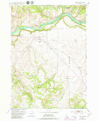
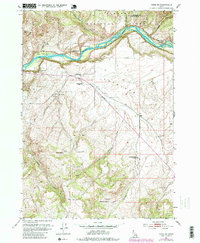
Other maps of this area

1924 · Hell Creek
USGS Topo · 1:62,500

1926 · Hell Creek
USGS Topo · 1:62,500

1932 · Irwin
USGS Topo · 1:96,000

1935 · Irwin
USGS Topo · 1:125,000

1943 · Garns Mtn
USGS Topo · 1:62,500

1946 · Garns Mtn
USGS Topo · 1:62,500

1951 · Poplar
USGS Topo · 1:24,000

1951 · Hawley Gulch
USGS Topo · 1:24,000

1951 · Heise
USGS Topo · 1:24,000

1951 · Heise SE
USGS Topo · 1:24,000