Old Maps of Parma, Idaho for Academic Research
Study the evolution of Parma with 11 high-resolution historic maps. Whether you're teaching, researching, or modeling changes in land use, these maps provide essential visual documentation of urban, environmental, and geographic change.
- Analyze long-term change: Track patterns in development, transportation, and natural features.
- Ideal for environmental or urban studies: Support academic projects with primary historical map data.
- Use in the classroom or lab: Educators and researchers rely on these maps to bring historical context to life.
These maps are a powerful tool for teaching, research, and visualizing how Parma has changed over the decades.
Parma, ID maps
(11)- 1898 Map of Nampa
 1898 Nampa1898 Print · USGSThe Treasure Valley's transformation is visible in the 1890s as railroads and massive irrigation projects began to reshape the high desert. Researchers can trace the development of early rail lines like the Boise Nampa & Owyhee R. R. and early canals such as the Riverside Canal and Newman Canal.4 unique versions available
 - 1955 Map of Boise, 1977 Print
 1955 Boise1977 Print · USGSThe Treasure Valley and Owyhee uplands are shown in detail during the mid-fifties, capturing the region's transition into a major agricultural and urban hub. Researchers can trace the Union Pacific line through Nampa, explore the volcanic Jordan Craters, or locate the historic mining district of Silver City.
 - 1958 Map of Boise
 1958 Boise1958 Print · USGSThe Treasure Valley and Snake River Plain come alive in the mid-fifties as the rail-and-river economy transitions into a modern agricultural hub. Trace the Union Pacific lines through Nampa or locate remote landmarks like Initial Point and the Rockville settlement.2 unique versions available
 - 1962 Map of Boise
 1962 Boise1962 Print · USGSThe Treasure Valley at the start of the sixties reveals a landscape of expanding towns and complex irrigation networks along the Snake River. Genealogists and historians can trace the foundations of modern Idaho through markers like Initial Point, the mining history of Silver City, and the early infrastructure of Lucky Peak Dam.
 - 1965 Map of Parma, 1967 Print
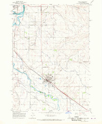 1965 Parma1967 Print · USGSWestern Idaho's river junctions and rail corridors come into focus in the mid-sixties as the irrigation network supports the growing valley. Researchers can trace family roots at Parma Cem, locate the Apple Valley Sch, or explore the grounds of the University of Idaho Agriculture Experiment Sta.2 unique versions available
 - 1981 Map of Boise
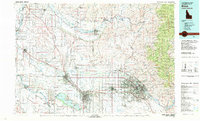 1981 Boise1981 Print · USGSThe Boise River valley and Treasure Plain are captured here in the early eighties as urban expansion began to link the regional hubs of the Snake River plain. Researchers can trace the development of Nampa, Caldwell, and Meridian or locate landmarks like Lake Lowell and Eagle Island State Park.2 unique versions available
 - 2011 Map of Parma, 2011 Print
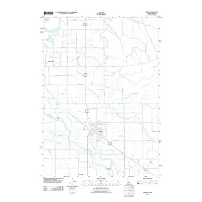 2011 Parma2011 Print · USGSThe confluence of the Boise and Snake Rivers comes alive in this survey of the Idaho-Oregon border region. Trace family roots and local history through the Parma Cemetery, the community of Apple Valley, and the complex irrigation systems of the Parma Canal.
 - 2013 Map of Parma, 2013 Print
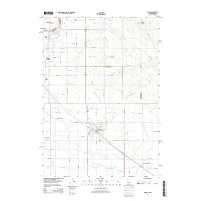 2013 Parma2013 Print · USGSThe Idaho-Oregon borderlands are revealed in this 2013 survey of the Snake and Boise River confluence. Genealogists and local historians can trace family roots at Parma Cem or Boise Cem, and study the irrigation legacy of the Farmers Cooperative Sebree Canal.
 - 2017 Map of Parma, 2017 Print
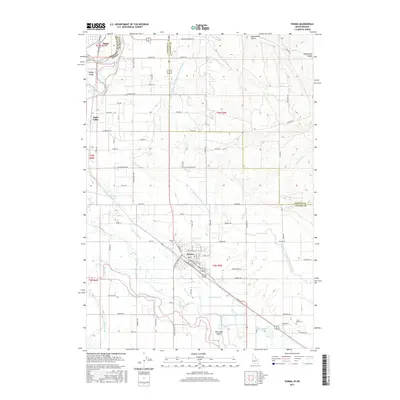 2017 Parma2017 Print · USGSThe fertile confluence of the Boise and Snake rivers comes into sharp focus during this recent era of Idaho-Oregon border history. Genealogists and local historians can pinpoint the Parma Cem, trace the Farmers Cooperative Sebree Canal, and locate the old community of Apple Valley.
 - 2020 Map of Parma, 2020 Print
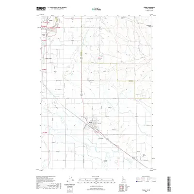 2020 Parma2020 Print · USGSThe Oregon-Idaho border comes alive in this contemporary survey of the fertile Snake and Boise River valleys. Genealogists and researchers can locate family sites near Parma Cem, Lower Boise Cem, and the rural crossroads of Apple Valley.
 - 2023 Map of Parma, 2023 Print
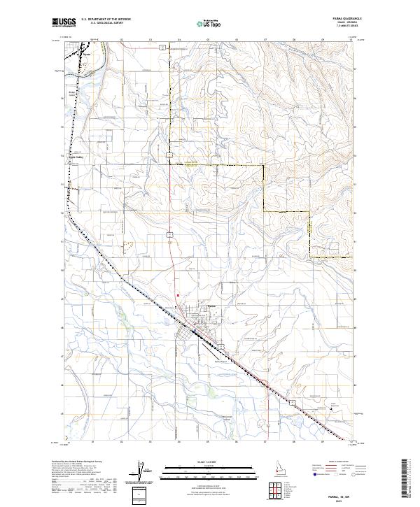 2023 Parma2023 Print · USGSThe Idaho-Oregon borderlands at Parma are revealed in this detailed survey of the Snake and Boise River junction. Researchers can trace irrigation history through the Farmers Cooperative Sebree Canal or locate family roots at Parma Cem and Lower Boise Cem.
End of results
Showing maps 1-11 of 11
Top cities near Parma
- Ontario historical maps
- Fruitland historical maps
- Nyssa historical maps
- Homedale historical maps
- Wilder historical maps
- New Plymouth historical maps
See more
Frequently asked questions
- What are the different types of historical maps available for Parma?
- What is the oldest map of Parma?
- Where can I purchase historical maps of Parma for my home or office?
- Where can I download high-res historical maps of Parma?
- Are there historical topographic maps available for Parma?
- Is there historical aerial imagery available for Parma?
- Where are historical maps of Parma sourced from?