Old Maps of Grace, Idaho for Genealogy
Trace your family roots with 13 historic maps of Grace. These high-res maps reveal old neighborhoods, homesites, landmarks, and streets — helping you uncover where your ancestors lived and how the area evolved over time.
- Explore historic neighborhoods: Identify where your relatives may have lived in the 1800s or 1900s.
- Compare maps over time: Trace the changes in streets, buildings, and landmarks for multi-generational research.
- Perfect for genealogy & ancestry research: Used by family historians and researchers to map out lineage and migration.
These maps are an incredible resource for exploring your personal connection to Grace's past.
Grace, ID maps
(13)- 1948 Map of Soda Springs, 1965 Print
 1948 Soda Springs1965 Print · USGSSoda Springs and the surrounding Bear River valley are captured in the late 1940s, showing a landscape shaped by the historic Oregon Trail and modern industry. Genealogists and historians can locate the Grace Cem, Eightmile Sch, and the workings of the Conda Mine and Idaho Sulphur Mine (Aband).2 unique versions available
 - 1949 Map of Soda Springs
 1949 Soda Springs1949 Print · USGSSoda Springs and the surrounding Bear River valley are captured in the late 1940s, a landscape defined by volcanic geology and phosphate mining. Researchers can locate specific pioneer-era sites like the Wagonbox Grave, Eightmile School, and the Conda Mine.4 unique versions available
 - 1955 Map of Preston, 1968 Print
 1955 Preston1968 Print · USGSSoutheast Idaho and western Wyoming are shown in detail during the mid-fifties, from the high Bear River Range to the Green River Basin. Genealogists and collectors can trace the Union Pacific RR through historic towns like Preston, Montpelier, and Afton.3 unique versions available
 - 1958 Map of Preston
 1958 Preston1958 Print · USGSThe high valleys of the Idaho and Wyoming borderlands are captured here in the late fifties, showcasing a landscape of mountain ranching and phosphate mining. Genealogists and historians can locate early settlements like Chesterfield and Bedford or trace the Union Pacific rail lines serving Cokeville.2 unique versions available
 - 1962 Map of Preston
 1962 Preston1962 Print · USGSSoutheast Idaho and the Wyoming borderlands are captured here in the early sixties, a time of thriving agricultural valleys and mountain ranching. Researchers can trace the Union Pacific rail lines and find legacy settlements like Montpelier, Afton, and Preston.
 - 1982 Map of Soda Springs
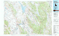 1982 Soda Springs1982 Print · USGSSoutheast Idaho and the Wyoming borderlands come alive in the early eighties as a landscape of mountain ranges and industrial valleys. Genealogists and historians can locate remote family plots like Lund Cem or trace the early paths through Fivemile Meadows and the Fort Hall Indian Reservation.2 unique versions available
 - 1982 Map of Grace
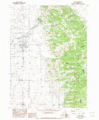 1982 Grace1982 Print · USGSGem Valley thrived in the early eighties as a hub of irrigation and agriculture along the Bear River. Genealogists and local historians can locate families near Grace, trace the Grace Cemetery, and find smaller landmarks like Niter and the High Sch.
 - 2005 Map of Grace, 2007 Print
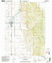 2005 Grace2007 Print · USGSGem Valley at the start of the twenty-first century reveals a landscape defined by Bear River irrigation and mountain foothills. Trace family roots at Grace Cemetery or locate landmarks like the Ice Cave, Grace Dam, and Niter.
 - 2011 Map of Grace, 2011 Print
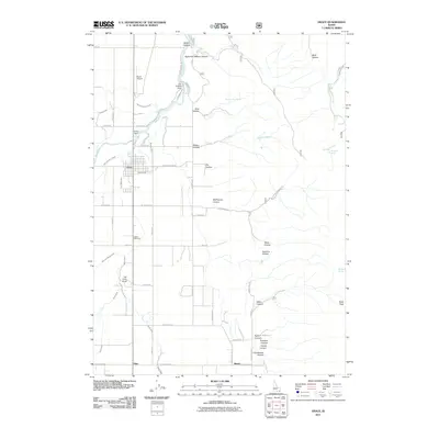 2011 Grace2011 Print · USGSThe Bear River valley in Caribou County is shown here in the early 21st century as a complex landscape of dams and irrigation canals. Researchers can trace local water works like the Last Chance Dam, find family history at Grace Cemetery, or locate rural landmarks like Ice Cave Knoll.
 - 2013 Map of Grace, 2013 Print
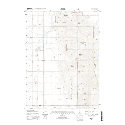 2013 Grace2013 Print · USGSCaribou County agriculture and the high-desert irrigation of the Gem Valley are captured here in the early 21st century. Genealogists and local historians can trace the rural landscape around Grace, identifying family-named landmarks like Simpson Airport and the historic Grace Cem.
 - 2017 Map of Grace, 2017 Print
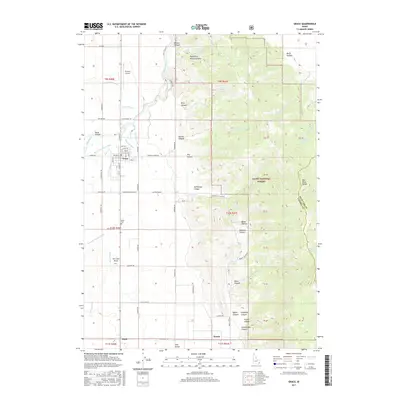 2017 Grace2017 Print · USGSGrace and the surrounding Gem Valley are seen here in the late twenty-tens, defined by a complex irrigation network and high-country canyons. Researchers can trace local landmarks like Ice Cave Knoll, the Grace Cemetery, and the old rail-and-water corridors of the Bench Canal.
 - 2020 Map of Grace, 2020 Print
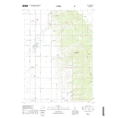 2020 Grace2020 Print · USGSGrace stands at the heart of this contemporary topographic study of the Bear River Range. Researchers and local historians can trace the current street grid of Grace and the surrounding irrigation patterns that continue to shape the valley floor.
 - 2023 Map of Grace, 2023 Print
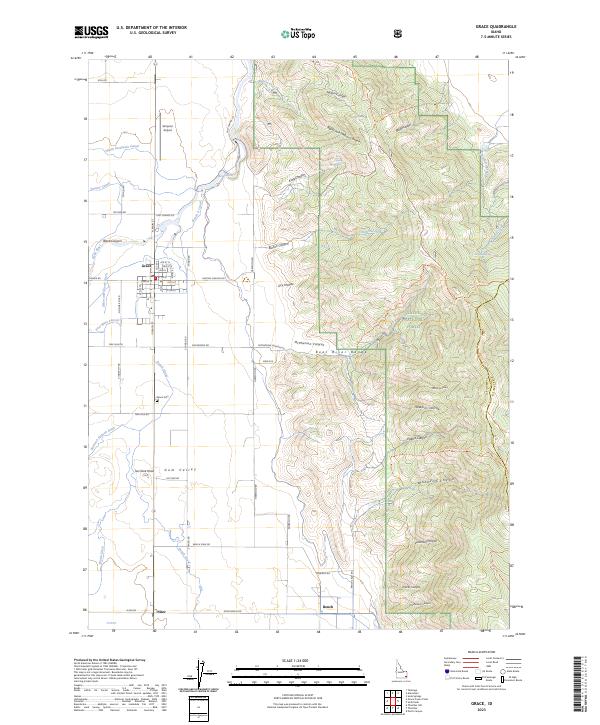 2023 Grace2023 Print · USGSGem Valley and the foothills of the Bear River Range are documented here in the early twenty-first century as agricultural traditions and water rights shape the land. Researchers can trace the layout of Grace, locate family plots at Grace Cem, or follow the path of the Bear River through Black Canyon.
End of results
Showing maps 1-13 of 13
Top cities near Grace
Frequently asked questions
- What are the different types of historical maps available for Grace?
- What is the oldest map of Grace?
- Where can I purchase historical maps of Grace for my home or office?
- Where can I download high-res historical maps of Grace?
- Are there historical topographic maps available for Grace?
- Is there historical aerial imagery available for Grace?
- Where are historical maps of Grace sourced from?