Old Maps of Sublett, Idaho for Genealogy
Trace your family roots with 10 historic maps of Sublett. These high-res maps reveal old neighborhoods, homesites, landmarks, and streets — helping you uncover where your ancestors lived and how the area evolved over time.
- Explore historic neighborhoods: Identify where your relatives may have lived in the 1800s or 1900s.
- Compare maps over time: Trace the changes in streets, buildings, and landmarks for multi-generational research.
- Perfect for genealogy & ancestry research: Used by family historians and researchers to map out lineage and migration.
These maps are an incredible resource for exploring your personal connection to Sublett's past.
Sublett, ID maps
(10)- 1954 Map of Pocatello, 1963 Print
 1954 Pocatello1963 Print · USGSSoutheast Idaho in the mid-1950s reveals a landscape shaped by massive water reclamation and mountain forests. Researchers can trace the development of the Fort Hall Indian Reservation or locate specific landmarks like the Arbon P O and Emerson School.4 unique versions available
 - 1958 Map of Pocatello
 1958 Pocatello1958 Print · USGSSoutheastern Idaho in the late fifties was a landscape of expanding reservoirs and historic trails. Genealogists and historians can trace the Old Oregon Trail, locate the Bannock Creek Indian Day School, and study the many Union Pacific rail sidings.2 unique versions available
 - 1958 Map of Sublett, 1960 Print
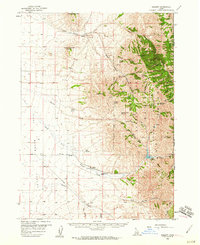 1958 Sublett1960 Print · USGSThe high country of Cassia County is captured here in the late fifties, showing the interplay between national forest lands and remote ranching. Researchers can locate named water sources like Moonshine Spring and trace the Van Camp Trail past Broken Circle Ranch.2 unique versions available
 - 1985 Map of Sublett
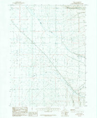 1985 Sublett1985 Print · USGSCassia County during the mid-1980s reveals a high-desert landscape defined by the deep incisions of Meadow Canyon and Big Canyon. Researchers can trace the watercourses of Warm Creek and the small settlement at Sublett as they existed forty years ago.
 - 1993 Map of Oakley
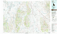 1993 Oakley1993 Print · USGSCassia County in the early nineties features a vast landscape of high-desert basins and granite formations. Genealogists and historians can trace the Hudspeth Cutoff, an Old Railroad Grade, and vanished towns like Churchill.
 - 2010 Map of Sublett, 2010 Print
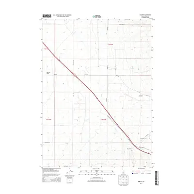
 2010 Sublett2010 Print · USGSCovers Sublett, including Cassia County, United States, and other nearby areas
 - 2013 Map of Sublett, 2013 Print
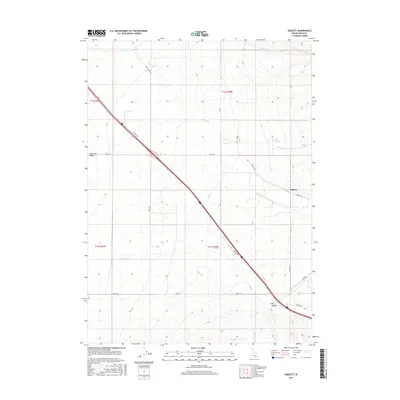
 2013 Sublett2013 Print · USGSCovers Sublett, including Cassia County, United States, and other nearby areas
 - 2017 Map of Sublett, 2017 Print
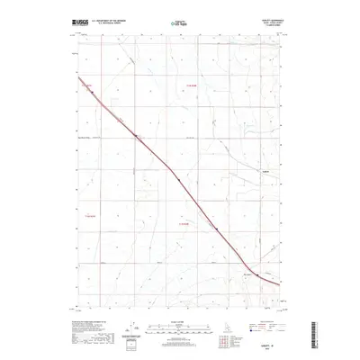
 2017 Sublett2017 Print · USGSCovers Sublett, including Cassia County, United States, and other nearby areas
 - 2020 Map of Sublett, 2020 Print
 2020 Sublett2020 Print · USGSCovers Sublett, including Cassia County, United States, and other nearby areas
 - 2023 Map of Sublett, 2023 Print
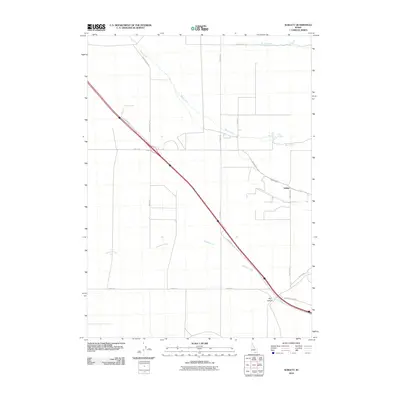
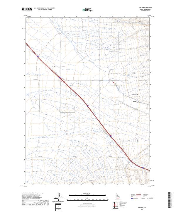 2023 Sublett2023 Print · USGSThe Raft River Valley meets the Sublett Range in this recent survey of the Idaho high desert. Genealogists can locate family sites near Sublett and the Sublett Cem, or trace local water rights along Sublett Creek and Meadow Creek.
End of results
Showing maps 1-10 of 10
Top cities near Sublett
Frequently asked questions
- What are the different types of historical maps available for Sublett?
- What is the oldest map of Sublett?
- Where can I purchase historical maps of Sublett for my home or office?
- Where can I download high-res historical maps of Sublett?
- Are there historical topographic maps available for Sublett?
- Is there historical aerial imagery available for Sublett?
- Where are historical maps of Sublett sourced from?