Old Maps of Preston, Idaho for Metal Detecting
Plan your next treasure hunt with 25 historic maps of Preston. Find old homesites, ghost towns, trails, and gathering spots that may be lost to time — perfect for identifying promising metal detecting locations.
- Locate forgotten sites: Uncover places like long-lost settlements, abandoned rail lines, or gathering spots.
- Plan better hunts: Use map overlays combined with LiDAR or satellite views to narrow in on historically rich areas.
- Made for detectorists: Thousands of hobbyists use these maps to discover relics, coins, and hidden history.
Use these historic maps to boost your research and find new opportunities beneath the surface of Preston.
Preston, ID maps
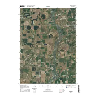
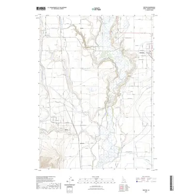
(25)- 1915 Map of Preston
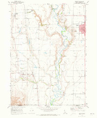
 1915 Preston1915 Print · USGSSoutheastern Idaho and northern Utah are defined by their river valleys and early irrigation networks during the mid-1910s. Genealogists can locate family landmarks like the Thatcher Meetinghouse, Egypt School, and the path of the Oregon Short Line.2 unique versions available
 - 1918 Map of Preston
 1918 Preston1918 Print · USGSSouthern Idaho and northern Utah are captured just before the close of the Great War, showing a landscape of burgeoning farm towns and irrigation canals. Researchers can trace the Oregon Short Line to early settlements like Preston or locate rural landmarks like the Thatcher Meetinghouse and Egypt School.2 unique versions available
 - 1955 Map of Preston, 1968 Print
 1955 Preston1968 Print · USGSSoutheast Idaho and western Wyoming are shown in detail during the mid-fifties, from the high Bear River Range to the Green River Basin. Genealogists and collectors can trace the Union Pacific RR through historic towns like Preston, Montpelier, and Afton.3 unique versions available
 - 1958 Map of Preston
 1958 Preston1958 Print · USGSThe high valleys of the Idaho and Wyoming borderlands are captured here in the late fifties, showcasing a landscape of mountain ranching and phosphate mining. Genealogists and historians can locate early settlements like Chesterfield and Bedford or trace the Union Pacific rail lines serving Cokeville.2 unique versions available
 - 1962 Map of Preston
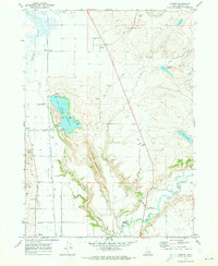
 1962 Preston1962 Print · USGSSoutheast Idaho and the Wyoming borderlands are captured here in the early sixties, a time of thriving agricultural valleys and mountain ranching. Researchers can trace the Union Pacific rail lines and find legacy settlements like Montpelier, Afton, and Preston.
 - 1969 Map of Weston, 1973 Print
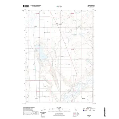
 1969 Weston1973 Print · USGSFranklin County's irrigation and rail network are on full display in the late 1960s, centered on the growing hubs of Preston and Weston. Researchers can trace the Union Pacific line past local landmarks like the Little Santa Anita Racetrack and the Historical Monument near Dayton.2 unique versions available
 - 1969 Map of Banida, 1973 Print
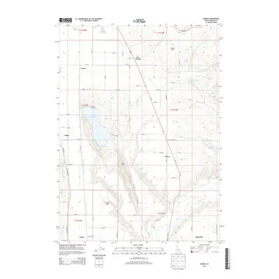
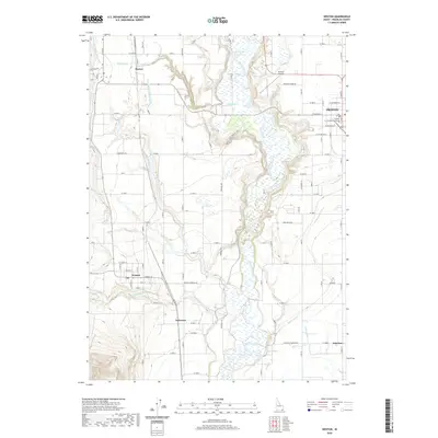
 1969 Banida1973 Print · USGSFranklin County's irrigation and rail landscape is captured here in the late sixties as agricultural development shaped the valley. Genealogists and local historians can trace family roots through small settlements like Banida and Dayton or locate the Pioneer Women Historical Monument and Wayland Hot Springs.
 - 1969 Map of Franklin, 1973 Print
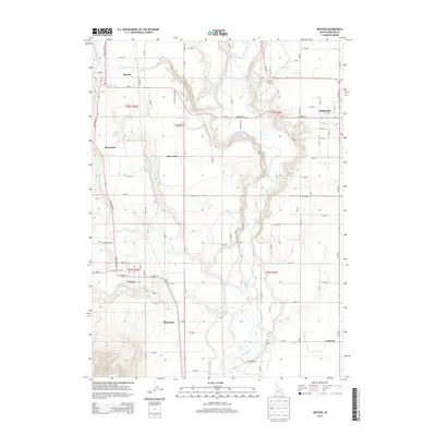
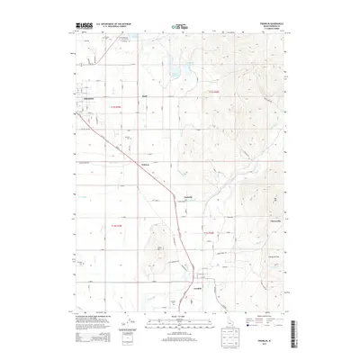
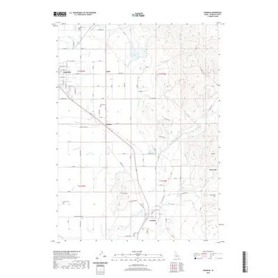
 1969 Franklin1973 Print · USGSFranklin and Preston were established agricultural hubs in the late sixties, tied together by the Union Pacific Railroad. You can trace old family roots and rural infrastructure through Whitney School, the Fairview Cemetery, and the Upper Canal.
 - 1983 Map of Preston
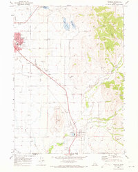
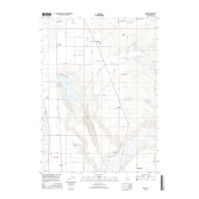
 1983 Preston1983 Print · USGSSoutheast Idaho and the tri-state border region thrived on a mix of mountain agriculture and rail transport in the early eighties. Genealogists and historians can trace the Union Pacific corridor through Preston or locate family landmarks in Mound Valley and Paris.
 - 2010 Map of Banida, 2010 Print
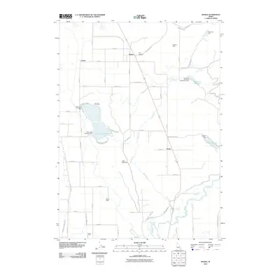 2010 Banida2010 Print · USGSCovers Preston, including Dayton, Clifton, and other nearby areas
 - 2010 Map of Franklin, 2010 Print
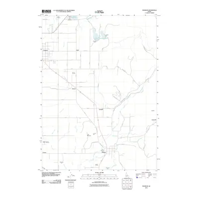 2010 Franklin2010 Print · USGSCovers Preston, including Franklin, Franklin County, and other nearby areas
 - 2011 Map of Weston, 2011 Print
 2011 Weston2011 Print · USGSCovers Preston, including Dayton, Weston, and other nearby areas
 - 2013 Map of Weston, 2013 Print
 2013 Weston2013 Print · USGSCovers Preston, including Dayton, Weston, and other nearby areas
 - 2013 Map of Banida, 2013 Print
 2013 Banida2013 Print · USGSCovers Preston, including Dayton, Clifton, and other nearby areas
 - 2013 Map of Franklin, 2013 Print
 2013 Franklin2013 Print · USGSCovers Preston, including Franklin, Franklin County, and other nearby areas
 - 2017 Map of Franklin, 2017 Print
 2017 Franklin2017 Print · USGSCovers Preston, including Franklin, Franklin County, and other nearby areas
 - 2017 Map of Banida, 2017 Print
 2017 Banida2017 Print · USGSCovers Preston, including Dayton, Clifton, and other nearby areas
 - 2017 Map of Weston, 2017 Print
 2017 Weston2017 Print · USGSCovers Preston, including Dayton, Weston, and other nearby areas
 - 2020 Map of Banida, 2020 Print
 2020 Banida2020 Print · USGSCovers Preston, including Dayton, Clifton, and other nearby areas
 - 2020 Map of Franklin, 2020 Print
 2020 Franklin2020 Print · USGSCovers Preston, including Franklin, Franklin County, and other nearby areas
 - 2020 Map of Weston, 2020 Print
 2020 Weston2020 Print · USGSCovers Preston, including Dayton, Weston, and other nearby areas
 - 2023 Map of Weston, 2023 Print
 2023 Weston2023 Print · USGSCovers Preston, including Dayton, Weston, and other nearby areas
 - 2023 Map of Franklin, 2023 Print
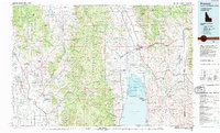
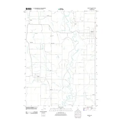
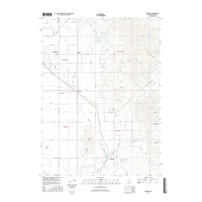
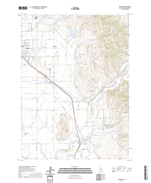 2023 Franklin2023 Print · USGSFranklin County's agricultural heartland is documented here in the early twenty-first century, showing the enduring grid of its historic settlements. Researchers can trace family roots through Preston Cemetery and Whitney Cemetery or follow the intricate paths of the Upper Canal and Cub River.
 - 2024 Map of Banida, 2024 Print
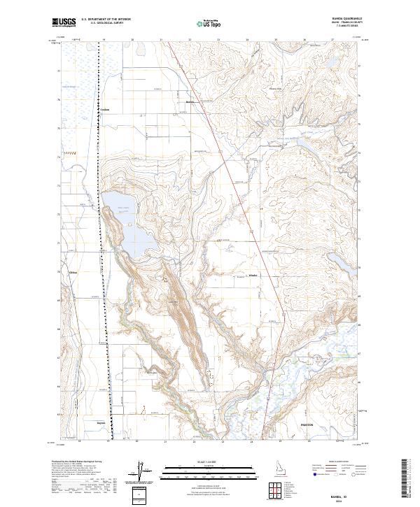 2024 Banida2024 Print · USGSFranklin County's irrigation and ranching landscape is captured here in the contemporary era. Researchers can trace rural lineages through local hubs like Banida, Dayton, and Beers Spur, or locate specific landmarks such as Wayland Hot Springs and Poverty Flats.
 - 2024 Map of Weston, 2024 Print
 2024 Weston2024 Print · USGSFranklin County's agricultural heartland is documented here in the modern era, showing the irrigation-dependent landscape between the Bear River and the western foothills. You can trace family roots at Weston Cem and Dayton Cem or explore the civic layout of Preston near the Franklin County Courthouse.
End of results
Showing maps 1-25 of 25
Top cities near Preston
- Richmond historical maps
- Lewiston historical maps
- Franklin historical maps
- Clarkston historical maps
- Dayton historical maps
- Weston historical maps
See more
Frequently asked questions
- What are the different types of historical maps available for Preston?
- What is the oldest map of Preston?
- Where can I purchase historical maps of Preston for my home or office?
- Where can I download high-res historical maps of Preston?
- Are there historical topographic maps available for Preston?
- Is there historical aerial imagery available for Preston?
- Where are historical maps of Preston sourced from?