Old Maps of Newdale, Idaho for Genealogy
Trace your family roots with 11 historic maps of Newdale. These high-res maps reveal old neighborhoods, homesites, landmarks, and streets — helping you uncover where your ancestors lived and how the area evolved over time.
- Explore historic neighborhoods: Identify where your relatives may have lived in the 1800s or 1900s.
- Compare maps over time: Trace the changes in streets, buildings, and landmarks for multi-generational research.
- Perfect for genealogy & ancestry research: Used by family historians and researchers to map out lineage and migration.
These maps are an incredible resource for exploring your personal connection to Newdale's past.
Newdale, ID maps
(11)- 1949 Map of Newdale, 1966 Print
 1949 Newdale1966 Print · USGSSoutheast Idaho at the end of the 1940s is defined by a intricate network of irrigation and rail. Researchers can trace the agricultural development around Chester and Newdale, following features like the Chester Cem, the Union Pacific line, and the deep winding gorge of the Teton River.2 unique versions available
 - 1950 Map of Newdale
 1950 Newdale1950 Print · USGSEastern Idaho’s agricultural heartland is captured here in the 1950s, showing the complex irrigation network between the Teton River and Fall River. Researchers can trace the Union Pacific rail lines and early road systems connecting Newdale and Chester.
 - 1955 Map of Driggs, 1967 Print
 1955 Driggs1967 Print · USGSEastern Idaho and Western Wyoming appear at a mid-century crossroads as the river valleys were fully settled and the high peaks protected. Genealogists and researchers can trace the rail towns of Rexburg and Driggs or follow the Snake River from Irwin to the Palisades Reservoir.3 unique versions available
 - 1958 Map of Driggs
 1958 Driggs1958 Print · USGSThe high Teton peaks and Snake River valleys are captured here in the mid-fifties, showing the region's agricultural and wilderness boundaries. Researchers can trace the Union Pacific rail corridor through Rexburg or locate early settlements like Clementsville and Tetonia.2 unique versions available
 - 1962 Map of Driggs
 1962 Driggs1962 Print · USGSThe Idaho-Wyoming borderlands are captured here in the early sixties, showing the peaks and valleys of the northern Rockies. Genealogists and historians can trace rail lines like the Union Pacific RR and isolated outposts like the National Elk Refuge or the Fort Hall Indian Reservation.
 - 1988 Map of Rexburg, 1989 Print
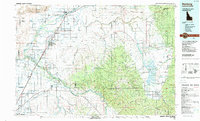 1988 Rexburg1989 Print · USGSThe Upper Snake River Valley in the late eighties shows a region shaped by water and agriculture. Genealogists and historians can locate family plots at the Rexburg Cemetery or trace the early paths of the Union Pacific Railroad through towns like Sugar City and Newdale.
 - 2010 Map of Newdale, 2010 Print
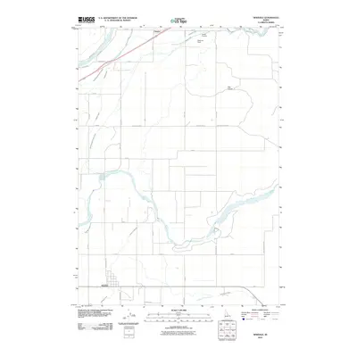 2010 Newdale2010 Print · USGSFremont County's agricultural heartland is documented in this 2010 survey, showing the vital irrigation systems of the Snake River Plain. Researchers can locate the community of Chester, the Chester Cemetery, and the riverfronts of Henrys Fork and the Teton River.
 - 2013 Map of Newdale, 2013 Print
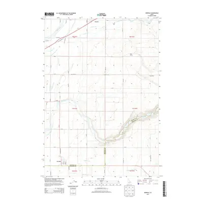 2013 Newdale2013 Print · USGSUpper Snake River Valley farming and irrigation are captured here in the early twenty-first century. Genealogists and local historians can trace the rural landscape near Newdale and Chester, including the Chester Cem and the complex Teton Canal network.
 - 2017 Map of Newdale, 2017 Print
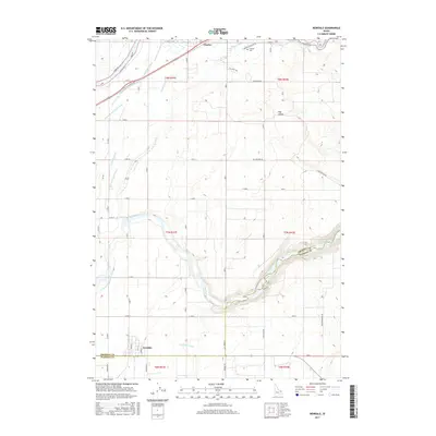 2017 Newdale2017 Print · USGSThe Fremont and Madison County line runs through this agricultural corridor during the late twenty-teens, dominated by the winding Teton River canyon. Researchers can trace intricate water systems like the Crosscut Canal and find local landmarks such as Chester Cem and Hog Hollow.
 - 2020 Map of Newdale, 2020 Print
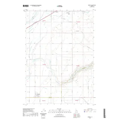 2020 Newdale2020 Print · USGSThe high plains of eastern Idaho are defined here by a sophisticated irrigation network during the early twenty-first century. Genealogists and historians can trace the layouts of Newdale and Chester, while locating landmarks like the Chester Cem and 800 North and the PO.
 - 2023 Map of Newdale, 2023 Print
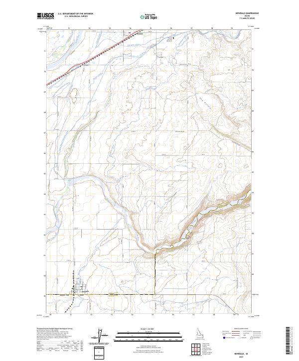 2023 Newdale2023 Print · USGSIn the high agricultural country of the Snake River Plain, this contemporary survey captures the essential water networks of the Teton and Henrys Fork basins. Genealogists and local historians can trace the irrigation systems of the Last Chance Canal and Enterprise Canal near Newdale and Chester.
End of results
Showing maps 1-11 of 11
Top cities near Newdale
- Rexburg historical maps
- St. Anthony historical maps
- Sugar City historical maps
- Ashton historical maps
- Teton historical maps
- Parker historical maps
Frequently asked questions
- What are the different types of historical maps available for Newdale?
- What is the oldest map of Newdale?
- Where can I purchase historical maps of Newdale for my home or office?
- Where can I download high-res historical maps of Newdale?
- Are there historical topographic maps available for Newdale?
- Is there historical aerial imagery available for Newdale?
- Where are historical maps of Newdale sourced from?