Old Maps of Bliss, Idaho for Hiking & Exploration
Hike through history with 9 historic maps of Bliss. Explore old trails, ghost towns, and forgotten backroads — perfect for outdoor adventurers and local explorers.
- Rediscover forgotten places: Map out old mining camps, roads, and footpaths that no longer exist on modern maps.
- Layer with modern tools: Combine with LiDAR or satellite views to plan hikes through historical terrain.
- Made for exploration: Popular among hikers, overlanders, and local history lovers.
Use these maps to find adventure and explore the hidden past of Bliss.
Bliss, ID maps
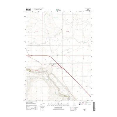
(9)- 1949 Map of Bliss, 1958 Print
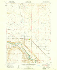 1949 Bliss1958 Print · USGSThe community of Bliss at the edge of the Snake River canyon is shown here in the late 1940s. Genealogists and historians can trace local landmarks like the Pioneer Cem, the Union Pacific rail corridor, and Bliss Point.4 unique versions available
 - 1950 Map of Bliss
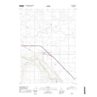
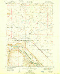 1950 Bliss1950 Print · USGSThe rail-and-river landscape of southern Idaho is captured here at mid-century, centered on the town of Bliss. Genealogists and historians can trace the Union Pacific (Oregon Short Line) and local landmarks like the Cem and Bliss Reservoir.
 - 1955 Map of Twin Falls, 1963 Print
 1955 Twin Falls1963 Print · USGSThe Magic Valley flourished in the mid-1950s as a sophisticated network of irrigation and rail lines connected high-desert outposts. Researchers can trace the engineering of the Milner-Gooding Canal, the remote Murphy Hot Springs, and the Union Pacific rail network.3 unique versions available
 - 1958 Map of Twin Falls
 1958 Twin Falls1958 Print · USGSThe Magic Valley and Snake River Plain are captured here in the late fifties, showcasing a region defined by transformative irrigation projects and desert military ranges. Researchers can trace the Union Pacific rail lines and locate small outlying settlements like Wickahoney, Rogerson, and Hollister.2 unique versions available
 - 2010 Map of Bliss, 2010 Print
 2010 Bliss2010 Print · USGSCovers Bliss, including Twin Falls County, Gooding County, and other nearby areas
 - 2013 Map of Bliss, 2013 Print
 2013 Bliss2013 Print · USGSCovers Bliss, including Twin Falls County, Gooding County, and other nearby areas
 - 2017 Map of Bliss, 2017 Print
 2017 Bliss2017 Print · USGSCovers Bliss, including Twin Falls County, Gooding County, and other nearby areas
 - 2020 Map of Bliss, 2020 Print
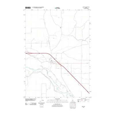
 2020 Bliss2020 Print · USGSCovers Bliss, including Twin Falls County, Gooding County, and other nearby areas
 - 2024 Map of Bliss, 2024 Print
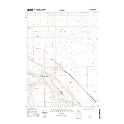
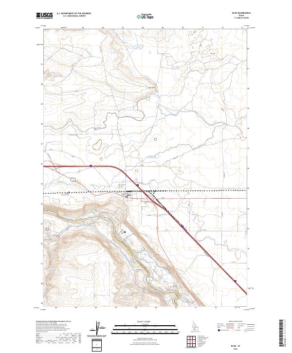 2024 Bliss2024 Print · USGSBliss and the Hagerman Valley are captured in this modern survey of the Snake River canyon. Genealogists can locate the Chinese Memorial Cem and Bliss Family Cem, while researchers can trace the intricate irrigation network of the King Hill Main Canal.
End of results
Showing maps 1-9 of 9
Top cities near Bliss
Frequently asked questions
- What are the different types of historical maps available for Bliss?
- What is the oldest map of Bliss?
- Where can I purchase historical maps of Bliss for my home or office?
- Where can I download high-res historical maps of Bliss?
- Are there historical topographic maps available for Bliss?
- Is there historical aerial imagery available for Bliss?
- Where are historical maps of Bliss sourced from?