Old Maps of Harrison, Idaho for Genealogy
Trace your family roots with 12 historic maps of Harrison. These high-res maps reveal old neighborhoods, homesites, landmarks, and streets — helping you uncover where your ancestors lived and how the area evolved over time.
- Explore historic neighborhoods: Identify where your relatives may have lived in the 1800s or 1900s.
- Compare maps over time: Trace the changes in streets, buildings, and landmarks for multi-generational research.
- Perfect for genealogy & ancestry research: Used by family historians and researchers to map out lineage and migration.
These maps are an incredible resource for exploring your personal connection to Harrison's past.
Harrison, ID maps
(12)- 1955 Map of Spokane, 1965 Print
 1955 Spokane1965 Print · USGSInland Empire life in the fifties and sixties centers on the growth of Spokane and the heavy mining industry of northern Idaho. Trace mid-century landmarks like Fairchild Air Force Base, the Bunker Hill Mine, and early campuses such as Gonzaga University.2 unique versions available
 - 1957 Map of Plummer, 1959 Print
 1957 Plummer1959 Print · USGSSouthern Coeur d'Alene Lake and the surrounding timberlands are captured here in the mid-fifties, showing the intersection of lake life and rail industry. Researchers can trace the Milwaukee Road through the Sorrento Tunnel or locate historic sites in Heyburn State Park and Harrison.2 unique versions available
 - 1958 Map of Spokane
 1958 Spokane1958 Print · USGSThe Inland Empire is shown at a mid-century peak of industrial and military activity, from the rail hubs of Spokane to the deep silver mines of northern Idaho. Researchers can trace the sprawling rail lines of the Union Pacific RR or locate landmarks like Fairchild Air Force Base and the Bunker Hill Smelter & Mine.
 - 1975 Map of Plummer NE, 1977 Print
 1975 Plummer NE1977 Print · USGSHarrison and the surrounding shores of Kootenai County are seen here in the mid-seventies just as the landscape was transitioning through new agricultural and tribal land management. Researchers can trace the exact shoreline of Coeur d'Alene Lake and the mouth of the Coeur d'Alene River near Harrison.
 - 1981 Map of St Maries
 1981 St Maries1981 Print · USGSThe timber and rail hub of St. Maries is captured here in the early 1980s as the river-and-rail economy defined the Panhandle. Researchers can trace historic transport corridors including the Union Pacific tracks and remote landings along the St Joe River and Chatcolet Lake.2 unique versions available
 - 1981 Map of Harrison, 1982 Print
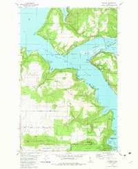 1981 Harrison1982 Print · USGSThe eastern shores of Coeur d'Alene Lake are captured here in the early eighties, showcasing a landscape defined by timber, rail, and water. Genealogists and local historians can trace the Union Pacific line through Harrison and locate the Indian Cemetery or the lakeside homes of Conkling Park.
 - 1996 Map of Harrison, 1999 Print
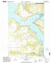 1996 Harrison1999 Print · USGSThe eastern shores of Coeur d'Alene Lake come alive in the late nineties, showing a landscape defined by the confluence of major rivers and growing lakeside communities. Researchers can trace family sites near Harrison, locate the local Cem, and explore the boundaries of Heyburn State Park.
 - 2011 Map of Harrison, 2011 Print
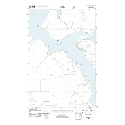 2011 Harrison2011 Print · USGSHarrison and the Coeur d'Alene River waterfront are captured here in the early twenty-first century as the area transitioned toward a recreational hub. Researchers can trace local landmarks like Conkling Park, Camp Easterseal, and the hills around Peaceful Valley.
 - 2014 Map of Harrison, 2014 Print
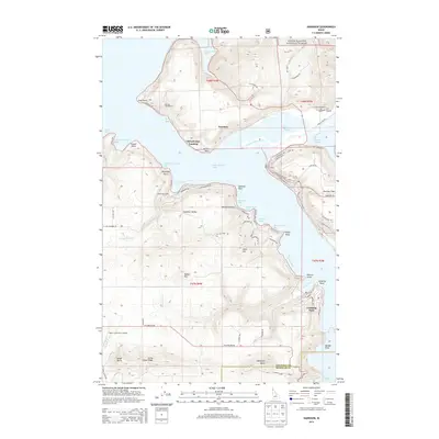 2014 Harrison2014 Print · USGSCoeur d'Alene Lake and the mouth of the Coeur d'Alene River dominate this Idaho landscape in the early twenty-first century. Genealogists and historians can trace lakeside settlements at Harrison, Conkling Park, and the unique Chl'ach'alqw Landing alongside mountain landmarks like Talbot Hill.
 - 2017 Map of Harrison, 2017 Print
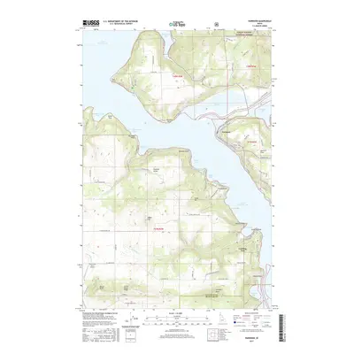 2017 Harrison2017 Print · USGSThe eastern shores of Coeur d'Alene Lake are captured here in the late 2010s, showcasing the area's transition from timber to recreation. Researchers can trace local development in Harrison or find land features like Shoeffler Butte and the remote Rock Creek Farm Airport.
 - 2020 Map of Harrison, 2020 Print
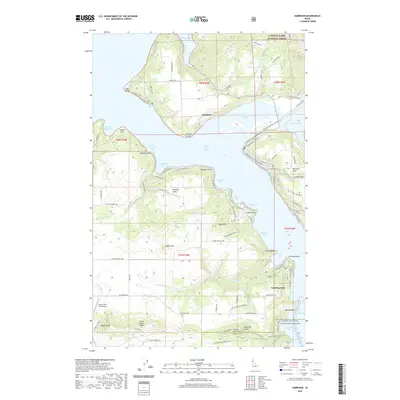 2020 Harrison2020 Print · USGSThe eastern shores of Coeur d'Alene Lake are mapped here in the modern era, showing the intersection of river, lake, and forest. Genealogists and local historians can trace the developments at Harrison, Conkling Park, and the isolated Rock Creek Farm Airport.
 - 2024 Map of Harrison, 2024 Print
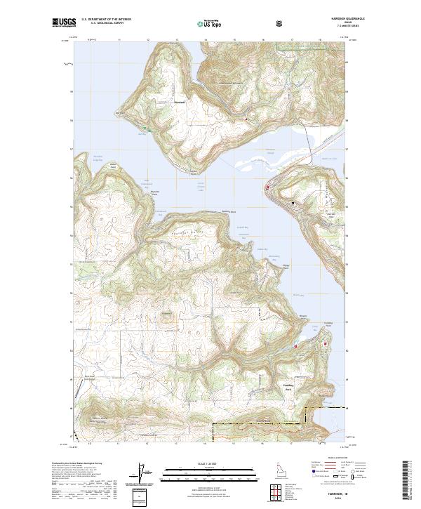 2024 Harrison2024 Print · USGSThe lakeside community of Harrison and the southern reaches of Coeur d'Alene Lake are detailed here in recent years. Researchers can trace local landmarks like Harrison Cem, the Rock Creek Farm Airport, and the Conkling Park settlement.
End of results
Showing maps 1-12 of 12
Top cities near Harrison
- Coeur d'Alene historical maps
- Saint Maries historical maps
- Plummer historical maps
- Worley historical maps
- Fernan Lake Village historical maps
Frequently asked questions
- What are the different types of historical maps available for Harrison?
- What is the oldest map of Harrison?
- Where can I purchase historical maps of Harrison for my home or office?
- Where can I download high-res historical maps of Harrison?
- Are there historical topographic maps available for Harrison?
- Is there historical aerial imagery available for Harrison?
- Where are historical maps of Harrison sourced from?