Old Maps of Bundy, Idaho for Academic Research
Study the evolution of Bundy with 10 high-resolution historic maps. Whether you're teaching, researching, or modeling changes in land use, these maps provide essential visual documentation of urban, environmental, and geographic change.
- Analyze long-term change: Track patterns in development, transportation, and natural features.
- Ideal for environmental or urban studies: Support academic projects with primary historical map data.
- Use in the classroom or lab: Educators and researchers rely on these maps to bring historical context to life.
These maps are a powerful tool for teaching, research, and visualizing how Bundy has changed over the decades.
Bundy, ID maps
(10)- 1955 Map of Pullman, 1963 Print
 1955 Pullman1963 Print · USGSThe Palouse and Clearwater regions are captured here in the mid-1950s, showing the height of the rail-and-river economy. Genealogists and historians can trace rail lines like the Camas Prairie RR, find local landmarks like Whitman County Memorial Cem, and locate early academic centers at Washington State University and the University of Idaho.3 unique versions available
 - 1958 Map of Pullman
 1958 Pullman1958 Print · USGSThe Palouse and Clearwater regions are captured here in the late fifties, showing the vital river-and-rail connection between eastern Washington and northern Idaho. Local historians can trace the paths of the Camas Prairie RR and Union Pacific RR as they serve towns like Colfax, Kamiah, and Nezperce.2 unique versions available
 - 1958 Map of Sweetwater, 1960 Print
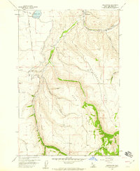 1958 Sweetwater1960 Print · USGSNez Perce County's ranching and reservation lands are captured here in the late fifties, showcasing the intricate water systems of the Lapwai Valley. Researchers can locate the Sweetwater Cemetery, the William Craig Historical Mon, and the small settlement at Webb.2 unique versions available
 - 1958 Map of Lewiston Orchards, 1960 Print
 1958 Lewiston Orchards1960 Print · USGSNez Perce County in the late fifties shows the development of the Clearwater and Snake River basins as irrigation and rail networks expanded. Genealogists can locate family names at Webb Cemetery, the Tammany School, and the North Idaho Indian Agency.
 - 1981 Map of Orofino, 1982 Print
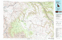 1981 Orofino1982 Print · USGSNorth central Idaho comes into focus in the early eighties, showing the deep river canyons and agricultural plateaus of the Nez Perce Indian Reservation. Genealogists and historians can trace the Camas Prairie rail line through rural hubs like Ferdinand, Mohler, and Reubens.
 - 2010 Map of Sweetwater, 2010 Print
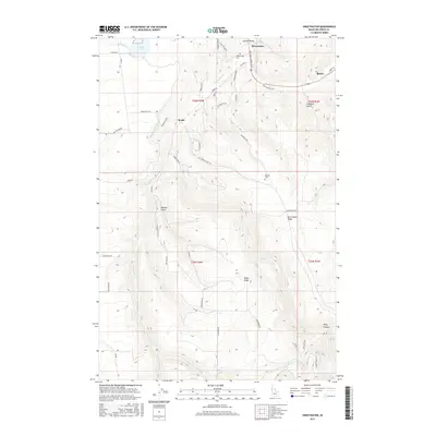
 2010 Sweetwater2010 Print · USGSCovers Bundy, including Sweetwater, Webb, and other nearby areas
 - 2013 Map of Sweetwater, 2013 Print
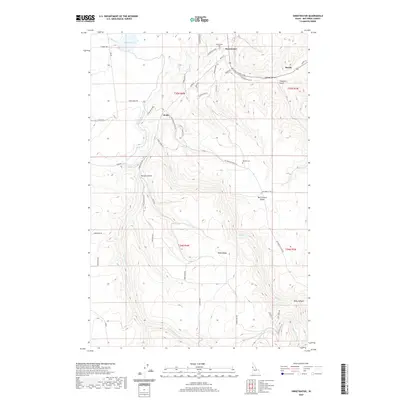
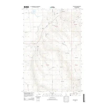 2013 Sweetwater2013 Print · USGSCovers Bundy, including Sweetwater, Webb, and other nearby areas
 - 2017 Map of Sweetwater, 2017 Print
 2017 Sweetwater2017 Print · USGSCovers Bundy, including Sweetwater, Webb, and other nearby areas
 - 2020 Map of Sweetwater, 2020 Print
 2020 Sweetwater2020 Print · USGSCovers Bundy, including Sweetwater, Webb, and other nearby areas
 - 2024 Map of Sweetwater, 2024 Print
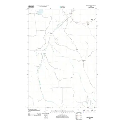
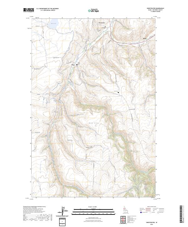 2024 Sweetwater2024 Print · USGSThe Nez Perce canyonlands come into focus in this contemporary survey of the high plateaus and creek valleys south of Lewiston. Researchers can trace tribal and family history through the Webb Indian Cem and follow irrigation routes like the Sweetwater Canal.
End of results
Showing maps 1-10 of 10
Top cities near Bundy
- Lewiston historical maps
- Lapwai historical maps
- Genesee historical maps
- Juliaetta historical maps
- Culdesac historical maps
- Winchester historical maps
Frequently asked questions
- What are the different types of historical maps available for Bundy?
- What is the oldest map of Bundy?
- Where can I purchase historical maps of Bundy for my home or office?
- Where can I download high-res historical maps of Bundy?
- Are there historical topographic maps available for Bundy?
- Is there historical aerial imagery available for Bundy?
- Where are historical maps of Bundy sourced from?