Old Maps of Cedarhill, Idaho for Genealogy
Trace your family roots with 9 historic maps of Cedarhill. These high-res maps reveal old neighborhoods, homesites, landmarks, and streets — helping you uncover where your ancestors lived and how the area evolved over time.
- Explore historic neighborhoods: Identify where your relatives may have lived in the 1800s or 1900s.
- Compare maps over time: Trace the changes in streets, buildings, and landmarks for multi-generational research.
- Perfect for genealogy & ancestry research: Used by family historians and researchers to map out lineage and migration.
These maps are an incredible resource for exploring your personal connection to Cedarhill's past.
Cedarhill, ID maps
(9)- 1954 Map of Pocatello, 1963 Print
 1954 Pocatello1963 Print · USGSSoutheast Idaho in the mid-1950s reveals a landscape shaped by massive water reclamation and mountain forests. Researchers can trace the development of the Fort Hall Indian Reservation or locate specific landmarks like the Arbon P O and Emerson School.4 unique versions available
 - 1958 Map of Pocatello
 1958 Pocatello1958 Print · USGSSoutheastern Idaho in the late fifties was a landscape of expanding reservoirs and historic trails. Genealogists and historians can trace the Old Oregon Trail, locate the Bannock Creek Indian Day School, and study the many Union Pacific rail sidings.2 unique versions available
 - 1973 Map of Cedarhill, 1977 Print
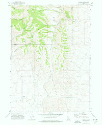 1973 Cedarhill1977 Print · USGSOneida County's high-desert terrain is captured here in the early 1970s, showcasing the high-elevation livestock and mining landscape. Local history buffs can trace the rugged Jeep Trail and locate rural landmarks like the Gravel Pit and Cedarhill settlement.
 - 1984 Map of Malad City
 1984 Malad City1984 Print · USGSSoutheastern Idaho in the mid-eighties shows a landscape of high valleys and prominent ranges between the Malad and Curlew basins. Genealogists and historians can trace the foundations of local ranching communities like Samaria, Holbrook, and Arbon, or locate the Black Pine Bird Sanctuary.2 unique versions available
 - 2011 Map of Cedarhill, 2011 Print
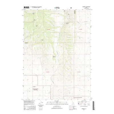
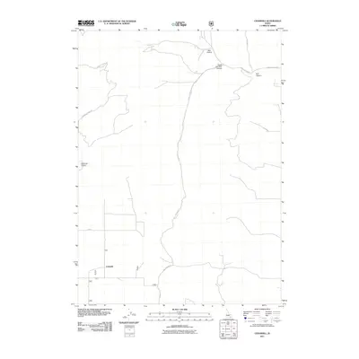 2011 Cedarhill2011 Print · USGSCovers Cedarhill, including Oneida County, Power County, and other nearby areas
 - 2013 Map of Cedarhill, 2013 Print
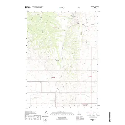
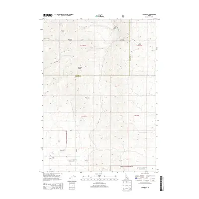 2013 Cedarhill2013 Print · USGSCovers Cedarhill, including Oneida County, Power County, and other nearby areas
 - 2017 Map of Cedarhill, 2017 Print
 2017 Cedarhill2017 Print · USGSCovers Cedarhill, including Oneida County, Power County, and other nearby areas
 - 2020 Map of Cedarhill, 2020 Print
 2020 Cedarhill2020 Print · USGSCovers Cedarhill, including Oneida County, Power County, and other nearby areas
 - 2024 Map of Cedarhill, 2024 Print
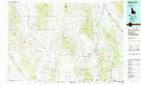
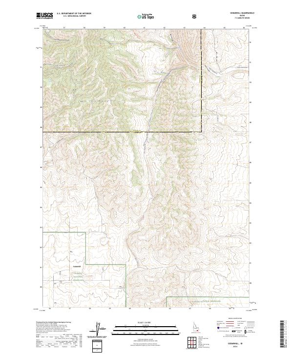 2024 Cedarhill2024 Print · USGSOneida County's high-desert canyons and grazing lands are captured in this contemporary view of south-central Idaho. Researchers can trace the boundaries of the Curlew National Grassland and find remote landmarks like Cedarhill and Pine Spring.
End of results
Showing maps 1-9 of 9
Frequently asked questions
- What are the different types of historical maps available for Cedarhill?
- What is the oldest map of Cedarhill?
- Where can I purchase historical maps of Cedarhill for my home or office?
- Where can I download high-res historical maps of Cedarhill?
- Are there historical topographic maps available for Cedarhill?
- Is there historical aerial imagery available for Cedarhill?
- Where are historical maps of Cedarhill sourced from?