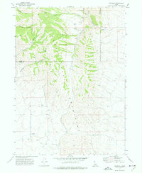
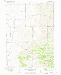
1973 Map of Cedarhill
USGS Topo · Published 1977About this map
The Deep Creek Mountains dominate this high-desert landscape in southern Idaho, where the high ridges are incised by a series of deep drainages. The Power Co Oneida Co line runs through the northern reaches of this territory, dividing the high country. Small-scale human interventions in this remote environment are limited to cattle ranching and resource extraction, evidenced by a Corral and a Gravel Pit near the small settlement of Cedarhill.
Find a feature on this map
20 named features on this map. Tap any name to fly to it.
Don’t see what you’re looking for? This feature index may not catch every label — zoom into the map to look around manually.
Map Details
Editions of this 1973 Cedarhill Map
This is the sole edition of this map. No revisions or reprints were ever made.
Other maps of this area

1954 · Pocatello
USGS Topo · 1:250,000

1958 · Pocatello
USGS Topo · 1:250,000
1973 · Arbon
USGS Topo · 1:24,000
1973 · Roy
USGS Topo · 1:24,000
1973 · Badger Hole Spring
USGS Topo · 1:24,000
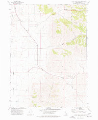
1973 · Sheep Creek Spring
USGS Topo · 1:24,000
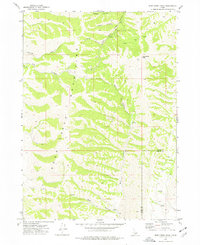
1973 · Deep Creek Peak
USGS Topo · 1:24,000
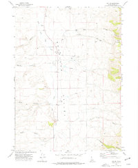
1973 · Roy NE
USGS Topo · 1:24,000
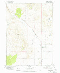
1973 · Holbrook
USGS Topo · 1:24,000
1973 · Buist
USGS Topo · 1:24,000