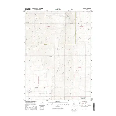
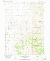
2013 Map of Cedarhill
USGS Topo · Published 2013About this map
Deep Creek Mountains dominate the central landscape of this Idaho quadrangle, where the high-altitude terrain is carved by a network of drainage systems. The small settlement of Cedarhill sits in the southwest corner, positioned along the edge of the Curlew National Grassland. This area reflects a classic intermountain west land use pattern, where narrow canyons such as Goddard Canyon and Stewart Canyon are accessed by primitive routes like Stuart Canyon Rd. The map documents a rugged topography defined by sharp elevation changes and natural landmarks named for early local families or natural features, including Harwood Canyon and the expansive Bull Canyon system. The boundary between Power Co and Oneida Co bisects the region, marking the administrative divisions of this high-country territory.
Find a feature on this map
21 named features on this map. Tap any name to fly to it.
Don’t see what you’re looking for? This feature index may not catch every label — zoom into the map to look around manually.
Map Details
Editions of this 2013 Cedarhill Map
This is the sole edition of this map. No revisions or reprints were ever made.
Other maps of this area

1954 · Pocatello
USGS Topo · 1:250,000

1958 · Pocatello
USGS Topo · 1:250,000
1973 · Arbon
USGS Topo · 1:24,000
1973 · Roy
USGS Topo · 1:24,000
1973 · Badger Hole Spring
USGS Topo · 1:24,000
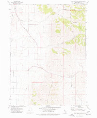
1973 · Sheep Creek Spring
USGS Topo · 1:24,000
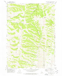
1973 · Deep Creek Peak
USGS Topo · 1:24,000
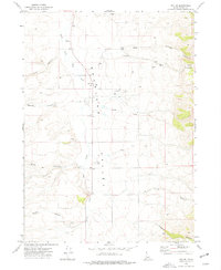
1973 · Roy NE
USGS Topo · 1:24,000
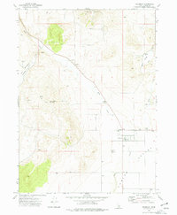
1973 · Holbrook
USGS Topo · 1:24,000
1973 · Buist
USGS Topo · 1:24,000