Old Maps of Malad City, Idaho for Academic Research
Study the evolution of Malad City with 15 high-resolution historic maps. Whether you're teaching, researching, or modeling changes in land use, these maps provide essential visual documentation of urban, environmental, and geographic change.
- Analyze long-term change: Track patterns in development, transportation, and natural features.
- Ideal for environmental or urban studies: Support academic projects with primary historical map data.
- Use in the classroom or lab: Educators and researchers rely on these maps to bring historical context to life.
These maps are a powerful tool for teaching, research, and visualizing how Malad City has changed over the decades.
Malad City, ID maps
(15)- 1954 Map of Pocatello, 1963 Print
 1954 Pocatello1963 Print · USGSSoutheast Idaho in the mid-1950s reveals a landscape shaped by massive water reclamation and mountain forests. Researchers can trace the development of the Fort Hall Indian Reservation or locate specific landmarks like the Arbon P O and Emerson School.4 unique versions available
 - 1958 Map of Pocatello
 1958 Pocatello1958 Print · USGSSoutheastern Idaho in the late fifties was a landscape of expanding reservoirs and historic trails. Genealogists and historians can trace the Old Oregon Trail, locate the Bannock Creek Indian Day School, and study the many Union Pacific rail sidings.2 unique versions available
 - 1968 Map of Malad City West, 1971 Print
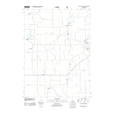
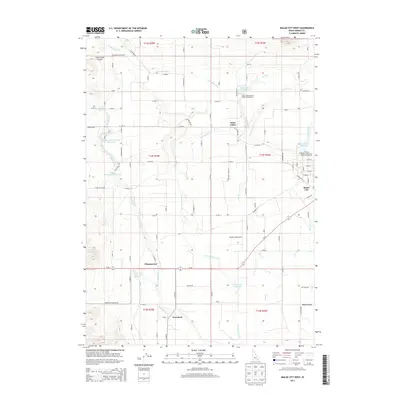
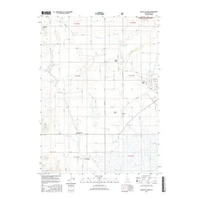
 1968 Malad City West1971 Print · USGSOneida County's agricultural heartland is captured here in the late sixties as the irrigation networks of the valley matured. Genealogists and local historians can trace the homesteads around St Johns, the rail corridor of the Union Pacific, and landmarks like Pleasantview Warm Springs.
 - 1968 Map of Malad City East, 1971 Print
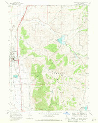 1968 Malad City East1971 Print · USGSOneida County at the end of the 1960s shows a landscape of mountain reservoirs and the critical Union Pacific rail corridor. Trace local landmarks like the Malad City Cem, County Fairgrounds, and the high boundaries of the Caribou National Forest.2 unique versions available
 - 1984 Map of Malad City
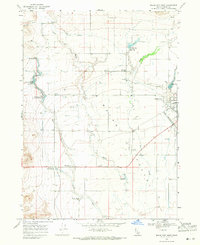
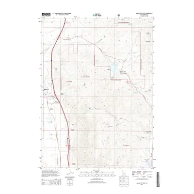
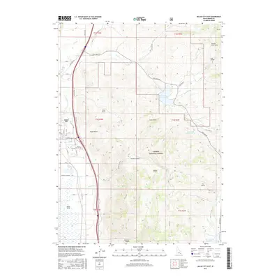
 1984 Malad City1984 Print · USGSSoutheastern Idaho in the mid-eighties shows a landscape of high valleys and prominent ranges between the Malad and Curlew basins. Genealogists and historians can trace the foundations of local ranching communities like Samaria, Holbrook, and Arbon, or locate the Black Pine Bird Sanctuary.2 unique versions available
 - 2011 Map of Malad City East, 2011 Print
 2011 Malad City East2011 Print · USGSCovers Malad City, including Oneida County, United States, and other nearby areas
 - 2011 Map of Malad City West, 2011 Print
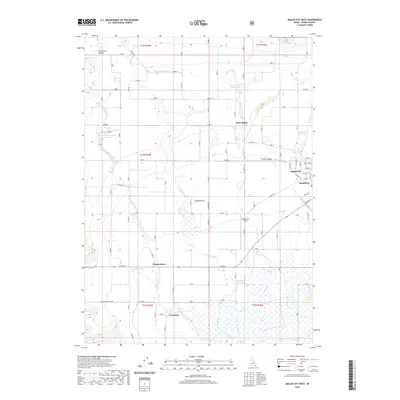
 2011 Malad City West2011 Print · USGSCovers Malad City, including Malad, Gwenford, and other nearby areas
 - 2013 Map of Malad City West, 2013 Print
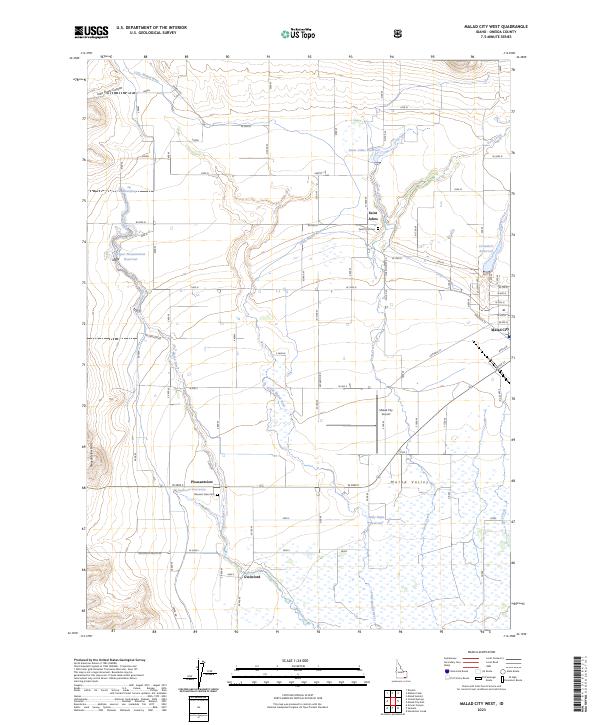
 2013 Malad City West2013 Print · USGSCovers Malad City, including Malad, Gwenford, and other nearby areas
 - 2013 Map of Malad City East, 2013 Print
 2013 Malad City East2013 Print · USGSCovers Malad City, including Oneida County, United States, and other nearby areas
 - 2017 Map of Malad City East, 2017 Print
 2017 Malad City East2017 Print · USGSCovers Malad City, including Oneida County, United States, and other nearby areas
 - 2017 Map of Malad City West, 2017 Print
 2017 Malad City West2017 Print · USGSCovers Malad City, including Malad, Gwenford, and other nearby areas
 - 2020 Map of Malad City East, 2020 Print
 2020 Malad City East2020 Print · USGSCovers Malad City, including Oneida County, United States, and other nearby areas
 - 2020 Map of Malad City West, 2020 Print
 2020 Malad City West2020 Print · USGSCovers Malad City, including Malad, Gwenford, and other nearby areas
 - 2023 Map of Malad City West, 2023 Print
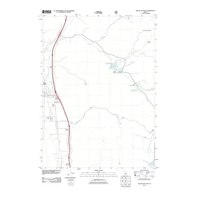
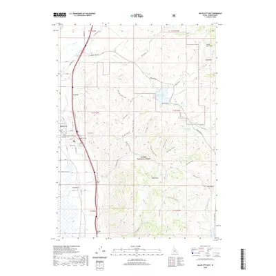
 2023 Malad City West2023 Print · USGSThe Malad Valley and its agricultural corridors are captured here in the early twenty-first century. Researchers can trace the layout of early settlements like Saint Johns and Gwenford or locate family sites at Saint John Cem.
 - 2023 Map of Malad City East, 2023 Print
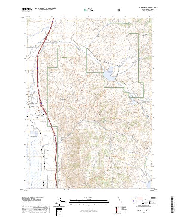 2023 Malad City East2023 Print · USGSOneida County is shown here in the 2020s, where the eastern edge of Malad City meets the forested peaks of the Malad Range. Researchers can trace local landmarks like the Oneida County Courthouse or explore the backcountry via the Deep Creek Trl and Maple Hollow Trl.
End of results
Showing maps 1-15 of 15
Top cities near Malad City
Top neighborhoods of Malad City
Frequently asked questions
- What are the different types of historical maps available for Malad City?
- What is the oldest map of Malad City?
- Where can I purchase historical maps of Malad City for my home or office?
- Where can I download high-res historical maps of Malad City?
- Are there historical topographic maps available for Malad City?
- Is there historical aerial imagery available for Malad City?
- Where are historical maps of Malad City sourced from?