Old Maps of New Plymouth, Idaho for Genealogy
Trace your family roots with 11 historic maps of New Plymouth. These high-res maps reveal old neighborhoods, homesites, landmarks, and streets — helping you uncover where your ancestors lived and how the area evolved over time.
- Explore historic neighborhoods: Identify where your relatives may have lived in the 1800s or 1900s.
- Compare maps over time: Trace the changes in streets, buildings, and landmarks for multi-generational research.
- Perfect for genealogy & ancestry research: Used by family historians and researchers to map out lineage and migration.
These maps are an incredible resource for exploring your personal connection to New Plymouth's past.
New Plymouth, ID maps
(11)- 1898 Map of Nampa
 1898 Nampa1898 Print · USGSThe Treasure Valley's transformation is visible in the 1890s as railroads and massive irrigation projects began to reshape the high desert. Researchers can trace the development of early rail lines like the Boise Nampa & Owyhee R. R. and early canals such as the Riverside Canal and Newman Canal.4 unique versions available
 - 1955 Map of Boise, 1977 Print
 1955 Boise1977 Print · USGSThe Treasure Valley and Owyhee uplands are shown in detail during the mid-fifties, capturing the region's transition into a major agricultural and urban hub. Researchers can trace the Union Pacific line through Nampa, explore the volcanic Jordan Craters, or locate the historic mining district of Silver City.
 - 1958 Map of Boise
 1958 Boise1958 Print · USGSThe Treasure Valley and Snake River Plain come alive in the mid-fifties as the rail-and-river economy transitions into a modern agricultural hub. Trace the Union Pacific lines through Nampa or locate remote landmarks like Initial Point and the Rockville settlement.2 unique versions available
 - 1962 Map of Boise
 1962 Boise1962 Print · USGSThe Treasure Valley at the start of the sixties reveals a landscape of expanding towns and complex irrigation networks along the Snake River. Genealogists and historians can trace the foundations of modern Idaho through markers like Initial Point, the mining history of Silver City, and the early infrastructure of Lucky Peak Dam.
 - 1965 Map of New Plymouth, 1967 Print
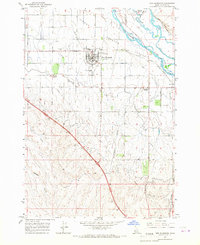 1965 New Plymouth1967 Print · USGSThe Lower Payette Valley and the distinctive horseshoe town of New Plymouth are shown here in the mid-sixties during a period of steady agricultural development. Researchers can trace the layout of the County Fairgrounds, the Union Pacific rail route, and local sites like Hamilton Corner.2 unique versions available
 - 1981 Map of Boise
 1981 Boise1981 Print · USGSThe Boise River valley and Treasure Plain are captured here in the early eighties as urban expansion began to link the regional hubs of the Snake River plain. Researchers can trace the development of Nampa, Caldwell, and Meridian or locate landmarks like Lake Lowell and Eagle Island State Park.2 unique versions available
 - 2010 Map of New Plymouth, 2010 Print
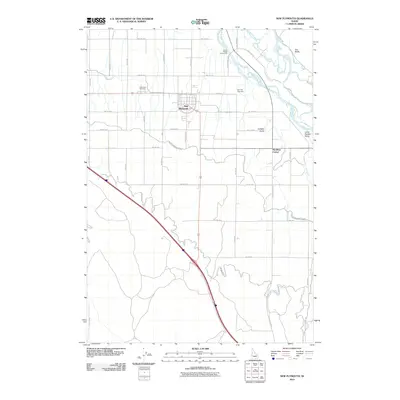 2010 New Plymouth2010 Print · USGSThe Lower Payette Valley of western Idaho is shown here in the early 21st century, defined by its intensive irrigation network and riverfront terrain. Genealogists and local historians can locate Parkview Cemetery, trace the path of the Noble Canal, or explore the rural surroundings of New Plymouth and Hamilton Corner.
 - 2013 Map of New Plymouth, 2013 Print
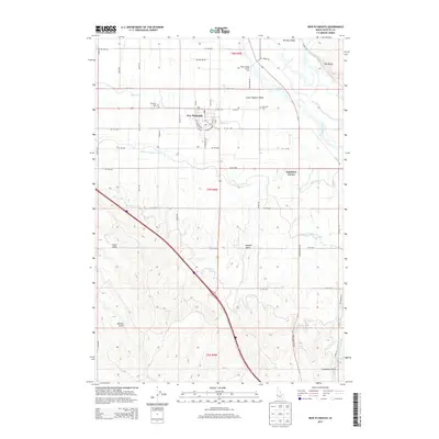 2013 New Plymouth2013 Print · USGSThe Lower Payette Valley comes into focus in the early 2010s, showing the unique horseshoe street plan of New Plymouth. Researchers can trace irrigation networks like the Farmers Cooperative Canal and locate local landmarks including Kennedy Cem and Hamilton Corner.
 - 2017 Map of New Plymouth, 2017 Print
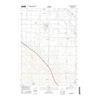 2017 New Plymouth2017 Print · USGSThe Lower Payette Valley comes into sharp focus during the late twenty-tens as an engineered landscape of canals and homesteads. Genealogists can locate Parkview Cem near New Plymouth or trace the A Line Canal past Hamilton Corner and Graveyard Gulch.
 - 2020 Map of New Plymouth, 2020 Print
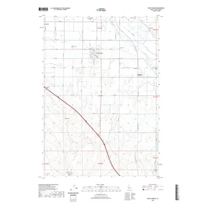 2020 New Plymouth2020 Print · USGSNew Plymouth and the surrounding Payette River valley are shown here in the modern era, dominated by a sophisticated irrigation network. Genealogists and local historians can trace the town’s layout, rural cemeteries like Kennedy Cem, and landmarks such as Hamilton Corner.
 - 2023 Map of New Plymouth, 2023 Print
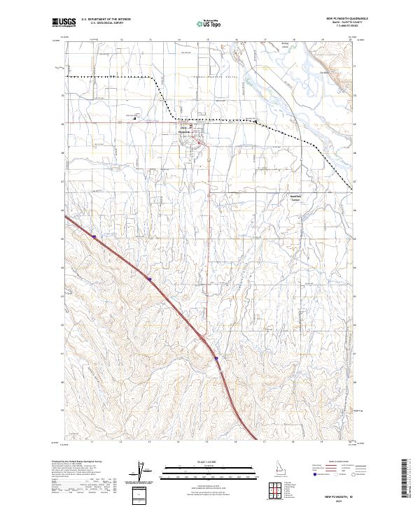 2023 New Plymouth2023 Print · USGSThe agricultural heart of the Payette Valley is mapped here in the early 2020s, showing the intersection of irrigation and settlement. Trace the routes of the Farmers Cooperative Canal and locate family sites near Park View Cem and Hamilton Corner.
End of results
Showing maps 1-11 of 11
Top cities near New Plymouth
- Ontario historical maps
- Payette historical maps
- Fruitland historical maps
- Nyssa historical maps
- Parma historical maps
Frequently asked questions
- What are the different types of historical maps available for New Plymouth?
- What is the oldest map of New Plymouth?
- Where can I purchase historical maps of New Plymouth for my home or office?
- Where can I download high-res historical maps of New Plymouth?
- Are there historical topographic maps available for New Plymouth?
- Is there historical aerial imagery available for New Plymouth?
- Where are historical maps of New Plymouth sourced from?