2000s (21st Century) Maps of Arbon Valley, Idaho
Explore 20 historic maps of Arbon Valley from the 2000s (21st Century). These maps offer a rare glimpse into what life looked like during the 2000s — showing old roads, neighborhoods, homes, and landmarks that have changed or disappeared over time.
Whether you're researching your family's past, planning a metal detecting trip, or studying how Arbon Valley's landscape evolved across the 2000s, these high-resolution maps are a powerful tool for exploring the history of this region.
- Focus on a specific era: All maps on this page are from the 2000s, giving you a focused view of this time period.
- See what’s changed: Compare century-old streets, trails, and buildings to today's modern landscape using overlays and satellite layers.
- Research with precision: Use these maps for genealogy, historical research, land use analysis, or educational projects.
- View, download, or print: Maps are fully viewable online in high resolution, and can be downloaded or printed for your own records.
Start exploring Arbon Valley's history through authentic maps from the 2000s. This is your window into the past.
Arbon Valley, ID maps
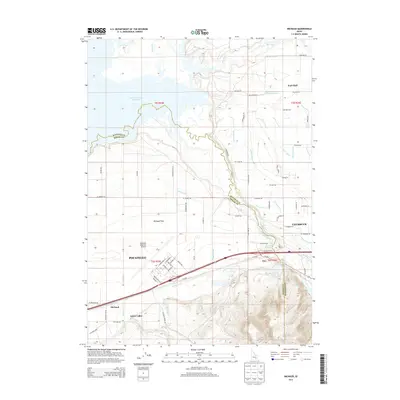
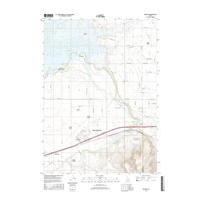
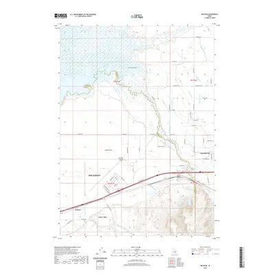
(20)- 2010 Map of Michaud, 2010 Print
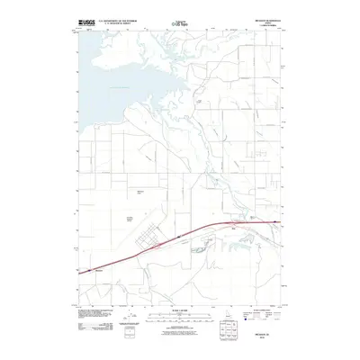 2010 Michaud2010 Print · USGSCovers Arbon Valley, including Pocatello, Fort Hall, and other nearby areas
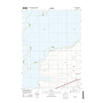
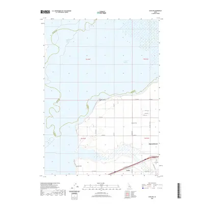
 - 2010 Map of Schiller, 2010 Print
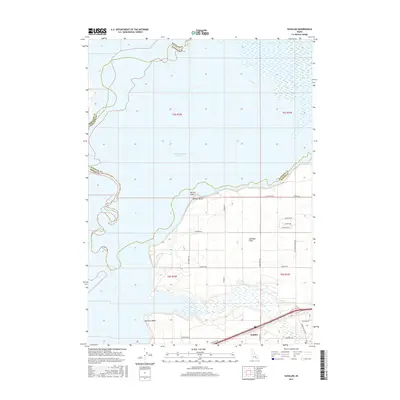
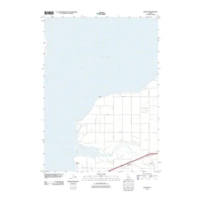 2010 Schiller2010 Print · USGSCovers Arbon Valley, including Pocatello, Bannock County, and other nearby areas
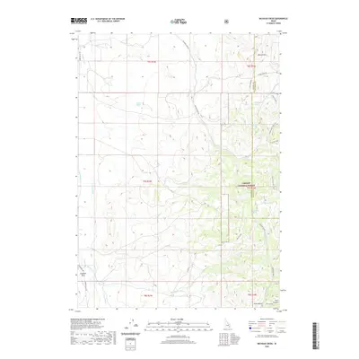
 - 2010 Map of Wheatgrass Bench, 2010 Print
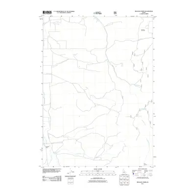
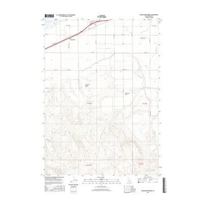
 2010 Wheatgrass Bench2010 Print · USGSCovers Arbon Valley, including Power County, United States, and other nearby areas
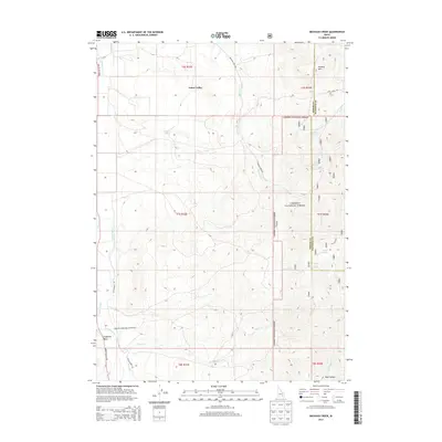
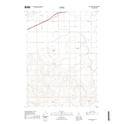
 - 2011 Map of Michaud Creek, 2011 Print
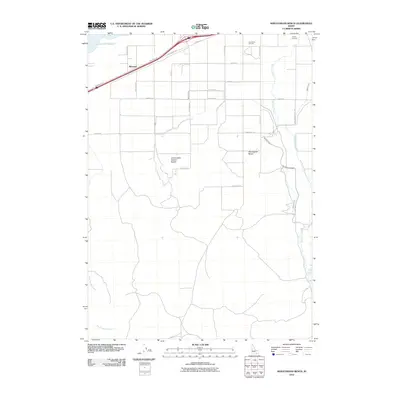
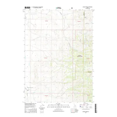
 2011 Michaud Creek2011 Print · USGSCovers Arbon Valley, including Bannock County, Power County, and other nearby areas
 - 2013 Map of Wheatgrass Bench, 2013 Print
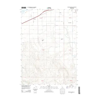 2013 Wheatgrass Bench2013 Print · USGSCovers Arbon Valley, including Power County, United States, and other nearby areas
 - 2013 Map of Michaud, 2013 Print
 2013 Michaud2013 Print · USGSCovers Arbon Valley, including Pocatello, Fort Hall, and other nearby areas
 - 2013 Map of Schiller, 2013 Print
 2013 Schiller2013 Print · USGSCovers Arbon Valley, including Pocatello, Bannock County, and other nearby areas
 - 2013 Map of Michaud Creek, 2013 Print
 2013 Michaud Creek2013 Print · USGSCovers Arbon Valley, including Bannock County, Power County, and other nearby areas
 - 2017 Map of Michaud, 2017 Print
 2017 Michaud2017 Print · USGSCovers Arbon Valley, including Pocatello, Fort Hall, and other nearby areas
 - 2017 Map of Michaud Creek, 2017 Print
 2017 Michaud Creek2017 Print · USGSCovers Arbon Valley, including Bannock County, Power County, and other nearby areas
 - 2017 Map of Schiller, 2017 Print
 2017 Schiller2017 Print · USGSCovers Arbon Valley, including Pocatello, Bannock County, and other nearby areas
 - 2017 Map of Wheatgrass Bench, 2017 Print
 2017 Wheatgrass Bench2017 Print · USGSCovers Arbon Valley, including Power County, United States, and other nearby areas
 - 2020 Map of Michaud, 2020 Print
 2020 Michaud2020 Print · USGSCovers Arbon Valley, including Pocatello, Fort Hall, and other nearby areas
 - 2020 Map of Schiller, 2020 Print
 2020 Schiller2020 Print · USGSCovers Arbon Valley, including Pocatello, Bannock County, and other nearby areas
 - 2020 Map of Michaud Creek, 2020 Print
 2020 Michaud Creek2020 Print · USGSCovers Arbon Valley, including Bannock County, Power County, and other nearby areas
 - 2020 Map of Wheatgrass Bench, 2020 Print
 2020 Wheatgrass Bench2020 Print · USGSCovers Arbon Valley, including Power County, United States, and other nearby areas
 - 2023 Map of Michaud Creek, 2023 Print
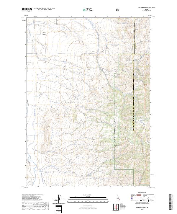 2023 Michaud Creek2023 Print · USGSThe rural expanse of the Idaho high country comes to life in this survey of the Arbon Valley and its surrounding peaks. Researchers can trace the water history of Power Co through the Taghee Canal or explore forest boundaries near Horse Lake and Howard Mtn.
 - 2024 Map of Schiller, 2024 Print
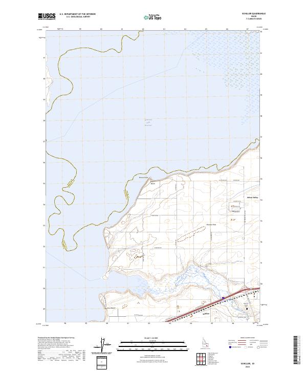 2024 Schiller2024 Print · USGSPower County, Idaho, is documented here in the early twenty-first century as a landscape of irrigation and highland settlement. Researchers can trace local lineage at the Bannock Creek Cem or explore the shoreline developments at Bronco Beach and Schiller.
 - 2024 Map of Michaud, 2024 Print
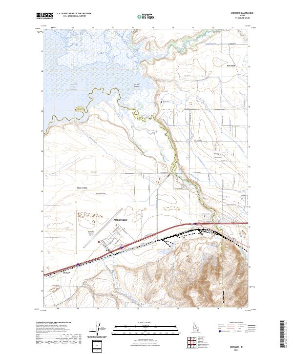 2024 Michaud2024 Print · USGSPower County and the outskirts of Pocatello are captured here in the mid-2020s, showing the vital intersection of the Snake River plain and modern aviation. Researchers can trace the irrigation systems of Taghee Canal and find local landmarks like Cedars Cem and Batiste Springs.
 - 2024 Map of Wheatgrass Bench, 2024 Print
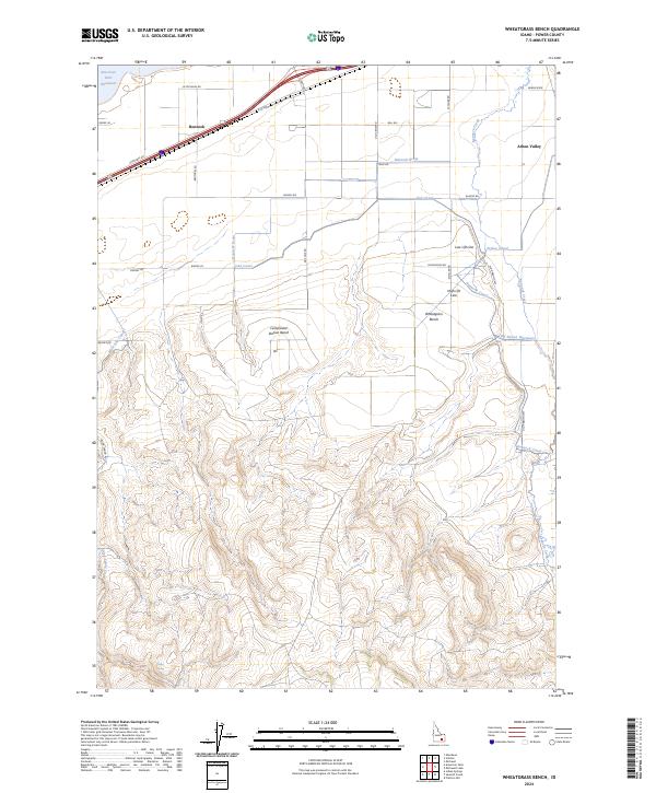 2024 Wheatgrass Bench2024 Print · USGSPower County agriculture and high-bench terrain are documented here in the contemporary era. Trace the path of vital irrigation infrastructure through Arbon Valley and Bannock, including the Big Siphon Wasteway and the extensive Bannock Drain system.
End of results
Showing maps 1-20 of 20
Top cities near Arbon Valley
Frequently asked questions
- What are the different types of historical maps available for Arbon Valley?
- What is the oldest map of Arbon Valley?
- Where can I purchase historical maps of Arbon Valley for my home or office?
- Where can I download high-res historical maps of Arbon Valley?
- Are there historical topographic maps available for Arbon Valley?
- Is there historical aerial imagery available for Arbon Valley?
- Where are historical maps of Arbon Valley sourced from?