Old Maps of Frisco, Idaho for Metal Detecting
Plan your next treasure hunt with 17 historic maps of Frisco. Find old homesites, ghost towns, trails, and gathering spots that may be lost to time — perfect for identifying promising metal detecting locations.
- Locate forgotten sites: Uncover places like long-lost settlements, abandoned rail lines, or gathering spots.
- Plan better hunts: Use map overlays combined with LiDAR or satellite views to narrow in on historically rich areas.
- Made for detectorists: Thousands of hobbyists use these maps to discover relics, coins, and hidden history.
Use these historic maps to boost your research and find new opportunities beneath the surface of Frisco.
Frisco, ID maps
(17)- 1901 Map of Coeur D'Alene District, 1954 Print
 1901 Coeur D'Alene District1954 Print · USGSIdaho's Silver Valley hums with industrial activity at the turn of the century as silver and lead mining reach their peak. Genealogists and historians can trace the deep-vein claims of the Bunker Hill and Sullivan Mine or the narrow-canyon settlements of Burke and Mace.
 - 1903 Map of Coeur D'Alene District
 1903 Coeur D'Alene District1903 Print · USGSThe Silver Valley was at its industrial peak at the start of the century, defined by a dense network of silver and lead operations. Genealogists and historians can trace early rail lines and major works like the Standard Mines, Gem Mine, and the town of Wardner.
 - 1906 Map of Coeur D'Alene District
 1906 Coeur D'Alene District1906 Print · USGSIdaho’s Silver Valley is shown at its industrial peak in the early twentieth century, when mines and railroads saturated these steep canyons. Genealogists and researchers can trace the rail lines to remote mining camps and famous works like the Hecla Mine, Bunker Hill and Sullivan Mines, and Burke.3 unique versions available
 - 1932 Map of Trout Creek, 1955 Print
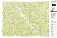
 1932 Trout Creek1955 Print · USGSThe Clark Fork River corridor in the 1930s shows a landscape of mountain rail travel and early forest management. Genealogists and historians can locate rural schools like Ayers School, local industry at Tuscor Mill, and old mining sites such as the Jack White Mine.
 - 1935 Map of Trout Creek, 1949 Print
 1935 Trout Creek1949 Print · USGSThe Clark Fork valley and the mining districts of Shoshone County are caught in high detail in the 1930s. Genealogists and historians can trace rail-side schools like Tuscor Sch, the operations at Jack Waite Mine, and old settlements from Noxon to Mace.
 - 1936 Map of Trout Creek
 1936 Trout Creek1936 Print · USGSThe Clark Fork valley and the Bitterroot mountains are captured here in the mid-1930s, showing a landscape defined by timber and mining. Researchers can trace the industrial footprint of the Tuscor Mill, remote operations like the Jack Waite Mine, and old mountain schools such as Flat Sch.2 unique versions available
 - 1956 Map of Wallace, 1966 Print
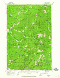
 1956 Wallace1966 Print · USGSWestern Montana and the Idaho panhandle meet in this mid-century survey of the Bitterroot and Cabinet Mountains. Genealogists and historians can trace the rail-and-river economy through the Northern Pacific line and settlements like Thompson Falls or St. Ignatius.3 unique versions available
 - 1957 Map of Burke, 1959 Print
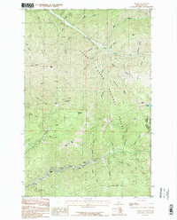
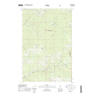
 1957 Burke1959 Print · USGSShoshone County is captured here during the peak of its mid-century mining era, showing the remarkable density of the Silver Valley canyons. Genealogists and historians can trace family roots at Burke and Gem, locate the Beaver School, or identify specific industrial sites like the Tiger-Poorman Mine.2 unique versions available
 - 1960 Map of Wallace
 1960 Wallace1960 Print · USGSNorthwestern Montana and the Idaho panhandle are captured in the late fifties, showing the vast Flathead Indian Reservation and the mining districts of the Bitterroot Range. Researchers can trace the rail lines of the Northern Pacific or locate early sites like the Morning Mine and the National Bison Range.
 - 1985 Map of Burke
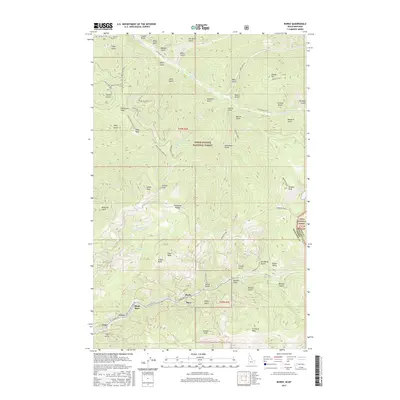
 1985 Burke1985 Print · USGSThe high Canyon Creek corridor of Shoshone County comes alive in the mid-1980s, documenting a landscape where mining life and mountain terrain meet. Researchers can pinpoint historic settlements like Burke, Black Bear, and Gem or trace early extraction sites near Tiger Peak.2 unique versions available
 - 1992 Map of Thompson Falls, 1993 Print
 1992 Thompson Falls1993 Print · USGSNorthwest Montana in the early nineties is defined here by the winding Clark Fork and its major impoundments. Researchers can trace the river-valley settlements of Noxon, Trout Creek, and Thompson Falls or locate mining sites like the Copper King Mine.
 - 1996 Map of Burke, 1999 Print
 1996 Burke1999 Print · USGSThe silver-rich Canyon Creek corridor of Shoshone County is shown here in the late nineties, documenting the dense footprint of Idaho's mining history. Genealogists and historians can trace the foundations of Burke, Mace, and Cornwall alongside major sites like the Hecla Mine and the Standard Mammoth Mine.
 - 2011 Map of Burke, 2011 Print
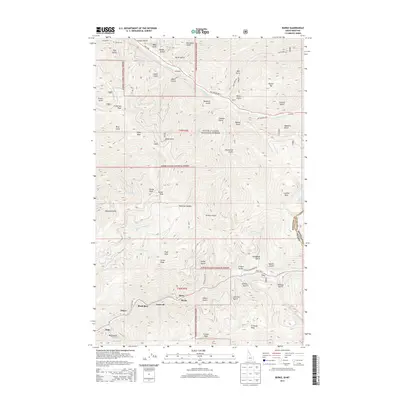
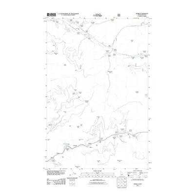 2011 Burke2011 Print · USGSCovers Frisco, including Mace, Gem, and other nearby areas
 - 2013 Map of Burke, 2013 Print
 2013 Burke2013 Print · USGSCovers Frisco, including Mace, Gem, and other nearby areas
 - 2017 Map of Burke, 2017 Print
 2017 Burke2017 Print · USGSCovers Frisco, including Mace, Gem, and other nearby areas
 - 2020 Map of Burke, 2020 Print
 2020 Burke2020 Print · USGSCovers Frisco, including Mace, Gem, and other nearby areas
 - 2024 Map of Burke, 2024 Print
 2024 Burke2024 Print · USGSMining settlements along the Canyon Creek corridor are captured in this recent survey of the Idaho-Montana borderlands. Local researchers can trace the footprint of Burke, Black Bear, and Gem or locate the Murray Cem and trails through the COEUR D'ALENE NATIONAL FOREST.
End of results
Showing maps 1-17 of 17
Top cities near Frisco
Frequently asked questions
- What are the different types of historical maps available for Frisco?
- What is the oldest map of Frisco?
- Where can I purchase historical maps of Frisco for my home or office?
- Where can I download high-res historical maps of Frisco?
- Are there historical topographic maps available for Frisco?
- Is there historical aerial imagery available for Frisco?
- Where are historical maps of Frisco sourced from?