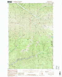
1985 Map of Burke
USGS Topo · Published 1985About this map
Canyon Creek carves a narrow corridor through the high country of the Bitterroot Range, serving as the industrial and residential spine for several mountain settlements. This 1985 survey captures the canyon floor tightly packed with the communities of Burke, Mace, Cornwall, Black Bear, and Frisco, where the proximity of housing to mining infrastructure is a defining characteristic. Numerous Adits and mine workings are marked throughout the terrain, particularly around Gorge Gulch and Tiger Peak, reflecting the area's deep-rooted extraction history within the Coeur d'Alene National Forest.
Find a feature on this map
56 named features on this map. Tap any name to fly to it.
Don’t see what you’re looking for? This feature index may not catch every label — zoom into the map to look around manually.
Map Details
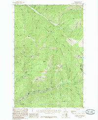
Editions of this 1985 Burke Map
2 editions found
Other maps of this area

1901 · Coeur D'Alene District
USGS Topo · 1:62,500

1903 · Coeur D'Alene District
USGS Topo · 1:62,500

1906 · Coeur D'Alene District
USGS Topo · 1:62,500

1914 · Avery
USGS Topo · 1:125,000

1917 · Avery
USGS Topo · 1:125,000

1932 · Trout Creek
USGS Topo · 1:125,000

1935 · Trout Creek
USGS Topo · 1:125,000

1936 · Trout Creek
USGS Topo · 1:125,000

1956 · Cooper Gulch
USGS Topo · 1:62,500

1956 · Saltese
USGS Topo · 1:62,500