
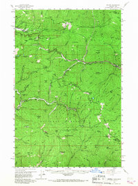
1956 Map of Saltese
USGS Topo · Published 1959About this map
Mining operations and transcontinental rail lines dominate this mid-century survey of the Bitterroot Range along the Montana-Idaho border. The high-altitude landscape is etched with the industrial history of the Coeur d'Alene district, featuring numerous workings such as the Snowstorm Mine, Bullion Mine, and Monitor Mines. Transport corridors are particularly well-defined, showing the paths of the Northern Pacific and the Chicago Milwaukee St Paul and Pacific railroads as they navigate the steep terrain near Taft Summit. The map also preserves the route of the Old Mullan Road, the historic wagon path that preceded these rails. Scattered settlements like Saltese, Taft, and Roland serve as anchors within the steep drainage basins of the St Regis River and Little Joe Creek, providing a detailed view of the region's mid-1950s infrastructure.
Find a feature on this map
122 named features on this map. Tap any name to fly to it.
Don’t see what you’re looking for? This feature index may not catch every label — zoom into the map to look around manually.
Map Details
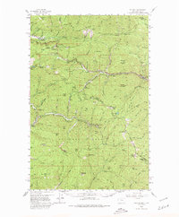
Editions of this 1956 Saltese Map
3 editions found
Other maps of this area

1901 · Coeur D'Alene District
USGS Topo · 1:62,500

1903 · Coeur D'Alene District
USGS Topo · 1:62,500

1906 · Coeur D'Alene District
USGS Topo · 1:62,500

1914 · Avery
USGS Topo · 1:125,000

1917 · Avery
USGS Topo · 1:125,000

1918 · St Regis
USGS Topo · 1:125,000

1919 · St. Regis
USGS Topo · 1:125,000

1932 · Trout Creek
USGS Topo · 1:125,000

1935 · Trout Creek
USGS Topo · 1:125,000

1936 · Trout Creek
USGS Topo · 1:125,000