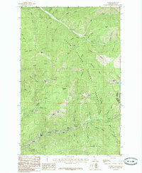
1985 Map of Burke
USGS Topo · Published 1985About this map
Burke, Mace, and Gem sit deep within the narrow corridors of the Coeur d'Alene mining district, representing the concentrated industrial settlement of Shoshone County during the mid-1980s. The landscape is defined by its verticality and the pervasive influence of the silver and lead mining industry, visible in the Tailings deposits along Prichard Creek and the numerous named peaks like Tiger Peak and Custer Peak. This survey captures a specific moment when the traditional mining camps along Canyon Creek remained clearly delineated against the steep slopes of the Coeur d'Alene National Forest. The map traces the rugged divide at the Idaho-Montana border, where high-altitude landmarks such as Tamarack Saddle and Granite Peak overlook the labyrinth of gulches that once fueled the region's mineral wealth.
Find a feature on this map
55 named features on this map. Tap any name to fly to it.
Don’t see what you’re looking for? This feature index may not catch every label — zoom into the map to look around manually.
Map Details
Editions of this 1985 Burke Map
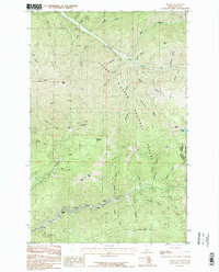
2 editions found
Other maps of this area

1901 · Coeur D'Alene District
USGS Topo · 1:62,500

1903 · Coeur D'Alene District
USGS Topo · 1:62,500

1906 · Coeur D'Alene District
USGS Topo · 1:62,500

1914 · Avery
USGS Topo · 1:125,000

1917 · Avery
USGS Topo · 1:125,000

1932 · Trout Creek
USGS Topo · 1:125,000

1935 · Trout Creek
USGS Topo · 1:125,000

1936 · Trout Creek
USGS Topo · 1:125,000

1956 · Cooper Gulch
USGS Topo · 1:62,500

1956 · Saltese
USGS Topo · 1:62,500