2020s Maps of Driggs, Idaho
Explore 6 historic maps of Driggs from the 2020s. These maps offer a rare glimpse into what life looked like during the 2020s — showing old roads, neighborhoods, homes, and landmarks that have changed or disappeared over time.
Whether you're researching your family's past, planning a metal detecting trip, or studying how Driggs's landscape evolved across the 2020s, these high-resolution maps are a powerful tool for exploring the history of this region.
- Focus on a specific era: All maps on this page are from the 2020s, giving you a focused view of this time period.
- See what’s changed: Compare century-old streets, trails, and buildings to today's modern landscape using overlays and satellite layers.
- Research with precision: Use these maps for genealogy, historical research, land use analysis, or educational projects.
- View, download, or print: Maps are fully viewable online in high resolution, and can be downloaded or printed for your own records.
Start exploring Driggs's history through authentic maps from the 2020s. This is your window into the past.
Driggs, ID maps
(6)- 2020 Map of Bates, 2020 Print
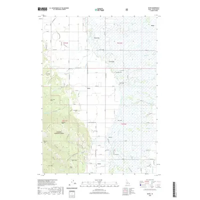 2020 Bates2020 Print · USGSCovers Driggs, including Teton County, United States, and other nearby areas
 - 2020 Map of Clawson, 2020 Print
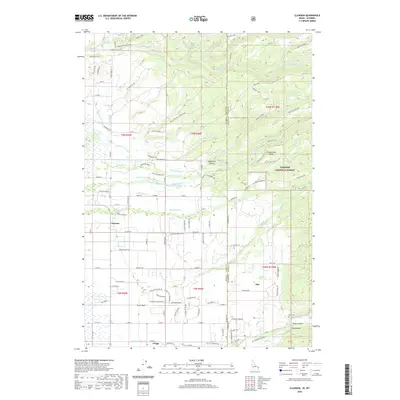 2020 Clawson2020 Print · USGSCovers Driggs, including Alta, Teton County, and other nearby areas
 - 2020 Map of Driggs, 2020 Print
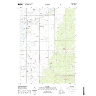 2020 Driggs2020 Print · USGSCovers Driggs, including Teton County, Teton County, and other nearby areas
 - 2023 Map of Bates, 2023 Print
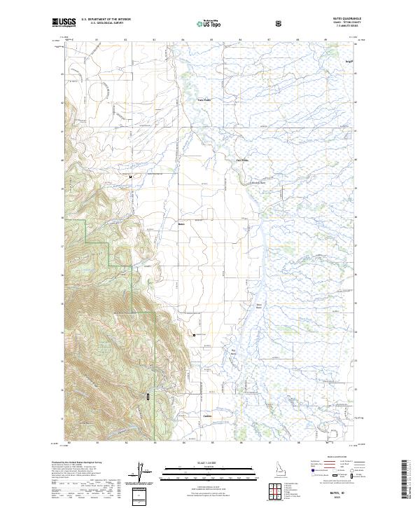 2023 Bates2023 Print · USGSThe Teton Basin's agricultural and forest lands are captured in this contemporary Idaho survey. You can trace family history at Bates Cem and Cedron Cem, or explore the riparian landscape around Rainbow Bend and Lizard Lake.
 - 2023 Map of Driggs, 2023 Print
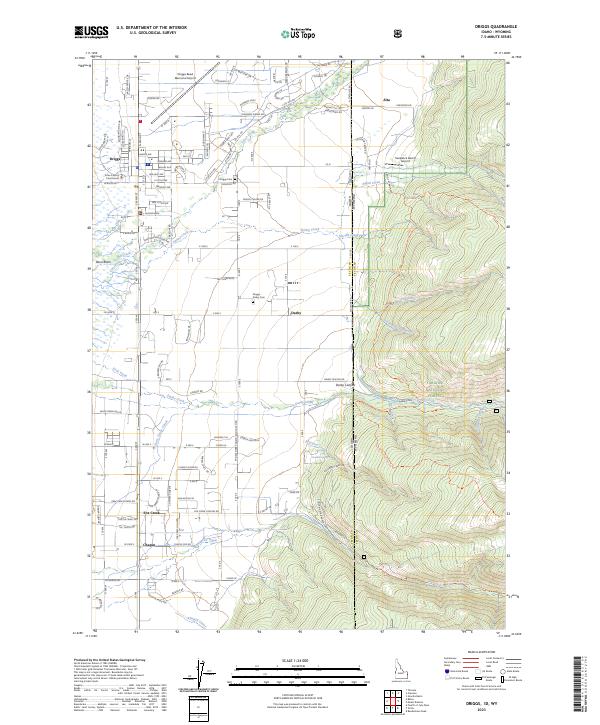 2023 Driggs2023 Print · USGSThe Teton Basin comes alive in this recent survey of the Idaho-Wyoming borderlands as the valley floor meets the high peaks. Genealogists and local historians can trace the streets of Driggs, locate the Teton County Courthouse, and find family plots at Driggs - Darby Cem.
 - 2024 Map of Clawson, 2024 Print
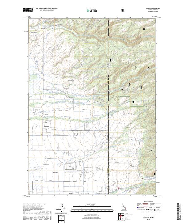 2024 Clawson2024 Print · USGSThe Idaho-Wyoming borderlands near Clawson and Driggs are captured here in a moment of continued agricultural tradition and mountain expansion. Researchers can trace historic water rights through the Haden Canal and Kilpack Canal or locate the Pratt Cem.
End of results
Showing maps 1-6 of 6
Top cities near Driggs
Frequently asked questions
- What are the different types of historical maps available for Driggs?
- What is the oldest map of Driggs?
- Where can I purchase historical maps of Driggs for my home or office?
- Where can I download high-res historical maps of Driggs?
- Are there historical topographic maps available for Driggs?
- Is there historical aerial imagery available for Driggs?
- Where are historical maps of Driggs sourced from?