2000s (21st Century) Maps of Castleford, Idaho
Explore 10 historic maps of Castleford from the 2000s (21st Century). These maps offer a rare glimpse into what life looked like during the 2000s — showing old roads, neighborhoods, homes, and landmarks that have changed or disappeared over time.
Whether you're researching your family's past, planning a metal detecting trip, or studying how Castleford's landscape evolved across the 2000s, these high-resolution maps are a powerful tool for exploring the history of this region.
- Focus on a specific era: All maps on this page are from the 2000s, giving you a focused view of this time period.
- See what’s changed: Compare century-old streets, trails, and buildings to today's modern landscape using overlays and satellite layers.
- Research with precision: Use these maps for genealogy, historical research, land use analysis, or educational projects.
- View, download, or print: Maps are fully viewable online in high resolution, and can be downloaded or printed for your own records.
Start exploring Castleford's history through authentic maps from the 2000s. This is your window into the past.
Castleford, ID maps
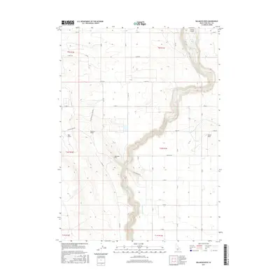
(10)- 2010 Map of Balanced Rock, 2010 Print
 2010 Balanced Rock2010 Print · USGSCovers Castleford, including Twin Falls County, United States, and other nearby areas
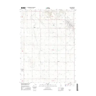
 - 2010 Map of Buhl, 2010 Print
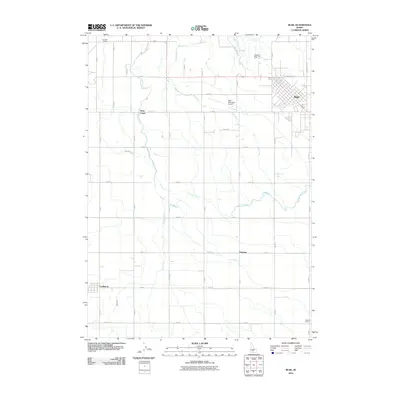 2010 Buhl2010 Print · USGSCovers Castleford, including Buhl, Twin Falls County, and other nearby areas
 - 2013 Map of Buhl, 2013 Print
 2013 Buhl2013 Print · USGSCovers Castleford, including Buhl, Twin Falls County, and other nearby areas
 - 2013 Map of Balanced Rock, 2013 Print
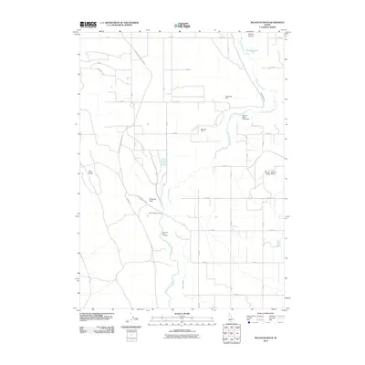
 2013 Balanced Rock2013 Print · USGSCovers Castleford, including Twin Falls County, United States, and other nearby areas
 - 2017 Map of Balanced Rock, 2017 Print
 2017 Balanced Rock2017 Print · USGSCovers Castleford, including Twin Falls County, United States, and other nearby areas
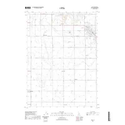
 - 2017 Map of Buhl, 2017 Print
 2017 Buhl2017 Print · USGSCovers Castleford, including Buhl, Twin Falls County, and other nearby areas
 - 2020 Map of Balanced Rock, 2020 Print
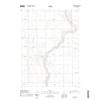 2020 Balanced Rock2020 Print · USGSCovers Castleford, including Twin Falls County, United States, and other nearby areas
 - 2020 Map of Buhl, 2020 Print
 2020 Buhl2020 Print · USGSCovers Castleford, including Buhl, Twin Falls County, and other nearby areas
 - 2023 Map of Buhl, 2023 Print
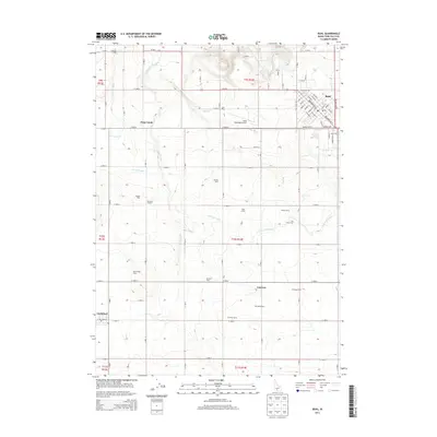
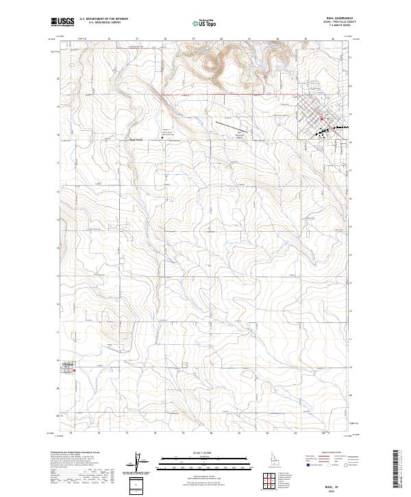 2023 Buhl2023 Print · USGSIdaho's agricultural heartland is captured in this recent survey of Twin Falls County, where irrigation and rugged creek beds meet. Researchers can trace rural landmarks like the Mennonite Cem and Castleford, or locate the Buhl Municipal Airport.
 - 2024 Map of Balanced Rock, 2024 Print
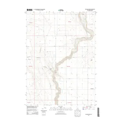
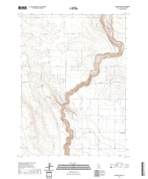 2024 Balanced Rock2024 Print · USGSTwin Falls County is documented in the mid-2020s as a landscape where high desert geology meets modern irrigation. Researchers can trace the path of Salmon Falls Creek through Sinking Canyon or locate the settlement of Castleford.
End of results
Showing maps 1-10 of 10
Top cities near Castleford
Frequently asked questions
- What are the different types of historical maps available for Castleford?
- What is the oldest map of Castleford?
- Where can I purchase historical maps of Castleford for my home or office?
- Where can I download high-res historical maps of Castleford?
- Are there historical topographic maps available for Castleford?
- Is there historical aerial imagery available for Castleford?
- Where are historical maps of Castleford sourced from?