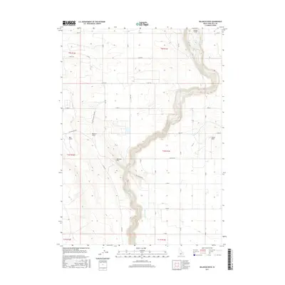
2017 Map of Balanced Rock
USGS Topo · Published 2017About this map
Salmon Falls Creek carves a deep, winding path through this corner of Twin Falls County, serving as the dominant geographic feature in an arid landscape defined by the Bruneau Desert. The namesake Balanced Rock stands as a geological landmark near the creek's canyon walls, while the surrounding high plains are etched with an organized grid of county roads and vital irrigation infrastructure. The transition from the dry plateau to the riparian corridor is sharp, marked by landmarks like Sinking Canyon and Sunset Butte.
Find a feature on this map
40 named features on this map. Tap any name to fly to it.
Don’t see what you’re looking for? This feature index may not catch every label — zoom into the map to look around manually.
Map Details
Editions of this 2017 Balanced Rock Map
This is the sole edition of this map. No revisions or reprints were ever made.
Other maps of this area

1949 · Thousand Springs
USGS Topo · 1:24,000

1951 · Thousand Springs
USGS Topo · 1:24,000

1954 · Thousand Springs
USGS Topo · 1:24,000

1955 · Twin Falls
USGS Topo · 1:250,000

1958 · Twin Falls
USGS Topo · 1:250,000

1958 · Buhl
USGS Topo · 1:24,000

1959 · Buhl
USGS Topo · 1:62,500

1959 · Crows Nest
USGS Topo · 1:62,500

1965 · Roseworth NE
USGS Topo · 1:24,000

1965 · Tuanna Butte
USGS Topo · 1:24,000