
1958 Map of Buhl
USGS Topo · Published 1960About this map
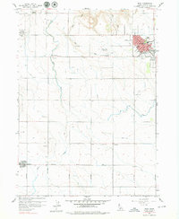
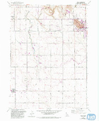
Agricultural development and civic expansion define the landscape around Buhl in the late 1950s. The town site is densely detailed with municipal landmarks including City Hall, the Idaho National Guard Armory, and the Buhl School campus. On the periphery, social hubs like Lucerne Grange and a Drive-in Theater reflect the era's community life. The reliance on water management is evident in the path of the Low Line Canal and the various unnamed irrigation ditches that crisscross the terrain to support the region's farms. To the south, the smaller settlements of Castleford and Fairview anchor the rural sections of the map, connected by a network of local routes such as Castleford Road. The Pacific Union railroad serves as the primary industrial artery, while the presence of the Buhl Municipal Airport and a Military Reservation rifle range suggest a diverse mix of land use at mid-century.
Find a feature on this map
29 named features on this map. Tap any name to fly to it.
Don’t see what you’re looking for? This feature index may not catch every label — zoom into the map to look around manually.
Map Details
Editions of this 1958 Buhl Map
3 editions found
Other maps of this area

1949 · Thousand Springs
USGS Topo · 1:24,000

1950 · Niagara Springs
USGS Topo · 1:24,000

1950 · Jerome
USGS Topo · 1:62,500

1951 · Thousand Springs
USGS Topo · 1:24,000

1951 · Clover
USGS Topo · 1:24,000

1954 · Thousand Springs
USGS Topo · 1:24,000

1955 · Twin Falls
USGS Topo · 1:250,000

1958 · Twin Falls
USGS Topo · 1:250,000

1959 · Buhl
USGS Topo · 1:62,500

1965 · Roseworth NE
USGS Topo · 1:24,000