1900s (20th Century) Maps of Weiser, Idaho
Explore 9 historic maps of Weiser from the 1900s (20th Century). These maps offer a rare glimpse into what life looked like during the 1900s — showing old roads, neighborhoods, homes, and landmarks that have changed or disappeared over time.
Whether you're researching your family's past, planning a metal detecting trip, or studying how Weiser's landscape evolved across the 1900s, these high-resolution maps are a powerful tool for exploring the history of this region.
- Focus on a specific era: All maps on this page are from the 1900s, giving you a focused view of this time period.
- See what’s changed: Compare century-old streets, trails, and buildings to today's modern landscape using overlays and satellite layers.
- Research with precision: Use these maps for genealogy, historical research, land use analysis, or educational projects.
- View, download, or print: Maps are fully viewable online in high resolution, and can be downloaded or printed for your own records.
Start exploring Weiser's history through authentic maps from the 1900s. This is your window into the past.
Weiser, ID maps
(9)- 1951 Map of Weiser South, 1971 Print
 1951 Weiser South1971 Print · USGSThe borderlands of Idaho and Oregon come alive in this mid-century survey of the Snake River valley. Local historians can trace the transition of rural education and irrigation through Eastside Sch, Annex Cem, and the extensive Hyline Ditch network.2 unique versions available
 - 1953 Map of Mann Creek, 1955 Print
 1953 Mann Creek1955 Print · USGSThe agricultural valleys of Washington County come alive in this early 1950s survey of the river country near Weiser. Genealogists can trace a network of rural schoolhouses and landmarks including Saling Sch, Mann Creek Cem, and the Union Pacific Railroad.2 unique versions available
 - 1955 Map of Baker, 1964 Print
 1955 Baker1964 Print · USGSThe Oregon-Idaho borderlands are captured here in the mid-fifties as the Snake River underwent massive changes from dam construction. Trace the Oregon Trail Memorial Monument near Baker, find early mines like Virtue Mine, and follow the Union Pacific Railroad through Huntington.4 unique versions available
 - 1959 Map of Baker
 1959 Baker1959 Print · USGSThe Oregon and Idaho borderlands come alive in the late fifties, showing the rugged corridor along the Snake River and the high peaks of the Wallowa Mountains. Researchers can trace the legacy of the Union Pacific railroad or locate historic mining sites like the Flagstaff Mine and Virtue Mine.2 unique versions available
 - 1974 Map of Weiser South, 1975 Print
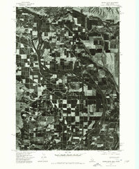 1974 Weiser South1975 Print · USGSThe borderlands of the Northwest are captured in the mid-1970s, showcasing the fertile agricultural flats along the Snake River. Researchers can study the industrial and residential development of Weiser and trace irrigation patterns across the valley floor.
 - 1974 Map of Mann Creek SW, 1975 Print
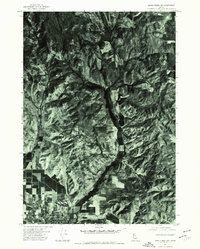 1974 Mann Creek SW1975 Print · USGSWeiser and the surrounding Idaho countryside are shown as they appeared in the mid-seventies, captured through high-altitude aerial photography. Trace the property lines and farmsteads along Jenkins Creek or the natural terrain around Sagebrush Hill.
 - 1980 Map of Weiser, 1993 Print
 1980 Weiser1993 Print · USGSThe Snake River valley and the foothills of the Boise Mountains are captured here in the 1980s, showing the vital rail and water infrastructure of the region. Researchers can trace the Union Pacific line through Payette or locate rural landmarks like Hog Cove Butte and Wilburn Butte.
 - 1987 Map of Weiser North
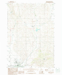 1987 Weiser North1987 Print · USGSWeiser's northern fringe and the surrounding high desert are captured here in the late eighties as the town meets the agriculture of the Snake River valley. Researchers can trace the local infrastructure from the Rodeo Grounds and Union Pacific tracks to landmarks like Devils Elbow and Barton Reservoir.
 - 1998 Map of Weiser South, 2002 Print
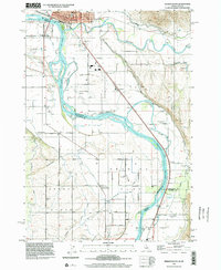 1998 Weiser South2002 Print · USGSThe Idaho-Oregon border along the Snake River is captured here during the late nineties, showcasing the irrigation and rail networks of the Oregon Slope. Researchers can locate several inactive rural schools like Ammondo Sch and civic hubs like Hyline Hall.
End of results
Showing maps 1-9 of 9
Top cities near Weiser
Frequently asked questions
- What are the different types of historical maps available for Weiser?
- What is the oldest map of Weiser?
- Where can I purchase historical maps of Weiser for my home or office?
- Where can I download high-res historical maps of Weiser?
- Are there historical topographic maps available for Weiser?
- Is there historical aerial imagery available for Weiser?
- Where are historical maps of Weiser sourced from?