Old Maps of Camp Point, Illinois for Genealogy
Trace your family roots with 13 historic maps of Camp Point. These high-res maps reveal old neighborhoods, homesites, landmarks, and streets — helping you uncover where your ancestors lived and how the area evolved over time.
- Explore historic neighborhoods: Identify where your relatives may have lived in the 1800s or 1900s.
- Compare maps over time: Trace the changes in streets, buildings, and landmarks for multi-generational research.
- Perfect for genealogy & ancestry research: Used by family historians and researchers to map out lineage and migration.
These maps are an incredible resource for exploring your personal connection to Camp Point's past.
Camp Point, IL maps
(13)- 1948 Map of Camp Point
 1948 Camp Point1948 Print · USGSWestern Illinois farm country thrives in the late 1940s, marked by a dense grid of township roads and early rail connections. Genealogists can locate dozens of country schools and burial grounds, from Lone Star Sch to the Friedhof Cem and Bowen Cem.2 unique versions available
 - 1958 Map of Burlington, 1968 Print
 1958 Burlington1968 Print · USGSThe tri-state river country of Iowa, Illinois, and Missouri is captured here in the mid-fifties, dominated by the Mississippi River and major rail lines. Genealogists and historians can trace the development of river towns like Keokuk or locate the sprawling Iowa Army Ammunition Plant.4 unique versions available
 - 1961 Map of Burlington
 1961 Burlington1961 Print · USGSThe tri-state borderlands along the Mississippi River are captured here during the late fifties and early sixties, showing the vital river-and-rail economy of Iowa, Illinois, and Missouri. Genealogists and historians can trace the development of major hubs like Galesburg and Macomb alongside landmark sites such as the Iowa Ordnance Plant and the historic river town of Nauvoo.
 - 1963 Map of Burlington
 1963 Burlington1963 Print · USGSThe tri-state river country of the Mississippi and Illinois valleys comes alive in this mid-century survey. Genealogists and historians can trace the industrial and academic growth of the region, from the Iowa Ordnance Plant to campuses like Knox College and Western Illinois University.
 - 1981 Map of Camp Point
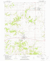 1981 Camp Point1981 Print · USGSEastern Adams County in the early eighties shows a landscape shaped by agricultural traditions and the Burlington Northern rail line. Genealogists and local historians can trace family roots through Evergreen Cem, Yorkneck Cem, and the rural community of Golden.
 - 1986 Map of Keokuk
 1986 Keokuk1986 Print · USGSThe tri-state junction of Iowa, Illinois, and Missouri comes alive in the mid-eighties as a hub of river commerce and rail transit. Researchers can trace family roots through Moss Ridge Cemetery or study industrial landmarks like the Keokuk Dam and Lock and Dam No 19.2 unique versions available
 - 1990 Map of Burlington
 1990 Burlington1990 Print · USGSThe tri-state confluence of Iowa, Illinois, and Missouri is mapped here at the end of the twentieth century. Genealogists and historians can trace the riverfront heritage of Burlington, Keokuk, and Fort Madison, or locate sites like the Battle of Athens State Historic Site.2 unique versions available
 - 1994 Map of Camp Point, 1998 Print
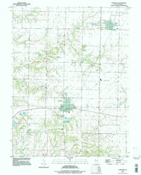 1994 Camp Point1998 Print · USGSMid-century Adams County comes into focus through this detailed survey of the villages and townships in the 1990s. Researchers can locate numerous family burial sites at Evergreen Cem, Friedhof Cem, and Wallace Cem or trace the rural creek systems.
 - 2012 Map of Camp Point, 2012 Print
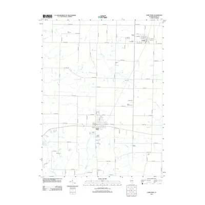 2012 Camp Point2012 Print · USGSThe rural landscape of Adams County comes into focus in this early 21st-century study of the area between Golden and Camp Point. Genealogists can locate several local burial grounds including Evergreen Cem and the small Wilkes Cem tucked away near E 2100th St.
 - 2015 Map of Camp Point, 2015 Print
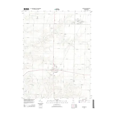 2015 Camp Point2015 Print · USGSAdams County’s farming heartland and rural cemetery network are recorded here in the mid-2010s. Researchers can trace family history through sites like York Neck Cem and Evergreen Cem or explore the village layouts of Golden and Camp Point.
 - 2018 Map of Camp Point, 2018 Print
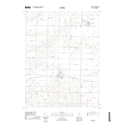 2018 Camp Point2018 Print · USGSThe townships of Golden and Camp Point are captured here in the late 2010s, amidst a landscape defined by an intricate network of creeks and prairie roads. Researchers can locate numerous local burial grounds including Evergreen Cem, Hebron Cem, and the Lutheran Friedhof Cem.
 - 2021 Map of Camp Point, 2021 Print
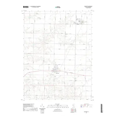 2021 Camp Point2021 Print · USGSAdams County at the start of the 2020s shows a landscape of enduring rural settlements and family-named homesteads. Genealogists can trace decades of local history through numerous sites like York Neck Cem, Wilkes Cem, and the Evergreen Cem.
 - 2024 Map of Camp Point, 2024 Print
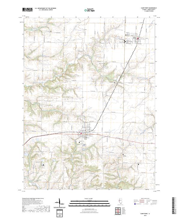 2024 Camp Point2024 Print · USGSEastern Adams County is captured in this modern survey of its sprawling family farms and historic burial sites. Genealogists can trace local heritage through numerous landmarks like Golden Community Cem and Mausoleum, Evergreen Cem, and Friedhof Cem.
End of results
Showing maps 1-13 of 13
Top cities near Camp Point
- Payson historical maps
- Mendon historical maps
- Clayton historical maps
- Burton historical maps
- Chili historical maps
- Augusta historical maps
See more
Frequently asked questions
- What are the different types of historical maps available for Camp Point?
- What is the oldest map of Camp Point?
- Where can I purchase historical maps of Camp Point for my home or office?
- Where can I download high-res historical maps of Camp Point?
- Are there historical topographic maps available for Camp Point?
- Is there historical aerial imagery available for Camp Point?
- Where are historical maps of Camp Point sourced from?