Old Maps of Hillside Manor, Quincy for Academic Research
Study the evolution of Hillside Manor with 20 high-resolution historic maps. Whether you're teaching, researching, or modeling changes in land use, these maps provide essential visual documentation of urban, environmental, and geographic change.
- Analyze long-term change: Track patterns in development, transportation, and natural features.
- Ideal for environmental or urban studies: Support academic projects with primary historical map data.
- Use in the classroom or lab: Educators and researchers rely on these maps to bring historical context to life.
These maps are a powerful tool for teaching, research, and visualizing how Hillside Manor has changed over the decades.
Hillside Manor, Quincy maps
(20)- 1925 Map of Quincy
 1925 Quincy1925 Print · USGSQuincy and its Mississippi River hinterlands are captured in the mid-1920s, showing a landscape defined by river navigation and rail transport. Genealogists can locate dozens of country schools and churches, from St Ludgerus School to Zion Church and the Soldiers Home.2 unique versions available
 - 1944 Map of Quincy, 1954 Print
 1944 Quincy1954 Print · USGSQuincy and the Mississippi River valley are captured in the 1940s, showing a landscape defined by rail lines and rural parish schools. Researchers can trace the riverfront at Marion City, the grounds of the Soldiers Home, and historic sites like Zion Church.5 unique versions available
 - 1945 Map of Quincy
 1945 Quincy1945 Print · USGSQuincy and its Mississippi River crossings are captured here in the mid-1940s during a period of transition for its riverfront and rail lines. Genealogists can trace family roots at local landmarks like the Soldiers Home, Melrose Chapel, and numerous rural schoolhouses such as Hickory Grove School.2 unique versions available
 - 1948 Map of Quincy
 1948 Quincy1948 Print · USGSThe Mississippi and Illinois River valleys are captured at a post-war crossroads as rail and river travel met the expanding highway system. Genealogists can trace family settlements from Quincy to Hannibal and smaller towns like Vandalia and Jerseyville.2 unique versions available
 - 1956 Map of Quincy, 1967 Print
 1956 Quincy1967 Print · USGSThe river and rail corridors of the Illinois-Missouri border are documented here during the mid-1950s. Researchers can trace historic river landings and regional transit hubs from Quincy and Hannibal to smaller settlements like Meredosia and Roodhouse.3 unique versions available
 - 1971 Map of Quincy East, 1973 Print
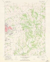 1971 Quincy East1973 Print · USGSEastern Quincy and the surrounding Adams County townships are captured here in the early seventies as the city grid pushed toward the rural prairie. Genealogists can locate several family burial grounds including Powell Cem and Eeds Cem, alongside landmarks like Melrose Chapel and Hickory Grove.2 unique versions available
 - 1971 Map of Quincy West, 1973 Print
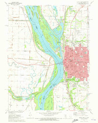 1971 Quincy West1973 Print · USGSThe riverfront city of Quincy is shown in the early seventies, at the height of its mid-century industrial and civic development. Researchers can trace local institutions and family names at Woodland Cem, Quincy College, and the Illinois Soldiers and Sailors Home.
 - 1986 Map of Quincy
 1986 Quincy1986 Print · USGSThe tri-state border region along the Mississippi River comes into focus during the mid-1980s. Researchers can trace the legacy of river towns and rail hubs like Quincy and Monroe City or locate landmarks such as Mount Olive Cem.2 unique versions available
 - 1995 Map of Quincy East, 1998 Print
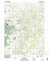 1995 Quincy East1998 Print · USGSThe eastern edges of Quincy and the rural outskirts of Adams County are shown here during a period of late-century expansion. Genealogists can trace family names across a high density of burial grounds like National Cem, Powell Cem, and the historic Melrose Chapel.
 - 1996 Map of Quincy West, 1997 Print
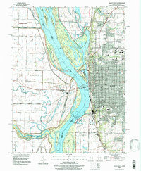 1996 Quincy West1997 Print · USGSThe riverfront at Quincy and the Illinois-Missouri border are captured here in the mid-1990s as the city expands along the eastern bluffs. Researchers can trace the river's complex island system, industrial mines, and local landmarks like St Boniface Cem and the Quincy Mem Bridge.
 - 2012 Map of Quincy West, 2012 Print
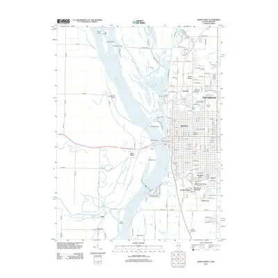 2012 Quincy West2012 Print · USGSThe riverfront of Quincy and its Missouri neighbors are documented here in the early twenty-first century as the city expands across the bluffs. Researchers can trace family history at Woodland Cem or locate river landmarks like Bullians Landing and Lock and Dam No 21.
 - 2012 Map of Quincy East, 2012 Print
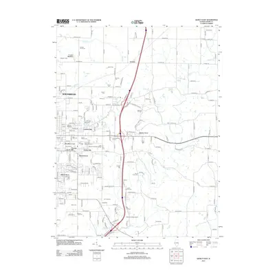 2012 Quincy East2012 Print · USGSThe eastern suburbs of Quincy and rural Adams County are captured here during a period of steady residential growth and institutional expansion. Genealogists can trace numerous burial sites including Quincy National Cem, Saint Peters Cem, and the Ellington Church Cem.
 - 2015 Map of Quincy East, 2015 Print
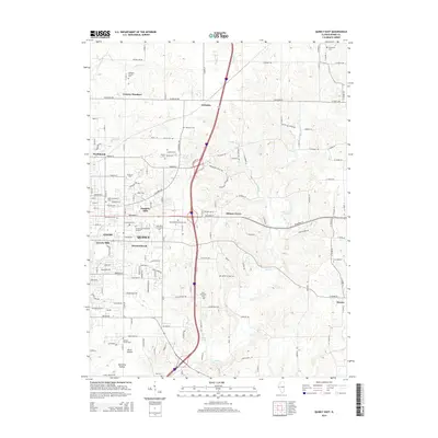 2015 Quincy East2015 Print · USGSThe eastern edges of Quincy and the surrounding Adams County countryside are captured here in the mid-2010s. Researchers can trace numerous local burial sites and landmarks like Evergreen Cem, Saint Anthonys Church, and the John Wood Community College.
 - 2015 Map of Quincy West, 2015 Print
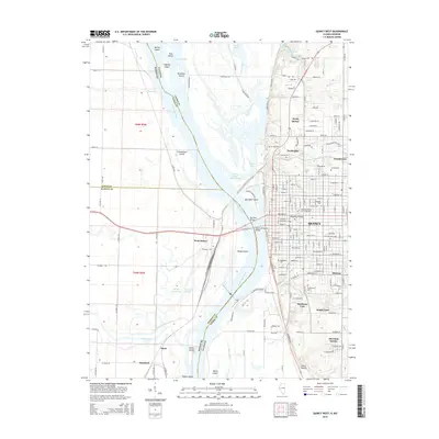 2015 Quincy West2015 Print · USGSThe riverfront at Quincy is captured here in the mid-2010s, showing the city's expansion alongside the intricate islands and chutes of the Mississippi. Researchers can trace local landmarks like Quincy University or locate family plots in Calvary Cemetery and Greenmount Cemetery.
 - 2018 Map of Quincy East, 2018 Print
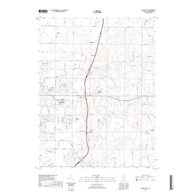 2018 Quincy East2018 Print · USGSThe eastern outskirts of Quincy are shown here in the late twenty-tens as suburban growth meets rural Adams County. Researchers can trace numerous local burial grounds including Ellington Church Cem and Evergreen Cem, or locate the campuses of Vatterott College and John Wood Community College.
 - 2018 Map of Quincy West, 2018 Print
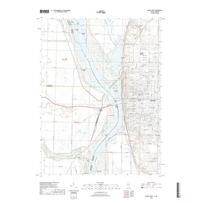 2018 Quincy West2018 Print · USGSThe riverfront city of Quincy is captured here during the late 2010s, showing its vital bridges and historic institutions overlooking the Mississippi River. Researchers can locate legacy sites like Quincy Univ, Saint Boniface Cem, and the various islands of the Missouri bottomlands.
 - 2021 Map of Quincy West, 2021 Print
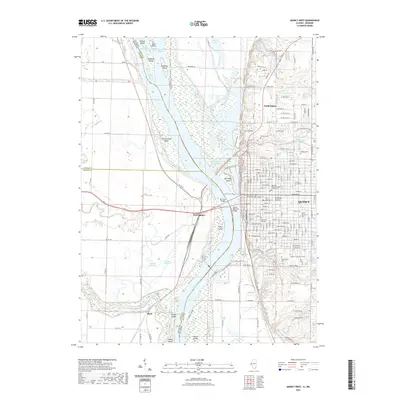 2021 Quincy West2021 Print · USGSThe Mississippi River divides Illinois and Missouri in this 2021 study of a historic river port and its industrial crossings. Researchers can trace urban genealogy through the Adams County Courthouse or local burial sites like Woodland Cem and Calvary Cem.
 - 2021 Map of Quincy East, 2021 Print
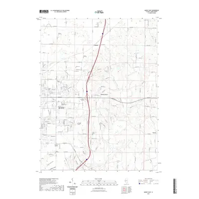 2021 Quincy East2021 Print · USGSQuincy and its eastern outskirts are captured in this contemporary record of Adams County development and rural preservation. Genealogists and historians can locate numerous family burial grounds like the Voorhees Family Cemetery and small communities such as Ewbanks or Hickory Grove.
 - 2024 Map of Quincy East, 2024 Print
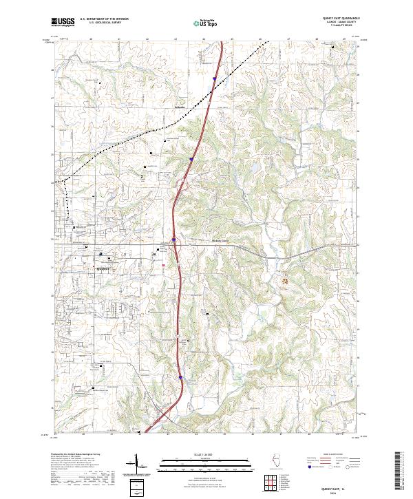 2024 Quincy East2024 Print · USGSQuincy and its eastern Adams County suburbs are documented here in the early twenty-first century, showing a mix of growing residential districts and established rural hamlets. Family historians can trace numerous sites including the Quincy National Cem, Voorhees Family Cem, and Ellington Church.
 - 2024 Map of Quincy West, 2024 Print
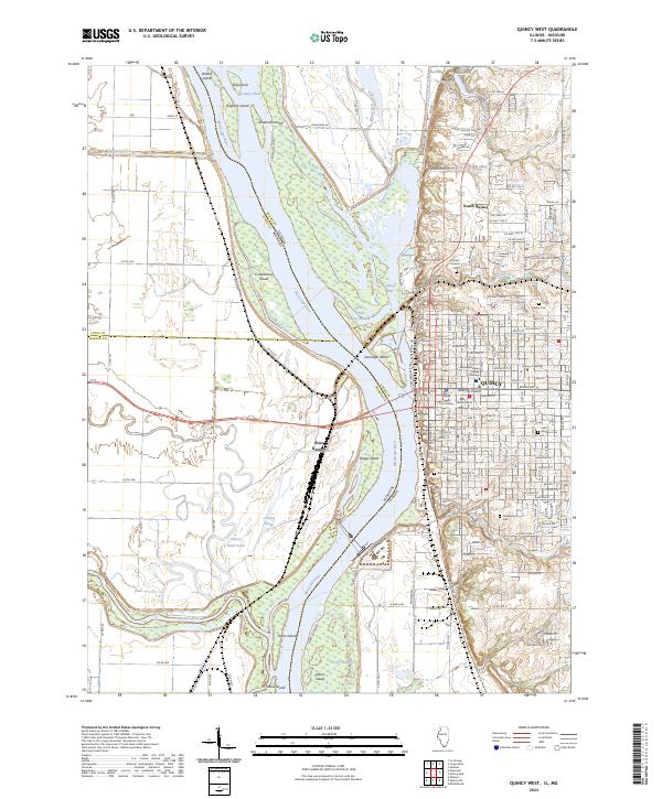 2024 Quincy West2024 Print · USGSQuincy and the Mississippi River bluffs are documented here during the mid-2020s, showing the intersection of urban growth and river conservation. Researchers can locate civic landmarks like the Adams County Courthouse or trace historic burial grounds such as Woodland Cem and Sunset Veterans Cem.
End of results
Showing maps 1-20 of 20
Frequently asked questions
- What are the different types of historical maps available for Hillside Manor?
- What is the oldest map of Hillside Manor?
- Where can I purchase historical maps of Hillside Manor for my home or office?
- Where can I download high-res historical maps of Hillside Manor?
- Are there historical topographic maps available for Hillside Manor?
- Is there historical aerial imagery available for Hillside Manor?
- Where are historical maps of Hillside Manor sourced from?