Old Maps of Mozier Landing, Illinois for Metal Detecting
Plan your next treasure hunt with 12 historic maps of Mozier Landing. Find old homesites, ghost towns, trails, and gathering spots that may be lost to time — perfect for identifying promising metal detecting locations.
- Locate forgotten sites: Uncover places like long-lost settlements, abandoned rail lines, or gathering spots.
- Plan better hunts: Use map overlays combined with LiDAR or satellite views to narrow in on historically rich areas.
- Made for detectorists: Thousands of hobbyists use these maps to discover relics, coins, and hidden history.
Use these historic maps to boost your research and find new opportunities beneath the surface of Mozier Landing.
Mozier Landing, IL maps
(12)- 1930 Map of Pearl
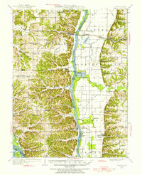
 1930 Pearl1930 Print · USGSThe Illinois River valley in the late 1920s shows a landscape of river-bottom farms and rugged bluff-top settlements. Genealogists can locate family landmarks like Miller Cem, Farmers Ridge Ch, and schools such as Summit Grove Sch or Village Green Sch.3 unique versions available
 - 1948 Map of Quincy
 1948 Quincy1948 Print · USGSThe Mississippi and Illinois River valleys are captured at a post-war crossroads as rail and river travel met the expanding highway system. Genealogists can trace family settlements from Quincy to Hannibal and smaller towns like Vandalia and Jerseyville.2 unique versions available
 - 1950 Map of Pearl, 1956 Print
 1950 Pearl1956 Print · USGSThe Illinois River valley in the mid-1950s reveals a landscape of river-bottom farms and bluff-side settlements. Local researchers can trace family roots through numerous rural landmarks like Farmers Ridge Ch, Miller Cem, and Robley Sch.
 - 1956 Map of Quincy, 1967 Print
 1956 Quincy1967 Print · USGSThe river and rail corridors of the Illinois-Missouri border are documented here during the mid-1950s. Researchers can trace historic river landings and regional transit hubs from Quincy and Hannibal to smaller settlements like Meredosia and Roodhouse.3 unique versions available
 - 1978 Map of Pleasant Dale Valley
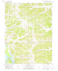 1978 Pleasant Dale Valley1978 Print · USGSThe Illinois river bluffs and Mississippi bottomlands come alive in the late seventies, showing a landscape defined by deep hollows and river islands. Genealogists can locate family names at Hillcrest Cemetery and Spear Cemetery or trace the rural reach of Mozier Landing.
 - 1985 Map of Jerseyville
 1985 Jerseyville1985 Print · USGSThe confluence of the Illinois and Mississippi rivers defines this 1980s landscape of fertile bottomlands and rail-hub towns. Genealogists and historians can trace the foundations of communities like Jerseyville and White Hall alongside the Oak Grove Cem and St Mary Church.2 unique versions available
 - 1993 Map of Pleasant Dale Valley, 1996 Print
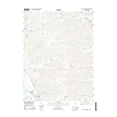
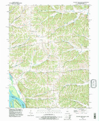 1993 Pleasant Dale Valley1996 Print · USGSThe confluence of the Mississippi and Illinois Rivers defines this pocket of Calhoun County in the 1990s. Genealogists and local historians can trace family plots at Hillcrest Cem or Silver Creek Cem and explore the riverbank geography of Mozier and Cliffdale.
 - 2012 Map of Pleasant Dale Valley, 2012 Print
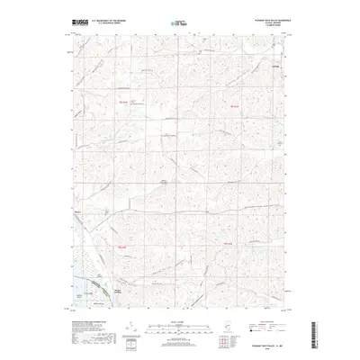
 2012 Pleasant Dale Valley2012 Print · USGSCovers Mozier Landing, including Mozier, Cliffdale, and other nearby areas
 - 2015 Map of Pleasant Dale Valley, 2015 Print
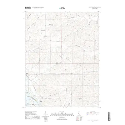
 2015 Pleasant Dale Valley2015 Print · USGSCovers Mozier Landing, including Mozier, Cliffdale, and other nearby areas
 - 2018 Map of Pleasant Dale Valley, 2018 Print
 2018 Pleasant Dale Valley2018 Print · USGSCovers Mozier Landing, including Mozier, Cliffdale, and other nearby areas
 - 2021 Map of Pleasant Dale Valley, 2021 Print
 2021 Pleasant Dale Valley2021 Print · USGSCovers Mozier Landing, including Mozier, Cliffdale, and other nearby areas
 - 2024 Map of Pleasant Dale Valley, 2024 Print
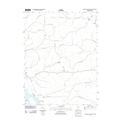
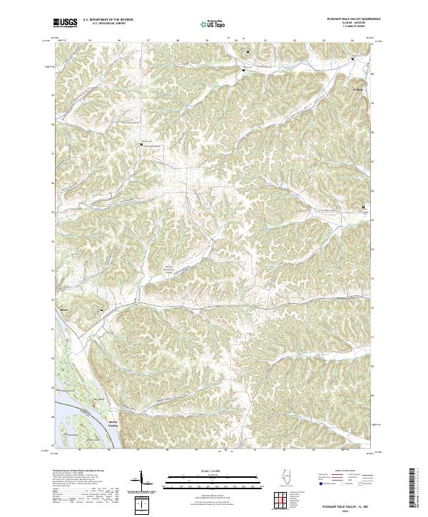 2024 Pleasant Dale Valley2024 Print · USGSThe Mississippi River floodplain and the rugged bluffs of Calhoun County are captured here in the early 2020s. Researchers can locate family burial sites like Hillcrest Cem or trace the river landings at Mozier Landing and the small community of Cliffdale.
End of results
Showing maps 1-12 of 12
Top cities near Mozier Landing
- Elsberry historical maps
- Pleasant Hill historical maps
- Hardin historical maps
- Rosedale historical maps
- Clarksville historical maps
- Nebo historical maps
See more
Frequently asked questions
- What are the different types of historical maps available for Mozier Landing?
- What is the oldest map of Mozier Landing?
- Where can I purchase historical maps of Mozier Landing for my home or office?
- Where can I download high-res historical maps of Mozier Landing?
- Are there historical topographic maps available for Mozier Landing?
- Is there historical aerial imagery available for Mozier Landing?
- Where are historical maps of Mozier Landing sourced from?