Old Maps of Thomson, Illinois for Academic Research
Study the evolution of Thomson with 20 high-resolution historic maps. Whether you're teaching, researching, or modeling changes in land use, these maps provide essential visual documentation of urban, environmental, and geographic change.
- Analyze long-term change: Track patterns in development, transportation, and natural features.
- Ideal for environmental or urban studies: Support academic projects with primary historical map data.
- Use in the classroom or lab: Educators and researchers rely on these maps to bring historical context to life.
These maps are a powerful tool for teaching, research, and visualizing how Thomson has changed over the decades.
Thomson, IL maps
(20)- 1891 Map of Clinton
 1891 Clinton1891 Print · USGSThe Mississippi River corridor thrived as a dual-state rail hub in the 1890s, anchored by the riverfront centers of Clinton and Fulton. Researchers can trace the early tracks of the Chicago and Northwestern RR and locate vanished stops like Almont and Argo.
 - 1894 Map of Clinton
 1894 Clinton1894 Print · USGSThe riverfront communities of eastern Iowa and western Illinois are captured here in the late nineteenth century as rail expansion reached its peak. Researchers can trace early street grids in Clinton and Lyons or locate old rail junctions near Garden Plain and Almont.3 unique versions available
 - 1899 Map of Clinton
 1899 Clinton1899 Print · USGSThe Mississippi River valley comes alive in the late 1890s, capturing the river-and-rail economy of Iowa and Illinois before modern channelization. Genealogists and historians can trace early townships and river landings, finding precise locations for Low Moor, Folletts, and Pink Prairie.5 unique versions available
 - 1952 Map of Clinton, 1953 Print
 1952 Clinton1953 Print · USGSThe Illinois-Iowa border along the Mississippi River is captured here in the early fifties, showing a landscape defined by industrial rail lines and wildlife refuges. Trace family roots through specific rural landmarks like York Ch, Cottonwood Sch, and Calvary Cem.2 unique versions available
 - 1958 Map of Davenport, 1968 Print
 1958 Davenport1968 Print · USGSEastern Iowa and western Illinois thrive along the river during the late fifties, defined by the industrial Quad Cities and a robust rail network. Genealogists can trace family roots through settlements like Oasis and Stanwood or along the Cedar River.2 unique versions available
 - 1961 Map of Davenport
 1961 Davenport1961 Print · USGSThe Quad Cities and the eastern Iowa riverlands are captured here in the early sixties, showing the region's transition into a modern industrial and transit hub. Genealogists and historians can trace the paths of major railroads and find river landmarks like Rock Island Arsenal, Huron Island, and the Coralville Reservoir.
 - 1962 Map of Davenport
 1962 Davenport1962 Print · USGSThe Quad Cities and the Mississippi River corridor are shown at their industrial peak just before the interstate era fully transformed the region. Researchers can trace the sprawling rail networks of the Chicago Rock Island and Pacific and find landmarks like the Rock Island Arsenal and Wild Cat Den State Park.
 - 1967 Map of Clinton NW, 1968 Print
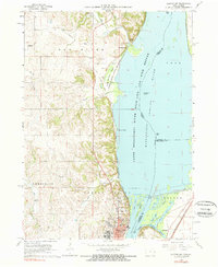 1967 Clinton NW1968 Print · USGSThe Mississippi River bluffs north of Clinton are documented here during the late sixties as industrial and conservation interests shaped the shoreline. Researchers can trace historic family burial sites like Smith Cem or locate the St Irenaeus Sch and Lock and Dam No 13.2 unique versions available
 - 1984 Map of Davenport, 1985 Print
 1984 Davenport1985 Print · USGSThe Quad Cities and the eastern Iowa riverlands are captured in the mid-eighties as industry and conservation converged along the Mississippi. Genealogists and local historians can trace rural roots through Stender Church, Oxford Mills, and the Elmwood Cem burial grounds.2 unique versions available
 - 1985 Map of Thomson, 1986 Print
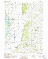 1985 Thomson1986 Print · USGSAlong the Mississippi River in the mid-eighties, this Carroll County landscape features a mix of wildlife refuges and rail-side settlements. Researchers can locate local landmarks like Blind Charleys Corner, the Burlington Northern line, and Potters Marsh.
 - 2010 Map of Clinton NW, 2010 Print
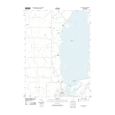 2010 Clinton NW2010 Print · USGSClinton County’s riverfront and rural interior are documented here during the early twenty-first century. Genealogists and historians can trace numerous rural burial grounds such as Hauntown Cemetery or locate the historic Holy Cross Church and the settlement of Almont.
 - 2012 Map of Thomson, 2012 Print
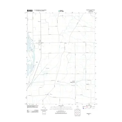 2012 Thomson2012 Print · USGSThe Mississippi River corridor and the agricultural heartland of Carroll County come into focus in this early twenty-first-century survey. Genealogists can trace family footprints through numerous rural burial grounds including Lower York Cem, Baker Cem, and the cluster at Spring Valley.
 - 2013 Map of Clinton NW, 2013 Print
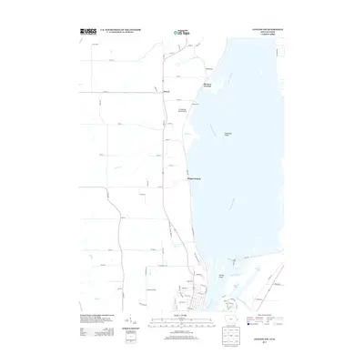 2013 Clinton NW2013 Print · USGSThe Mississippi River corridor north of Clinton appears here in the early twenty-first century, featuring a complex network of sloughs and islands. Local historians can trace the riverside geography of Bulgers Hollow and Elk River Junction or study the engineering of Lock and Dam No 13.
 - 2015 Map of Thomson, 2015 Print
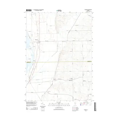 2015 Thomson2015 Print · USGSThe Mississippi River lowlands of Carroll and Whiteside counties come into focus in this contemporary survey of the Illinois prairie. Genealogists can trace family heritage through several rural burial sites, including the Lower York Cem, Baker Cem, and Hollinshead Cem.
 - 2015 Map of Clinton NW, 2015 Print
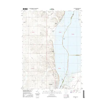 2015 Clinton NW2015 Print · USGSThe Mississippi River corridor near Clinton is captured here in the mid-2010s, showing the complex wetlands of Pool 13 and Cattail Slough. Genealogists can locate several rural burial sites like Wilson Cem and Dierks Cem alongside the small settlement of Hauntown.
 - 2018 Map of Thomson, 2018 Print
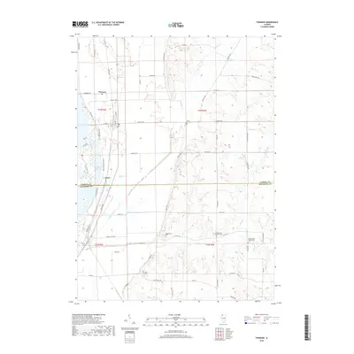 2018 Thomson2018 Print · USGSCrossing the Carroll and Whiteside county line in the late twenty-teens, this survey captures a landscape of riverbottom marshes and upland cemeteries. Genealogists can locate family landmarks like Baker Cem, Lower York Cem, and the community of Ebner.
 - 2018 Map of Clinton NW, 2018 Print
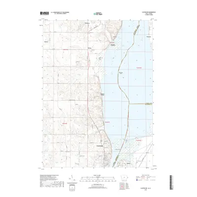 2018 Clinton NW2018 Print · USGSThe northern edge of Clinton and the winding Mississippi River valley are shown here in the late 2010s. Genealogists and local historians can locate several family burial grounds, including Wilson Cem and Dierks Cem, alongside the rural crossroads of Hauntown and Almont.
 - 2021 Map of Thomson, 2021 Print
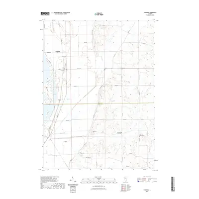 2021 Thomson2021 Print · USGSThe river valley and eastern bluffs near Thomson are captured here in the early twenty-first century. Researchers can trace local heritage through several burial grounds like Hollinshead Cem and Spring Valley Presbyterian Cem or explore the wetlands of Potter Slough.
 - 2022 Map of Clinton NW, 2022 Print
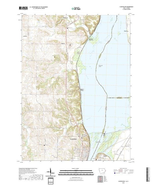 2022 Clinton NW2022 Print · USGSThe Mississippi River corridor near Clinton and Fulton comes into sharp focus during the early twenty-first century. Researchers can trace the river's edge through Woodruffs Island and Stamps Island or locate family history at Oakland Cem and Hauntown Cem.
 - 2024 Map of Thomson, 2024 Print
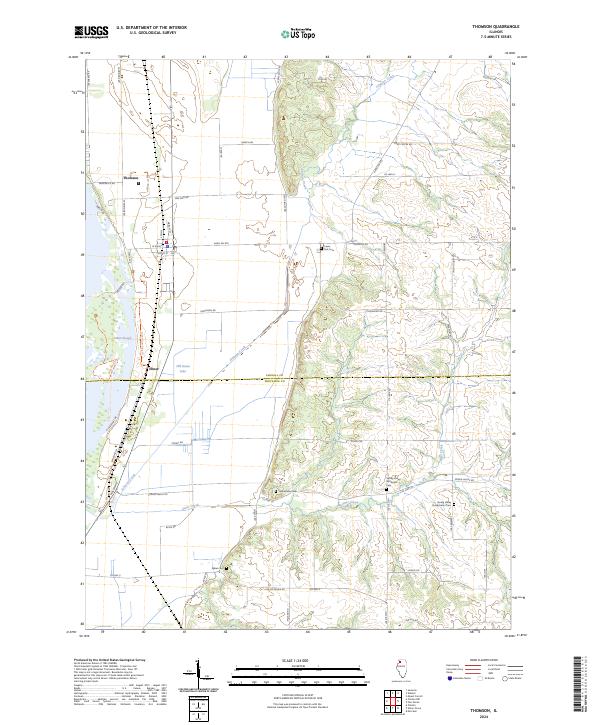 2024 Thomson2024 Print · USGSThis Carroll County landscape shows the Mississippi River bottomlands meeting the Illinois bluffs in the early twenty-first century. Genealogists and local historians can locate several rural burial grounds including Lower York Cem and the Baker Cem, while tracing the former rail corridors near Ebner.
End of results
Showing maps 1-20 of 20
Top cities near Thomson
- Clinton historical maps
- Camanche historical maps
- Morrison historical maps
- Fulton historical maps
- Savanna historical maps
- Mount Carroll historical maps
See more
Frequently asked questions
- What are the different types of historical maps available for Thomson?
- What is the oldest map of Thomson?
- Where can I purchase historical maps of Thomson for my home or office?
- Where can I download high-res historical maps of Thomson?
- Are there historical topographic maps available for Thomson?
- Is there historical aerial imagery available for Thomson?
- Where are historical maps of Thomson sourced from?