Old Maps of Millersville, Illinois for Hiking & Exploration
Hike through history with 12 historic maps of Millersville. Explore old trails, ghost towns, and forgotten backroads — perfect for outdoor adventurers and local explorers.
- Rediscover forgotten places: Map out old mining camps, roads, and footpaths that no longer exist on modern maps.
- Layer with modern tools: Combine with LiDAR or satellite views to plan hikes through historical terrain.
- Made for exploration: Popular among hikers, overlanders, and local history lovers.
Use these maps to find adventure and explore the hidden past of Millersville.
Millersville, IL maps
(12)- 1947 Map of Pana
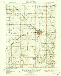
 1947 Pana1947 Print · USGSRailroad lines from three major carriers converge at Pana in the mid-1940s, serving a productive agricultural landscape across three counties. Researchers can locate dozens of country schools and churches, including Swamp Angel School, Sacred Heart Cem, and Owaneco.
 - 1949 Map of Pana
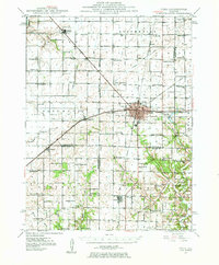
 1949 Pana1949 Print · USGSCentral Illinois rail traffic peaked in the late 1940s as five major lines converged at the hub of Pana. Researchers can trace the rural school system and family burial grounds such as Durbin College Sch and Mound Cem.2 unique versions available
 - 1958 Map of Decatur, 1971 Print
 1958 Decatur1971 Print · USGSCentral Illinois in the mid-twentieth century shows a landscape defined by industrial rail hubs and the creation of large reservoirs. Researchers can trace historic corridors like the Penn Central or locate landmarks such as Lincoln Log Cabin State Park and Lake Springfield.3 unique versions available
 - 1961 Map of Decatur
 1961 Decatur1961 Print · USGSCentral Illinois in the late fifties was a bustling corridor of rail lines and prairie commerce centered on the state capital. Genealogists and historians can trace the intricate connections between Springfield, Decatur, and dozens of smaller settlements like Nokomis and Arcola.2 unique versions available
 - 1982 Map of Litchfield
 1982 Litchfield1982 Print · USGSThe coal and rail corridors of Central Illinois are captured here in the early eighties as the region balanced industrial mining with its agricultural roots. Researchers can trace family history through sites like Zelmer Memorial Cemetery or the grounds of Blackburn College and the Crown Mine No 1.
 - 1982 Map of Owaneco
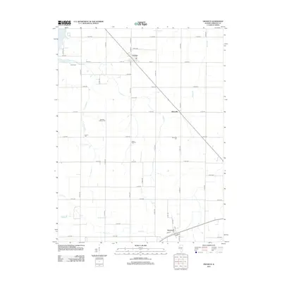
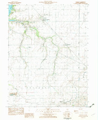 1982 Owaneco1982 Print · USGSChristian County agricultural life in the early eighties is captured here, centered on the village of Owaneco. Genealogists can locate family sites at Durbin Cem or Buckeye Cem while tracing the Baltimore and Ohio rail lines.
 - 1998 Map of Owaneco, 2002 Print
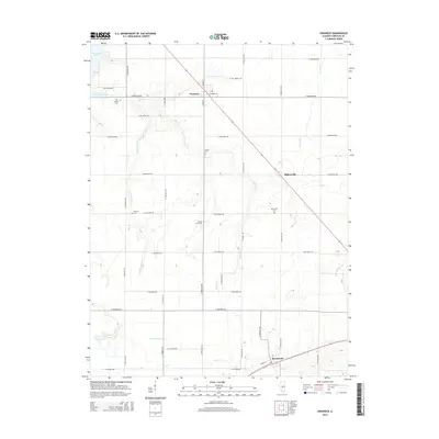
 1998 Owaneco2002 Print · USGSChristian County at the turn of the millennium shows a landscape of established rail towns and quiet rural townships. Genealogists and local historians can trace family roots through sites like Durbin Cem, the village of Owaneco, and the Baltimore and Ohio rail line.
 - 2012 Map of Owaneco, 2012 Print
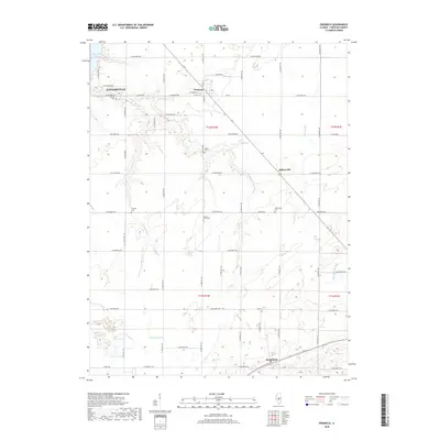
 2012 Owaneco2012 Print · USGSCovers Millersville, including Taylorville, Rosamond, and other nearby areas
 - 2015 Map of Owaneco, 2015 Print
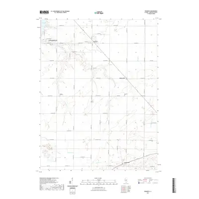
 2015 Owaneco2015 Print · USGSCovers Millersville, including Taylorville, Rosamond, and other nearby areas
 - 2018 Map of Owaneco, 2018 Print
 2018 Owaneco2018 Print · USGSCovers Millersville, including Taylorville, Rosamond, and other nearby areas
 - 2021 Map of Owaneco, 2021 Print
 2021 Owaneco2021 Print · USGSCovers Millersville, including Taylorville, Rosamond, and other nearby areas
 - 2024 Map of Owaneco, 2024 Print
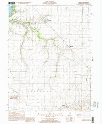
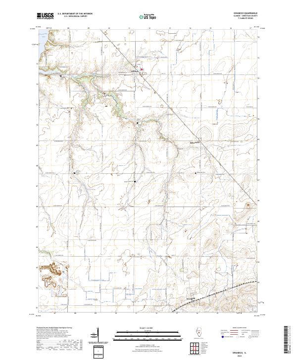 2024 Owaneco2024 Print · USGSChristian County's agricultural heartland is captured in this modern survey of the prairie south of Taylorville. Genealogists can locate several family and community landmarks, including Buckeye Prairie Cem, Potters Field Cem, and the village of Owaneco.
End of results
Showing maps 1-12 of 12
Top cities near Millersville
- Taylorville historical maps
- Pana historical maps
- Nokomis historical maps
- Moweaqua historical maps
- Assumption historical maps
- Edinburg historical maps
See more
Frequently asked questions
- What are the different types of historical maps available for Millersville?
- What is the oldest map of Millersville?
- Where can I purchase historical maps of Millersville for my home or office?
- Where can I download high-res historical maps of Millersville?
- Are there historical topographic maps available for Millersville?
- Is there historical aerial imagery available for Millersville?
- Where are historical maps of Millersville sourced from?