2000s (21st Century) Maps of Marshall, Illinois
Explore 10 historic maps of Marshall from the 2000s (21st Century). These maps offer a rare glimpse into what life looked like during the 2000s — showing old roads, neighborhoods, homes, and landmarks that have changed or disappeared over time.
Whether you're researching your family's past, planning a metal detecting trip, or studying how Marshall's landscape evolved across the 2000s, these high-resolution maps are a powerful tool for exploring the history of this region.
- Focus on a specific era: All maps on this page are from the 2000s, giving you a focused view of this time period.
- See what’s changed: Compare century-old streets, trails, and buildings to today's modern landscape using overlays and satellite layers.
- Research with precision: Use these maps for genealogy, historical research, land use analysis, or educational projects.
- View, download, or print: Maps are fully viewable online in high resolution, and can be downloaded or printed for your own records.
Start exploring Marshall's history through authentic maps from the 2000s. This is your window into the past.
Marshall, IL maps
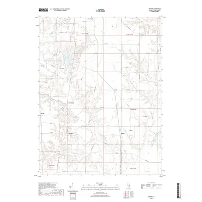
(10)- 2012 Map of Snyder, 2012 Print
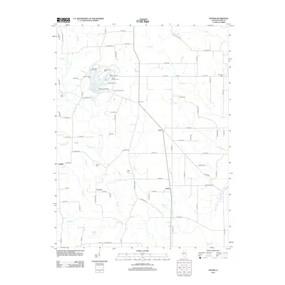 2012 Snyder2012 Print · USGSCovers Marshall, including Ernst, Choctaw, and other nearby areas
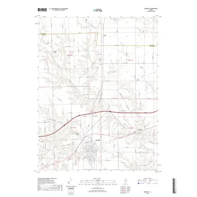
 - 2012 Map of Marshall, 2012 Print
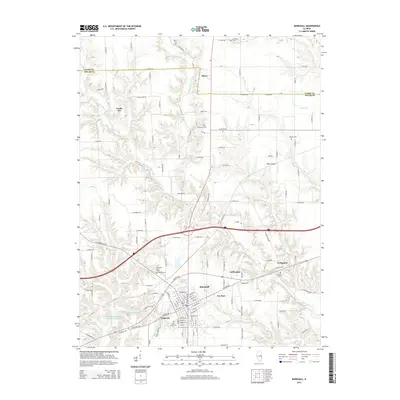
 2012 Marshall2012 Print · USGSCovers Marshall, including Oliver, Castle Fin, and other nearby areas
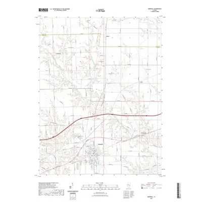
 - 2015 Map of Marshall, 2015 Print
 2015 Marshall2015 Print · USGSCovers Marshall, including Oliver, Castle Fin, and other nearby areas
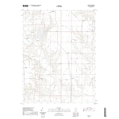
 - 2015 Map of Snyder, 2015 Print
 2015 Snyder2015 Print · USGSCovers Marshall, including Ernst, Choctaw, and other nearby areas
 - 2018 Map of Snyder, 2018 Print
 2018 Snyder2018 Print · USGSCovers Marshall, including Ernst, Choctaw, and other nearby areas
 - 2018 Map of Marshall, 2018 Print
 2018 Marshall2018 Print · USGSCovers Marshall, including Oliver, Castle Fin, and other nearby areas
 - 2021 Map of Snyder, 2021 Print
 2021 Snyder2021 Print · USGSCovers Marshall, including Ernst, Choctaw, and other nearby areas
 - 2021 Map of Marshall, 2021 Print
 2021 Marshall2021 Print · USGSCovers Marshall, including Oliver, Castle Fin, and other nearby areas
 - 2024 Map of Marshall, 2024 Print
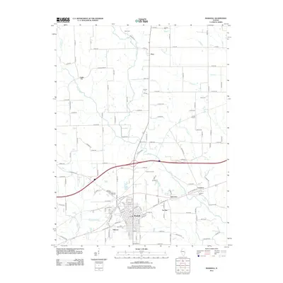
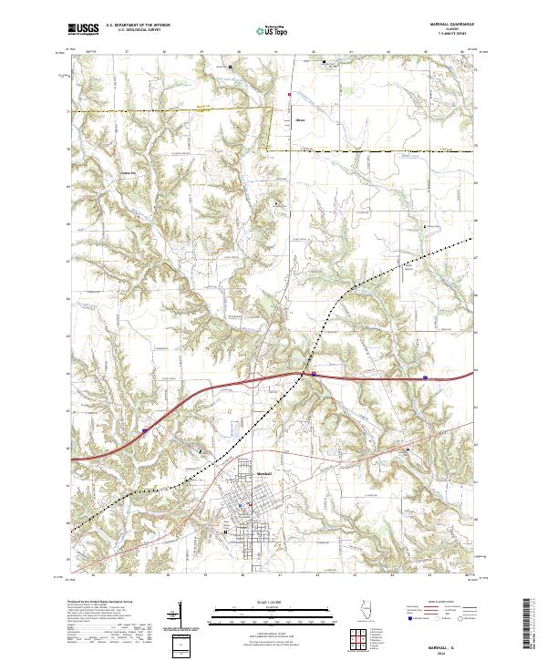 2024 Marshall2024 Print · USGSMarshall and the surrounding Clark County countryside appear in this recent survey, showcasing a landscape shaped by the National Rd. Researchers can locate several rural burial grounds like Forsythe Cem and Saint Marys Cem, or trace the winding course of Crooked Creek.
 - 2024 Map of Snyder, 2024 Print
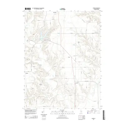
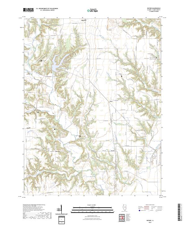 2024 Snyder2024 Print · USGSSnyder and the rural stretches of Clark County are captured here in the early twenty-first century, showing a landscape defined by state park lands and quiet farming hamlets. Trace family roots at Blizzard Cem or Ziegler Cem, and explore the shoreline of Lincoln Trail State Park Lake.
End of results
Showing maps 1-10 of 10
Top cities near Marshall
- Terre Haute historical maps
- Paris historical maps
- Prairieton historical maps
- Prairie Creek historical maps
- Martinsville historical maps
- Elbridge historical maps
See more
Top neighborhoods of Marshall
Frequently asked questions
- What are the different types of historical maps available for Marshall?
- What is the oldest map of Marshall?
- Where can I purchase historical maps of Marshall for my home or office?
- Where can I download high-res historical maps of Marshall?
- Are there historical topographic maps available for Marshall?
- Is there historical aerial imagery available for Marshall?
- Where are historical maps of Marshall sourced from?