2024 Map of Snyder
USGS Topo · Published 2024About this map
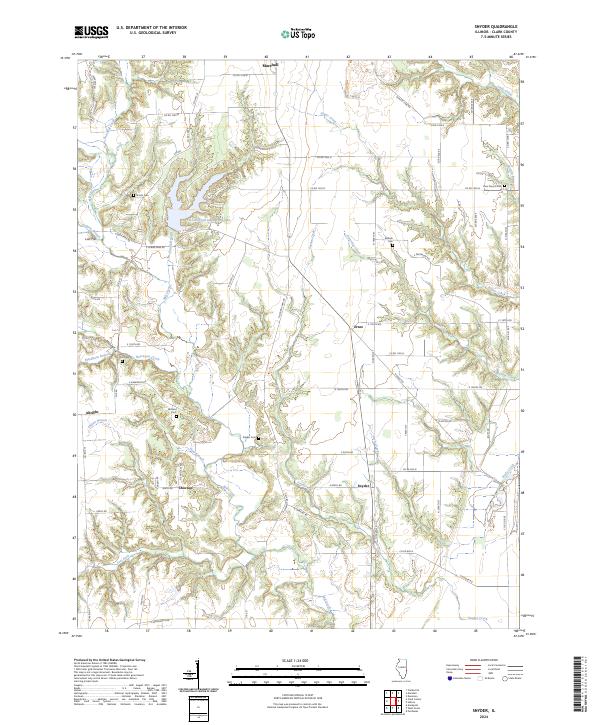
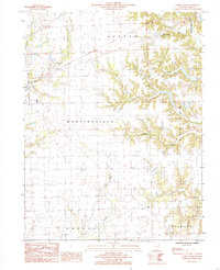
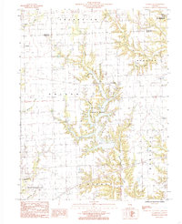
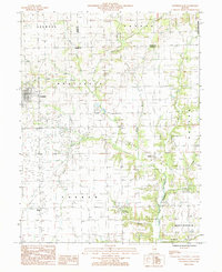
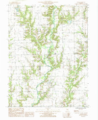
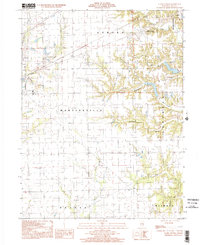
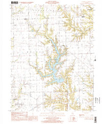
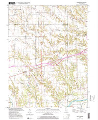
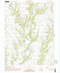
Lincoln Trail State Park anchors this central Illinois landscape, centered around the Lincoln Trail State Park Lake. The area is characterized by a dense network of creek systems, including Mill Creek, Sugar Creek, and Partridge Creek, which carve through the terrain near the small settlements of Snyder, Choctaw, and Ernst. These communities are connected by a grid of rural routes such as N Grand Turn Rd and CO Hwy 22.
Find a feature on this map
71 named features on this map. Tap any name to fly to it.
Don’t see what you’re looking for? This feature index may not catch every label — zoom into the map to look around manually.
Map Details
Editions of this 2024 Snyder Map
This is the sole edition of this map. No revisions or reprints were ever made.
Historical Maps of Marshall Through Time
18 maps found
1942 Dennison
Clark County, IL
1964 Dennison
Clark County, IL
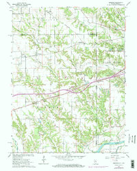
1964 Snyder
Clark County, IL
1984 Clark Center
Clark County, IL
1984 Clarksville
Clark County, IL
1984 Westfield East
Clark County, IL
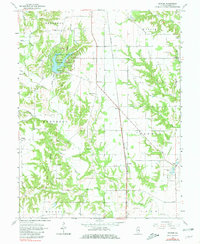
1985 Moriah
Clark County, IL
1998 Clark Center
Clark County, IL
1998 Clarksville
Clark County, IL
1998 Dennison
Clark County, IL
1998 Moriah
Clark County, IL
1998 Westfield East
Clark County, IL
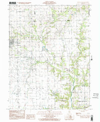
2024 Clark Center
Clark County, IL
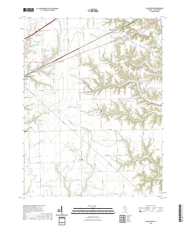
2024 Clarksville
Clark County, IL
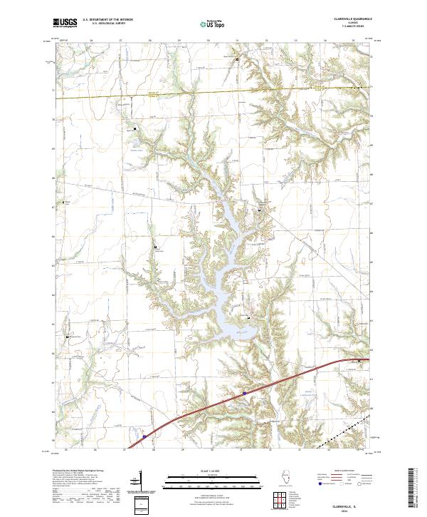
2024 Dennison
Clark County, IL
2024 Moriah
Clark County, IL
2024 Snyder
Clark County, IL
2024 Westfield East
Clark County, IL