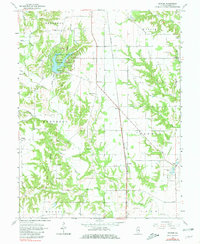
1964 Map of Snyder
USGS Topo · Published 1981About this map
The Old Treaty Boundary cuts a diagonal path through this portion of Clark County, marking a significant historical line across a landscape defined by the drainage basins of Mill Creek and Hurricane Creek. To the north, Lincoln Trail State Park centers on a large water body with designated picnic areas and campgrounds, serving as a primary recreational landmark. The local economy and transit of the mid-1960s are anchored by the New York Central railroad line, which links the small settlements of Ernst and Snyder.
Find a feature on this map
41 named features on this map. Tap any name to fly to it.
Don’t see what you’re looking for? This feature index may not catch every label — zoom into the map to look around manually.
Map Details
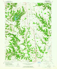
Editions of this 1964 Snyder Map
2 editions found
Other maps of this area

1932 · Marshall
USGS Topo · 1:62,500

1936 · Casey
USGS Topo · 1:48,000

1937 · Marshall
USGS Topo · 1:62,500

1942 · Fairbanks
USGS Topo · 1:24,000

1942 · Hutton
USGS Topo · 1:24,000

1942 · Dennison
USGS Topo · 1:24,000

1942 · Casey
USGS Topo · 1:62,500

1943 · Casey
USGS Topo · 1:62,500

1952 · Fairbanks
USGS Topo · 1:24,000
1952 · Hutton
USGS Topo · 1:24,000