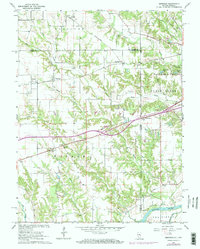
1964 Map of Dennison
USGS Topo · Published 1973About this map
The Penn Central rail line cuts diagonally across this Illinois-Indiana borderland, connecting several mid-century railroad settlements. In the center of the sheet, Dennison serves as a focal point for the surrounding agricultural community, while smaller hamlets like McKeen, Farrington, and Weaver are linked by a network of country roads. The landscape is deeply incised by the drainage systems of Sugar Creek, Clear Creek, and Hawks Creek, which flow toward the eastern boundary. Notable local landmarks include Camp Illiana and Windemere Lake near the state line. Genealogists will find significant detail in the placement of rural houses of worship such as Dunlap Ch and Armstrong Ch, along with family burial grounds like Farris Cem. In the southeast, the terrain shifts significantly as it meets the lowlands of the Wabash River near Prairie Ton.
Find a feature on this map
43 named features on this map. Tap any name to fly to it.
Don’t see what you’re looking for? This feature index may not catch every label — zoom into the map to look around manually.
Map Details
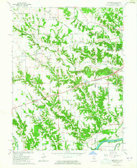
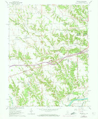
Editions of this 1964 Dennison Map
3 editions found
Other maps of this area

1932 · Marshall
USGS Topo · 1:62,500

1937 · Marshall
USGS Topo · 1:62,500

1940 · Pimento
USGS Topo · 1:24,000

1941 · Terre Haute
USGS Topo · 1:24,000

1942 · Hutton
USGS Topo · 1:24,000

1942 · Dennison
USGS Topo · 1:24,000

1947 · Paris
USGS Topo · 1:62,500

1948 · Terre Haute
USGS Topo · 1:24,000

1949 · Paris
USGS Topo · 1:62,500

1950 · New Goshen
USGS Topo · 1:24,000