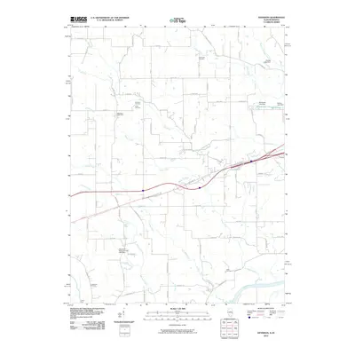
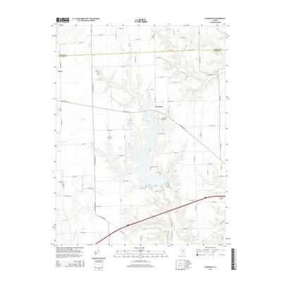
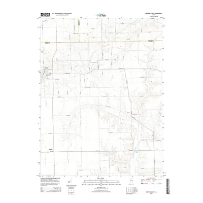
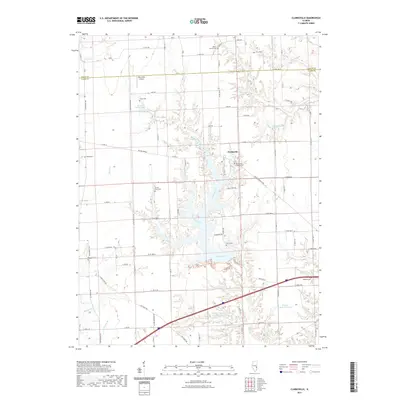
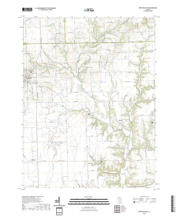
1984 Map of Westfield East
USGS Topo · Published 1985About this map
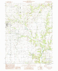
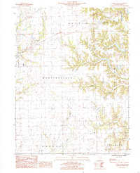
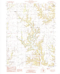
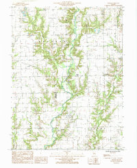
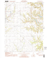
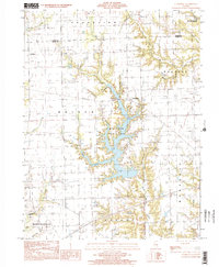
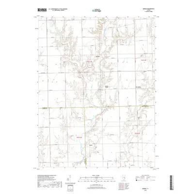
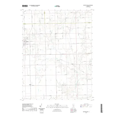
The North Fork Embarras River winds through this rural landscape in eastern Illinois, where small agrarian settlements and extractive industries meet. The village of Westfield serves as a primary hub in the northwest, featuring a concentrated street grid and a Trailer Park. To the south, the aptly named settlement of Oilfield points to the region's historic energy production, situated near Lambs Branch.
Find a feature on this map
30 named features on this map. Tap any name to fly to it.
Don’t see what you’re looking for? This feature index may not catch every label — zoom into the map to look around manually.
Map Details
Editions of this 1984 Westfield East Map
This is the sole edition of this map. No revisions or reprints were ever made.
Historical Maps of Westfield Through Time
43 maps found
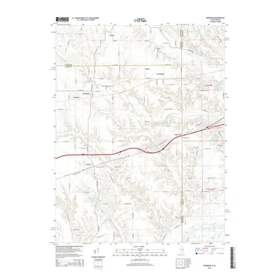
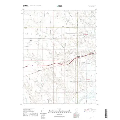
1942 Dennison
Clark County, IL
1964 Dennison
Clark County, IL
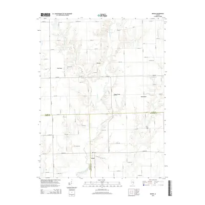
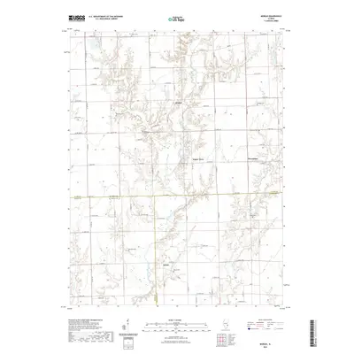
1964 Snyder
Clark County, IL
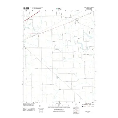
1984 Clark Center
Clark County, IL
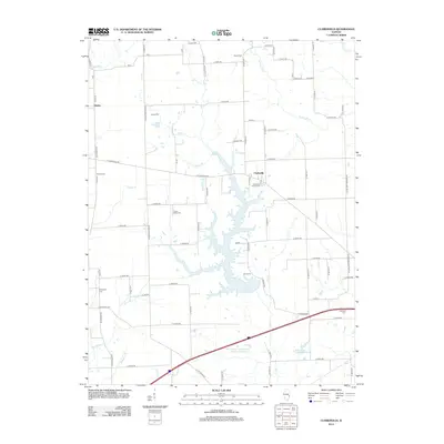
1984 Clarksville
Clark County, IL
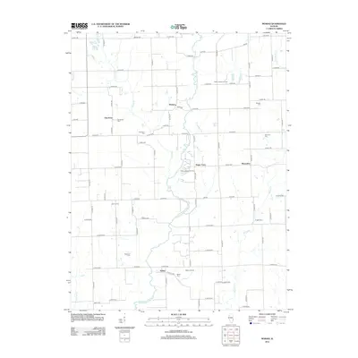
1984 Westfield East
Clark County, IL
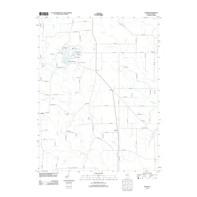
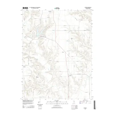
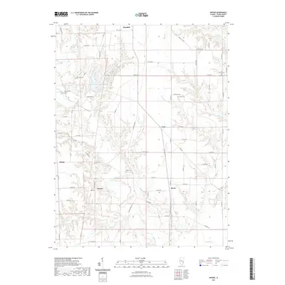
1985 Moriah
Clark County, IL
1998 Clark Center
Clark County, IL
1998 Clarksville
Clark County, IL
1998 Dennison
Clark County, IL
1998 Moriah
Clark County, IL
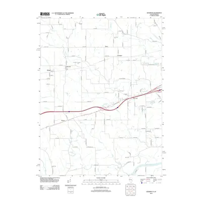
1998 Westfield East
Clark County, IL
2010 Dennison
Clark County, IL
2012 Clark Center
Clark County, IL
2012 Clarksville
Clark County, IL
2012 Dennison
Clark County, IL
2012 Moriah
Clark County, IL
2012 Snyder
Clark County, IL
2012 Westfield East
Clark County, IL
2015 Clark Center
Clark County, IL
2015 Clarksville
Clark County, IL
2015 Dennison
Clark County, IL
2015 Moriah
Clark County, IL
2015 Snyder
Clark County, IL
2015 Westfield East
Clark County, IL
2018 Clark Center
Clark County, IL
2018 Clarksville
Clark County, IL
2018 Dennison
Clark County, IL
2018 Moriah
Clark County, IL
2018 Snyder
Clark County, IL
2018 Westfield East
Clark County, IL
2021 Clark Center
Clark County, IL
2021 Clarksville
Clark County, IL
2021 Dennison
Clark County, IL
2021 Moriah
Clark County, IL
2021 Snyder
Clark County, IL
2021 Westfield East
Clark County, IL
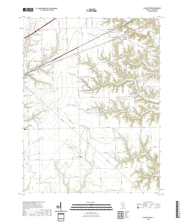
2024 Clark Center
Clark County, IL
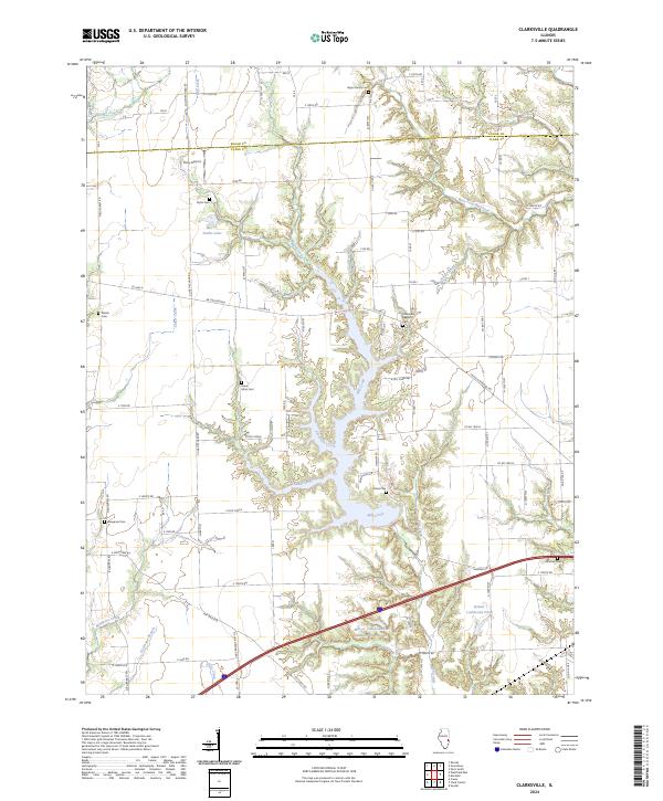
2024 Clarksville
Clark County, IL
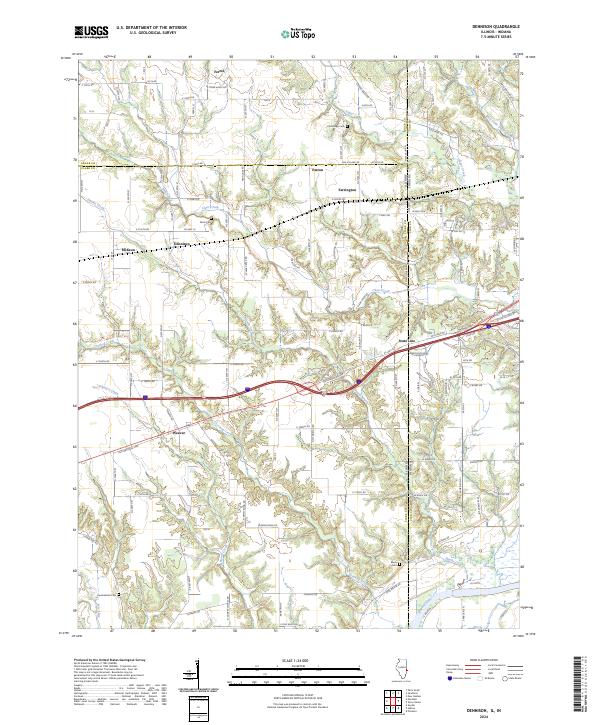
2024 Dennison
Clark County, IL
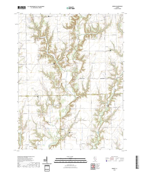
2024 Moriah
Clark County, IL
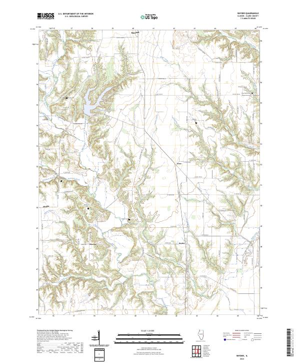
2024 Snyder
Clark County, IL
2024 Westfield East
Clark County, IL