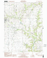
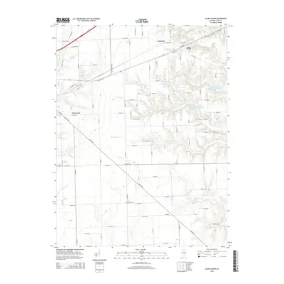
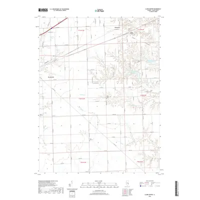
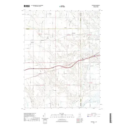
2024 Map of Clark Center
USGS Topo · Published 2024About this map
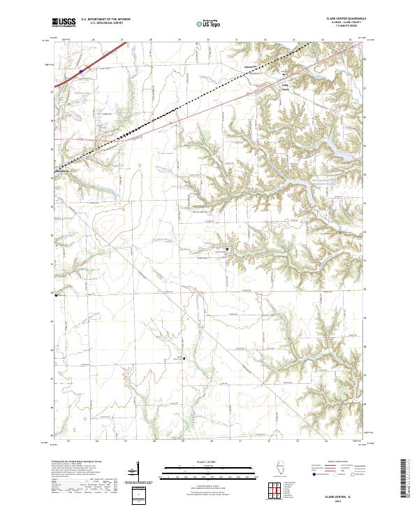
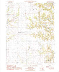
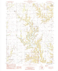
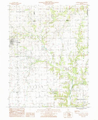
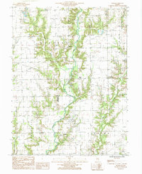
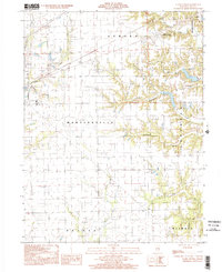
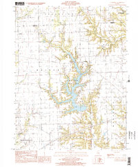
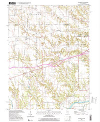
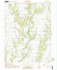
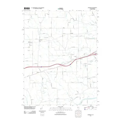
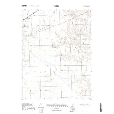
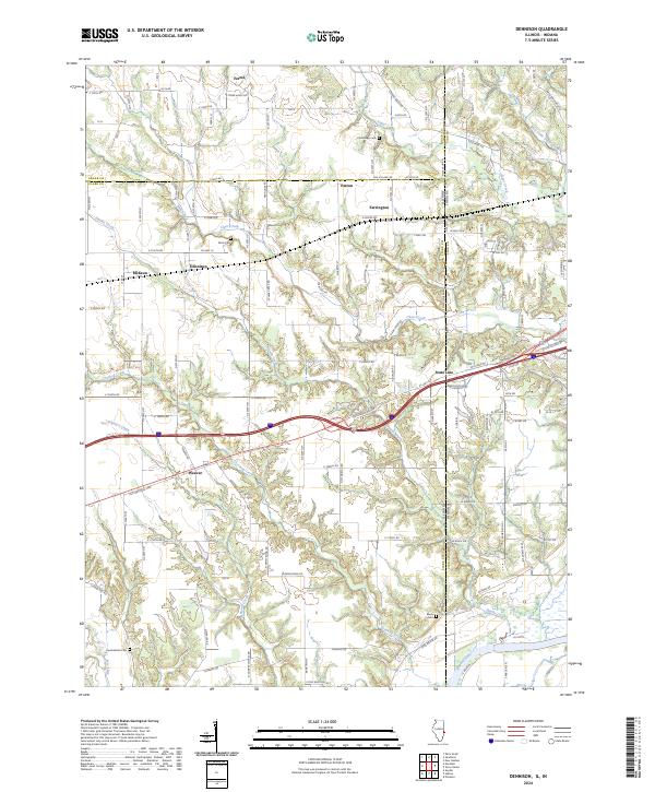
Clark Center serves as the central hub of this eastern Illinois landscape, situated at the junction of several rural routes including Byron St and E Clark Center Rd. The terrain is defined by a dense network of waterways and valleys, most notably the winding course of Hurricane Creek and the Mill Creek Watershed Impoundment Reservoir. These water features have deeply etched the land, creating distinctive topographical reliefs such as Rocky Hollow and several named branches like Auburn Branch and Johnson Branch.
Find a feature on this map
90 named features on this map. Tap any name to fly to it.
Don’t see what you’re looking for? This feature index may not catch every label — zoom into the map to look around manually.
Map Details
Editions of this 2024 Clark Center Map
This is the sole edition of this map. No revisions or reprints were ever made.
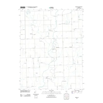
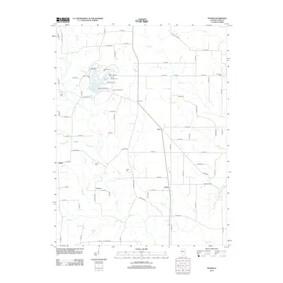
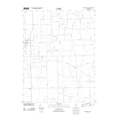
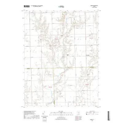
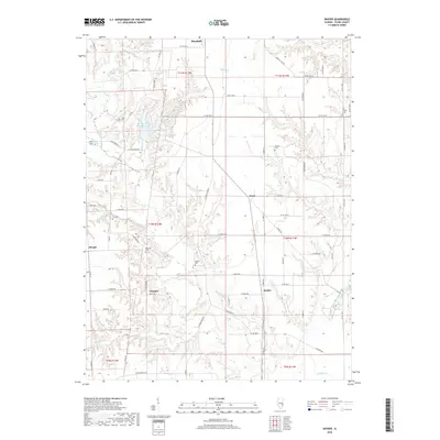
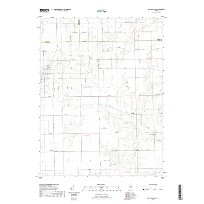
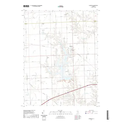
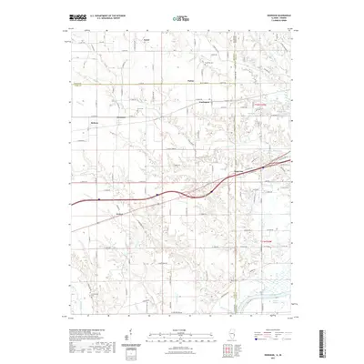
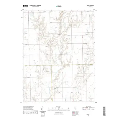
Historical Maps of Martinsville Through Time
43 maps found
1942 Dennison
Clark County, IL
1964 Dennison
Clark County, IL
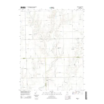
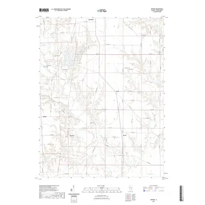
1964 Snyder
Clark County, IL
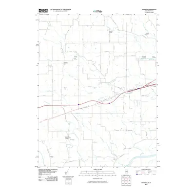
1984 Clark Center
Clark County, IL
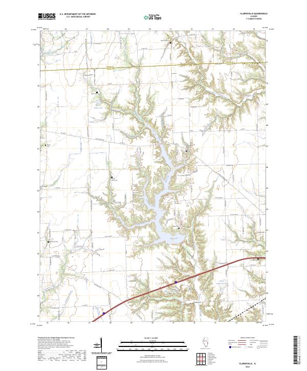
1984 Clarksville
Clark County, IL
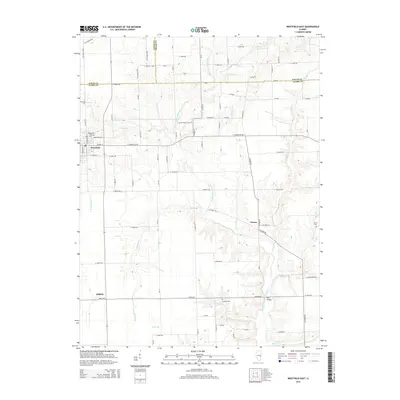
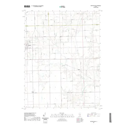
1984 Westfield East
Clark County, IL
1985 Moriah
Clark County, IL
1998 Clark Center
Clark County, IL
1998 Clarksville
Clark County, IL
1998 Dennison
Clark County, IL
1998 Moriah
Clark County, IL
1998 Westfield East
Clark County, IL
2010 Dennison
Clark County, IL
2012 Clark Center
Clark County, IL
2012 Clarksville
Clark County, IL
2012 Dennison
Clark County, IL
2012 Moriah
Clark County, IL
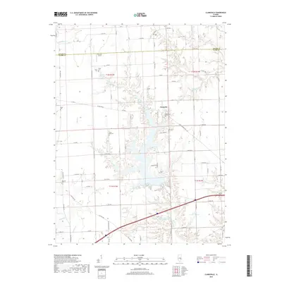
2012 Snyder
Clark County, IL
2012 Westfield East
Clark County, IL
2015 Clark Center
Clark County, IL
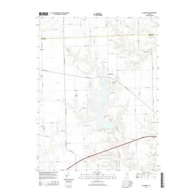
2015 Clarksville
Clark County, IL
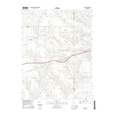
2015 Dennison
Clark County, IL
2015 Moriah
Clark County, IL
2015 Snyder
Clark County, IL
2015 Westfield East
Clark County, IL
2018 Clark Center
Clark County, IL
2018 Clarksville
Clark County, IL
2018 Dennison
Clark County, IL
2018 Moriah
Clark County, IL
2018 Snyder
Clark County, IL
2018 Westfield East
Clark County, IL
2021 Clark Center
Clark County, IL
2021 Clarksville
Clark County, IL
2021 Dennison
Clark County, IL
2021 Moriah
Clark County, IL
2021 Snyder
Clark County, IL
2021 Westfield East
Clark County, IL
2024 Clark Center
Clark County, IL
2024 Clarksville
Clark County, IL
2024 Dennison
Clark County, IL
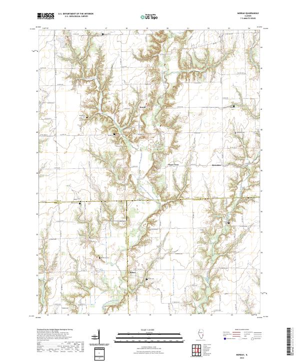
2024 Moriah
Clark County, IL
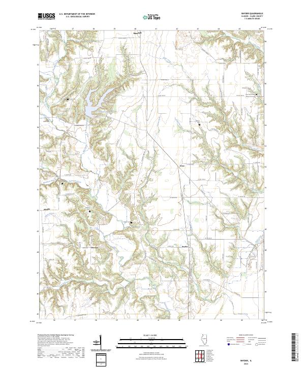
2024 Snyder
Clark County, IL
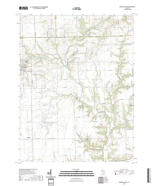
2024 Westfield East
Clark County, IL