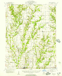
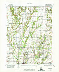
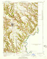
1956 Map of Annapolis
USGS Topo · Published 1957About this map
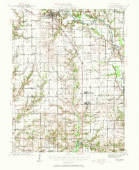
The Embarrass River and its network of tributaries, including North Fork and Muddy Creek, define the landscape of this agricultural region spanning the Clark and Crawford county line. In the mid-1950s, the rural character is punctuated by small crossroads and post offices such as Moonshine, Hogue Town, and Porterville (Eaton PO). The southern edge of the survey is anchored by Oblong, where the Illinois Central railroad corridor provides a vital industrial link. Family history is deeply rooted here, evidenced by numerous country sanctuaries and resting places like New Harmony Ch, Backbone Cem, and the East McDaniel Sch (Abandoned). The presence of an Oil Field in the north, near Moriah, suggests the early extraction history that once shaped the local economy alongside traditional farming.
Find a feature on this map
66 named features on this map. Tap any name to fly to it.
Don’t see what you’re looking for? This feature index may not catch every label — zoom into the map to look around manually.
Map Details
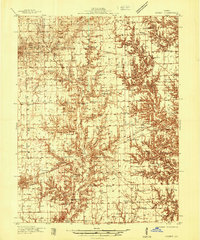
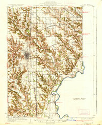
Editions of this 1956 Annapolis Map
2 editions found
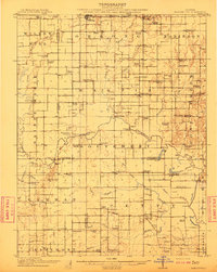
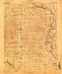
Other maps of this area
1910 · Hardinville
USGS Topo · 1:62,500
1917 · Birds
USGS Topo · 1:62,500
1932 · Marshall
USGS Topo · 1:62,500

1933 · Toledo
USGS Topo · 1:62,500
1936 · Casey
USGS Topo · 1:48,000
1937 · Marshall
USGS Topo · 1:62,500

1938 · Toledo
USGS Topo · 1:62,500
1940 · Greenup
USGS Topo · 1:62,500
1941 · Newton
USGS Topo · 1:62,500

1942 · Birds
USGS Topo · 1:62,500