Loading...
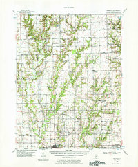
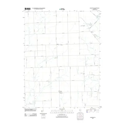
Loading map...1956 Map of Annapolis
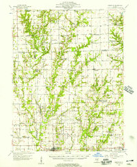
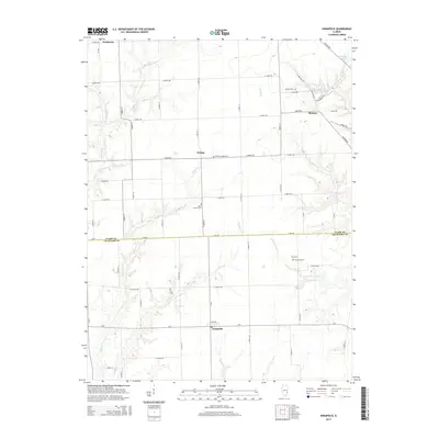
USGS Topo · Published 1978About this map
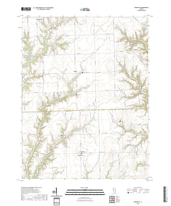
The Embarras River and its North Fork carve through this section of eastern Illinois, where mid-century agricultural life is defined by a network of small settlements and country crossroads. The landscape is dotted with rural institutions such as the Wesley Chapel and Cottonwood Sch, alongside smaller communities like Annapolis and Hogue Town. Local genealogy is well-preserved through numerous named burial grounds, including the Walnut Chapel Cem and Backbone Cem.
Find a feature on this map
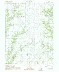
65 named features on this map. Tap any name to fly to it.
Don’t see what you’re looking for? This feature index may not catch every label — zoom into the map to look around manually.
Map Details
Date Portrayed1956
Date Published1978
PublisherU.S. Geological Survey
Map TypeTopographic
Scale1:62,500
Physical Dimensions18 x 21.8 inches
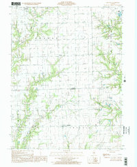
Editions of this 1956 Annapolis Map
2 editions found
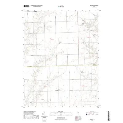
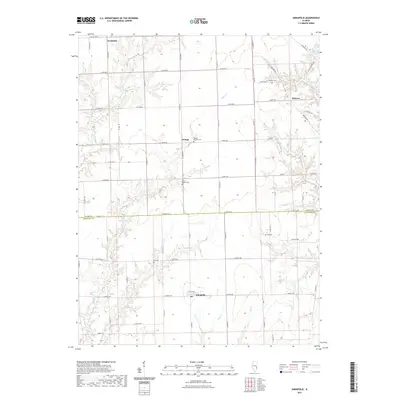
Historical Maps of Robinson Through Time
8 maps found
Featured Locations
Source Details
SourceU.S. Geological Survey
CopyrightPublic Domain