2000s (21st Century) Maps of Clay County, Illinois
Explore 85 historic maps of Clay County from the 2000s (21st Century). These maps offer a rare glimpse into what life looked like during the 2000s — showing old roads, neighborhoods, homes, and landmarks that have changed or disappeared over time.
Whether you're researching your family's past, planning a metal detecting trip, or studying how Clay County's landscape evolved across the 2000s, these high-resolution maps are a powerful tool for exploring the history of this region.
- Focus on a specific era: All maps on this page are from the 2000s, giving you a focused view of this time period.
- See what’s changed: Compare century-old streets, trails, and buildings to today's modern landscape using overlays and satellite layers.
- Research with precision: Use these maps for genealogy, historical research, land use analysis, or educational projects.
- View, download, or print: Maps are fully viewable online in high resolution, and can be downloaded or printed for your own records.
Start exploring Clay County's history through authentic maps from the 2000s. This is your window into the past.
Clay County, IL maps
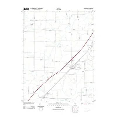
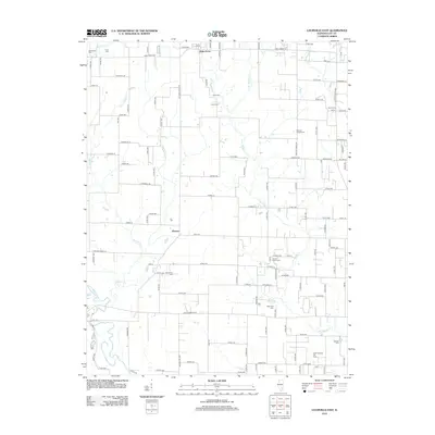
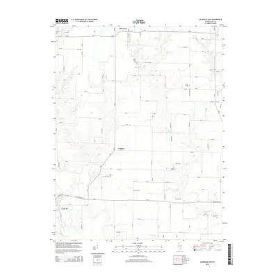
(85)- 2012 Map of Oskaloosa, 2012 Print
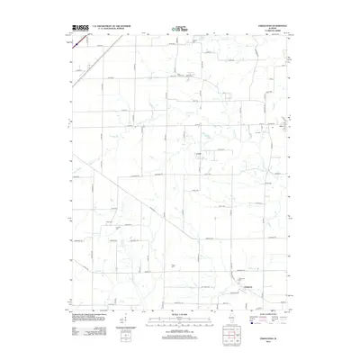 2012 Oskaloosa2012 Print · USGSCovers Clay County, including Oskaloosa, Iola, and other nearby areas
 - 2012 Map of Johnsonville, 2012 Print
 2012 Johnsonville2012 Print · USGSCovers Clay County, including Johnsonville, Harter Township, and other nearby areas
 - 2012 Map of Cisne, 2012 Print
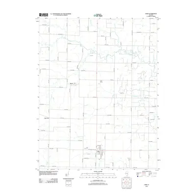 2012 Cisne2012 Print · USGSCovers Clay County, including Cisne, Harter Township, and other nearby areas
 - 2012 Map of Xenia NE, 2012 Print
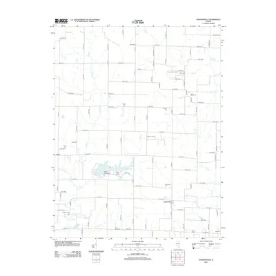
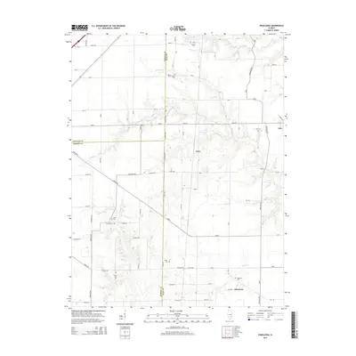
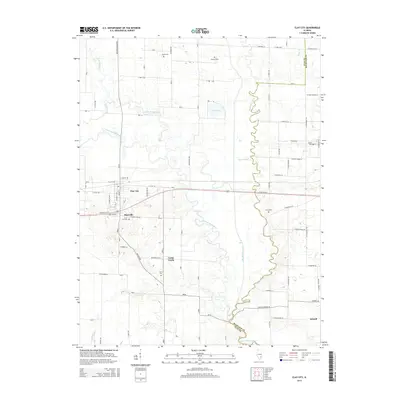
 2012 Xenia NE2012 Print · USGSCovers Clay County, including Flora, Harter Township, and other nearby areas
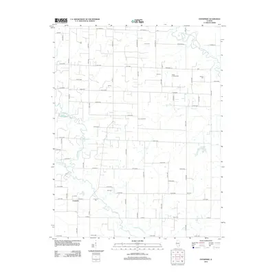
 - 2012 Map of Edgewood, 2012 Print
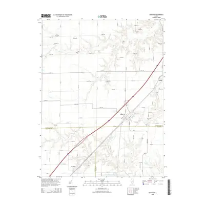
 2012 Edgewood2012 Print · USGSCovers Clay County, including La Clede, Edgewood, and other nearby areas
 - 2012 Map of Xenia, 2012 Print
 2012 Xenia2012 Print · USGSCovers Clay County, including Xenia, Greendale, and other nearby areas
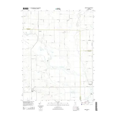
 - 2012 Map of Mount Erie, 2012 Print
 2012 Mount Erie2012 Print · USGSCovers Clay County, including Mount Erie, Clay City Township, and other nearby areas
 - 2012 Map of Orchardville, 2012 Print
 2012 Orchardville2012 Print · USGSCovers Clay County, including Orchardville, Xenia Township, and other nearby areas
 - 2012 Map of Louisville East, 2012 Print
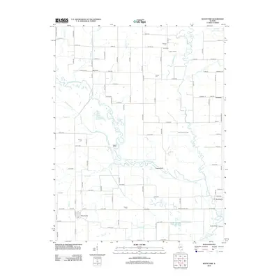
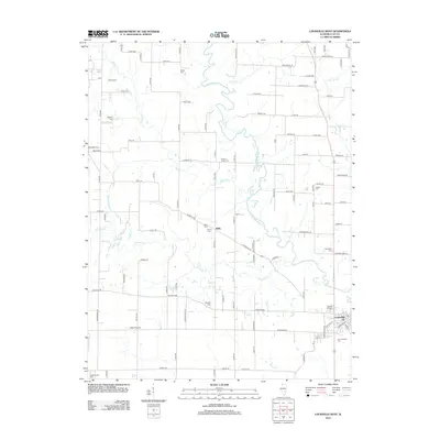
 2012 Louisville East2012 Print · USGSCovers Clay County, including Louisville, Bible Grove, and other nearby areas
 - 2012 Map of Enterprise, 2012 Print
 2012 Enterprise2012 Print · USGSCovers Clay County, including Clay City Township, Enterprise, and other nearby areas
 - 2012 Map of Eberle, 2012 Print
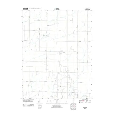 2012 Eberle2012 Print · USGSCovers Clay County, including Eberle, Winterrowd, and other nearby areas
 - 2012 Map of Sailor Springs, 2012 Print
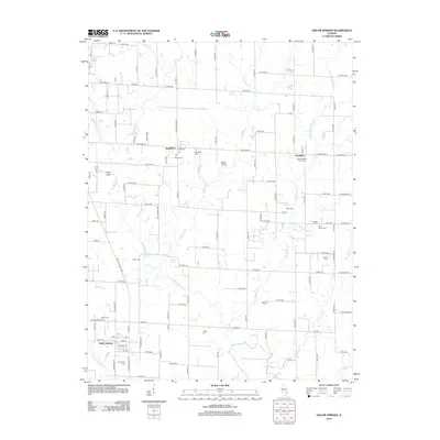 2012 Sailor Springs2012 Print · USGSCovers Clay County, including Sailor Springs, Wendelin, and other nearby areas
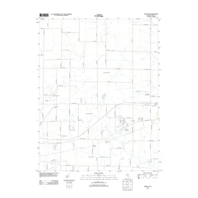
 - 2012 Map of Hord, 2012 Print
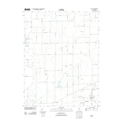
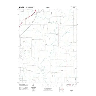 2012 Hord2012 Print · USGSCovers Clay County, including Mason, Hord, and other nearby areas
 - 2012 Map of Latona, 2012 Print
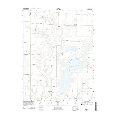
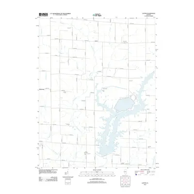 2012 Latona2012 Print · USGSCovers Clay County, including Latona, Effingham County, and other nearby areas
 - 2012 Map of Clay City, 2012 Print
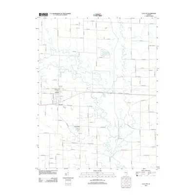 2012 Clay City2012 Print · USGSCovers Clay County, including Clay City, Clay City Township, and other nearby areas
 - 2012 Map of Louisville West, 2012 Print
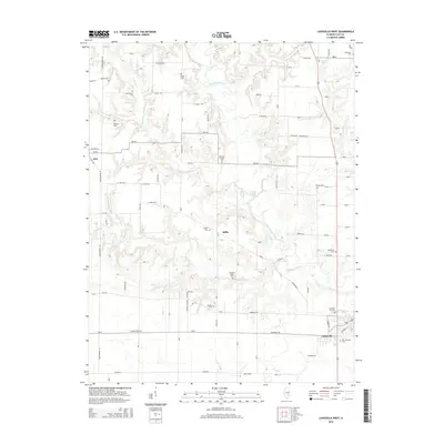
 2012 Louisville West2012 Print · USGSCovers Clay County, including Louisville, Iola, and other nearby areas
 - 2012 Map of Flora, 2012 Print
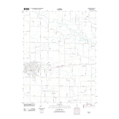 2012 Flora2012 Print · USGSCovers Clay County, including Flora, Harter Township, and other nearby areas
 - 2015 Map of Edgewood, 2015 Print
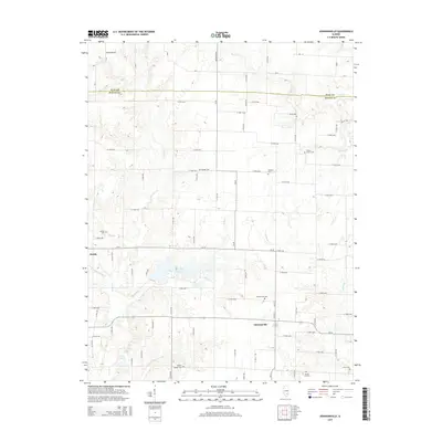
 2015 Edgewood2015 Print · USGSCovers Clay County, including La Clede, Edgewood, and other nearby areas
 - 2015 Map of Johnsonville, 2015 Print
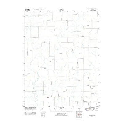
 2015 Johnsonville2015 Print · USGSCovers Clay County, including Johnsonville, Harter Township, and other nearby areas
 - 2015 Map of Oskaloosa, 2015 Print
 2015 Oskaloosa2015 Print · USGSCovers Clay County, including Oskaloosa, Iola, and other nearby areas
 - 2015 Map of Louisville East, 2015 Print
 2015 Louisville East2015 Print · USGSCovers Clay County, including Louisville, Bible Grove, and other nearby areas
 - 2015 Map of Mount Erie, 2015 Print
 2015 Mount Erie2015 Print · USGSCovers Clay County, including Mount Erie, Clay City Township, and other nearby areas
 - 2015 Map of Louisville West, 2015 Print
 2015 Louisville West2015 Print · USGSCovers Clay County, including Louisville, Iola, and other nearby areas
 - 2015 Map of Latona, 2015 Print
 2015 Latona2015 Print · USGSCovers Clay County, including Latona, Effingham County, and other nearby areas
 - 2015 Map of Clay City, 2015 Print
 2015 Clay City2015 Print · USGSCovers Clay County, including Clay City, Clay City Township, and other nearby areas
Showing maps 1-25 of 85
Top cities of Clay County
- Flora historical maps
- Bible Grove historical maps
- Oskaloosa historical maps
- Sailor Springs historical maps
- Iola historical maps
Frequently asked questions
- What are the different types of historical maps available for Clay County?
- What is the oldest map of Clay County?
- Where can I purchase historical maps of Clay County for my home or office?
- Where can I download high-res historical maps of Clay County?
- Are there historical topographic maps available for Clay County?
- Is there historical aerial imagery available for Clay County?
- Where are historical maps of Clay County sourced from?