1960s Maps of Chicago, Illinois
Explore 14 historic maps of Chicago from the 1960s. These maps offer a rare glimpse into what life looked like during the 1960s — showing old roads, neighborhoods, homes, and landmarks that have changed or disappeared over time.
Whether you're researching your family's past, planning a metal detecting trip, or studying how Chicago's landscape evolved across the 1960s, these high-resolution maps are a powerful tool for exploring the history of this region.
- Focus on a specific era: All maps on this page are from the 1960s, giving you a focused view of this time period.
- See what’s changed: Compare century-old streets, trails, and buildings to today's modern landscape using overlays and satellite layers.
- Research with precision: Use these maps for genealogy, historical research, land use analysis, or educational projects.
- View, download, or print: Maps are fully viewable online in high resolution, and can be downloaded or printed for your own records.
Start exploring Chicago's history through authentic maps from the 1960s. This is your window into the past.
Chicago, IL maps
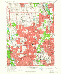
(14)- 1960 Map of Lake Calumet, 1962 Print
 1960 Lake Calumet1962 Print · USGSCovers Chicago, including Hammond, Calumet City, and other nearby areas
 - 1962 Map of Racine
 1962 Racine1962 Print · USGSCovers Chicago, including Milwaukee, Kenosha, and other nearby areas
 - 1962 Map of Arlington Heights, 1973 Print
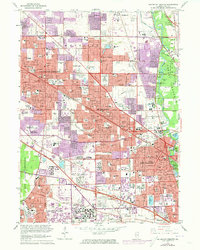 1962 Arlington Heights1973 Print · USGSCovers Chicago, including Arlington Heights, Des Plaines, and other nearby areas
 - 1963 Map of Arlington Heights, 1964 Print
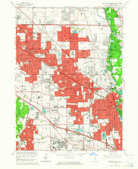 1963 Arlington Heights1964 Print · USGSCovers Chicago, including Arlington Heights, Des Plaines, and other nearby areas2 unique versions available
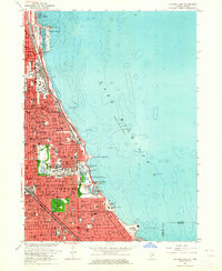
 - 1963 Map of Evanston, 1964 Print
 1963 Evanston1964 Print · USGSCovers Chicago, including Evanston, Skokie, and other nearby areas5 unique versions available
 - 1963 Map of Elmhurst, 1964 Print
 1963 Elmhurst1964 Print · USGSCovers Chicago, including Des Plaines, Elmhurst, and other nearby areas3 unique versions available
 - 1963 Map of Park Ridge, 1964 Print
 1963 Park Ridge1964 Print · USGSCovers Chicago, including Skokie, Des Plaines, and other nearby areas3 unique versions available
 - 1963 Map of Jackson Park, 1964 Print
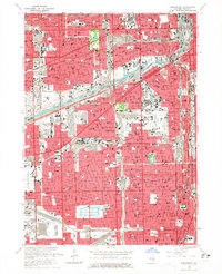
 1963 Jackson Park1964 Print · USGSCovers Chicago, including Hyde Park Township, Lake Township, and other nearby areas3 unique versions available
 - 1963 Map of Chicago Loop, 1964 Print
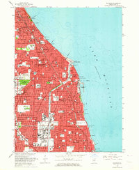
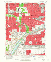
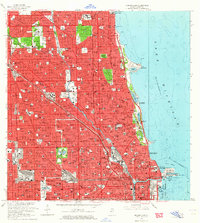 1963 Chicago Loop1964 Print · USGSCovers Chicago, including Lincolnwood, Lake View Township, and other nearby areas3 unique versions available
 - 1963 Map of River Forest, 1964 Print
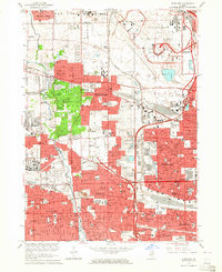
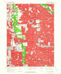 1963 River Forest1964 Print · USGSCovers Chicago, including Des Plaines, Oak Park, and other nearby areas4 unique versions available
 - 1963 Map of Berwyn, 1965 Print
 1963 Berwyn1965 Print · USGSCovers Chicago, including Cicero, Berwyn, and other nearby areas3 unique versions available
 - 1963 Map of Blue Island, 1965 Print
 1963 Blue Island1965 Print · USGSCovers Chicago, including Oak Lawn, Burbank, and other nearby areas3 unique versions available
 - 1963 Map of Englewood, 1965 Print
 1963 Englewood1965 Print · USGSCovers Chicago, including Cicero, Burbank, and other nearby areas4 unique versions available
 - 1965 Map of Lake Calumet, 1966 Print
 1965 Lake Calumet1966 Print · USGSCovers Chicago, including Hammond, Calumet City, and other nearby areas4 unique versions available
End of results
Showing maps 1-14 of 14
Top cities near Chicago
- Cicero historical maps
- Hammond historical maps
- Arlington Heights historical maps
- Evanston historical maps
- Skokie historical maps
- Des Plaines historical maps
See more
Top neighborhoods of Chicago
- West Chicago Township historical maps
- Jefferson Township historical maps
- Lake View Township historical maps
- Rogers Park Township historical maps
- Lake Township historical maps
- Hyde Park Township historical maps
See more
Frequently asked questions
- What are the different types of historical maps available for Chicago?
- What is the oldest map of Chicago?
- Where can I purchase historical maps of Chicago for my home or office?
- Where can I download high-res historical maps of Chicago?
- Are there historical topographic maps available for Chicago?
- Is there historical aerial imagery available for Chicago?
- Where are historical maps of Chicago sourced from?