1960s Maps of Chicago, Illinois
Explore 14 historic maps of Chicago from the 1960s. These maps offer a rare glimpse into what life looked like during the 1960s — showing old roads, neighborhoods, homes, and landmarks that have changed or disappeared over time.
Whether you're researching your family's past, planning a metal detecting trip, or studying how Chicago's landscape evolved across the 1960s, these high-resolution maps are a powerful tool for exploring the history of this region.
- Focus on a specific era: All maps on this page are from the 1960s, giving you a focused view of this time period.
- See what’s changed: Compare century-old streets, trails, and buildings to today's modern landscape using overlays and satellite layers.
- Research with precision: Use these maps for genealogy, historical research, land use analysis, or educational projects.
- View, download, or print: Maps are fully viewable online in high resolution, and can be downloaded or printed for your own records.
Start exploring Chicago's history through authentic maps from the 1960s. This is your window into the past.
Chicago, IL maps
(14)- 1960 Map of Lake Calumet, 1962 Print
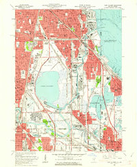 1960 Lake Calumet1962 Print · USGSThe industrial south side of Chicago and the Indiana borderlands meet in this early 1960s survey. Genealogists and historians can trace neighborhood evolution through parish schools like Our Lady of Hungary Sch, early housing at Altgeld Gardens, and the heavy rail lines of the Pennsylvania RR.
 - 1962 Map of Racine
 1962 Racine1962 Print · USGSThe Lake Michigan shoreline in the early sixties reveals a fascinating contrast between the dense industrial rail hubs of RACINE and CHICAGO and the forested dunes of Michigan. Local historians can trace military installations like Fort Sheridan or explore the numerous inland retreats around Paw Paw Lake and Sister Lakes.
 - 1962 Map of Arlington Heights, 1973 Print
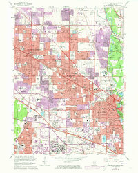 1962 Arlington Heights1973 Print · USGSNorthwest Cook County undergoes significant suburban transformation in the early seventies as new developments connect established towns. Genealogists and local historians can trace the growth of Arlington Heights and Des Plaines while locating landmarks like All Saints Cemetery or the Pal-Waukee Airport.
 - 1963 Map of Arlington Heights, 1964 Print
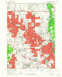 1963 Arlington Heights1964 Print · USGSThe Northwest Suburbs are captured here during a mid-century period of intense suburban growth. Genealogists and local historians can trace family plots at ALL SAINTS CEMETERY or locate old neighborhood landmarks like Randhurst Shopping Center and St Patrick Academy.2 unique versions available
 - 1963 Map of Evanston, 1964 Print
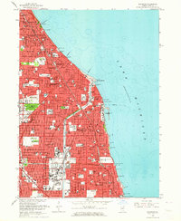 1963 Evanston1964 Print · USGSThe North Shore suburbs of Chicago thrive during the early sixties, showcasing a landscape of established lakeside communities and prestigious universities. Genealogists and local historians can trace family locations near Calvary Cemetery or the historic Indian Boundary Treaty Line.5 unique versions available
 - 1963 Map of Elmhurst, 1964 Print
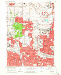 1963 Elmhurst1964 Print · USGSMid-century suburban expansion across Cook and DuPage Counties is frozen in time just as the jet age transformed the region. Genealogists and historians can trace family plots at Mt Emblem Cemetery and old landmarks like Churchville or the Mater Dolorosa Seminary.3 unique versions available
 - 1963 Map of Park Ridge, 1964 Print
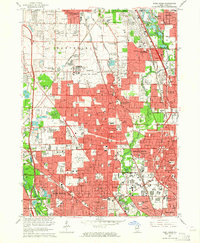 1963 Park Ridge1964 Print · USGSThe northern Chicago suburbs are caught in a period of rapid post-war maturity, showing the transition from village life to a modern metropolitan landscape. Genealogists can locate family sites among numerous plots like Ridgewood Cemetery or trace institutional roots at the Naval Air Station and St Marys Mission House.3 unique versions available
 - 1963 Map of Jackson Park, 1964 Print
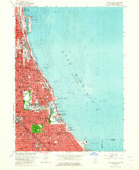 1963 Jackson Park1964 Print · USGSThe Chicago lakefront in the early sixties showcases a dense urban landscape defined by major cultural landmarks and rail corridors. Researchers can trace the mid-century South Side grid near the University of Chicago, Oak Woods Cemetery, and the historic Meigs Field.3 unique versions available
 - 1963 Map of Chicago Loop, 1964 Print
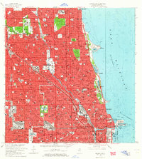 1963 Chicago Loop1964 Print · USGSChicago's north side neighborhoods and the Loop are captured in the early sixties as the modern expressway system reshaped the urban grid. Researchers can trace historic parish boundaries through sites like St Hyacinth Sch or locate long-standing landmarks like Riverview Park and Rosehill Cemetery.3 unique versions available
 - 1963 Map of River Forest, 1964 Print
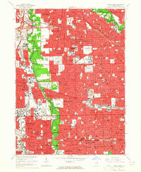 1963 River Forest1964 Print · USGSMid-century suburban expansion meets the Des Plaines riverfront in this 1960s view of western Cook County. Researchers can trace family history through numerous landmarks like St Joseph Cemetery, Maywood Park Racetrack, and the Chicago State Hospital.4 unique versions available
 - 1963 Map of Berwyn, 1965 Print
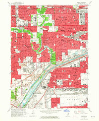 1963 Berwyn1965 Print · USGSThe western Chicago suburbs are seen here in the mid-sixties as post-war industrial and residential growth peaks. Local historians can trace family roots through the dense cemetery district or locate long-standing landmarks like Morton Jr College and the Chicago Zoological Park.3 unique versions available
 - 1963 Map of Blue Island, 1965 Print
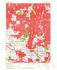 1963 Blue Island1965 Print · USGSSouth of Chicago in the early sixties, these burgeoning suburbs grew around a massive network of rail lines and industrial canals. Researchers can trace the footprints of numerous parochial schools, family burial plots in Mt Olivet Cemetery, and landmarks like the Evergreen Plaza Shopping Center.3 unique versions available
 - 1963 Map of Englewood, 1965 Print
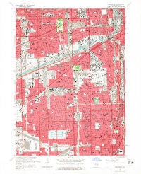 1963 Englewood1965 Print · USGSThe South Side of Chicago and Cicero are seen here in the mid-sixties, a period defined by the rise of the great expressways and dense rail corridors. Genealogists and local historians can trace parish life and neighborhoods through sites like St Rita High Sch, Elsdon, and the International Amphitheatre.4 unique versions available
 - 1965 Map of Lake Calumet, 1966 Print
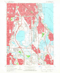 1965 Lake Calumet1966 Print · USGSSoutheast Chicago and the Indiana borderlands were a powerhouse of rail and industry in the mid-sixties. Researchers can trace historic parish life and neighborhood growth through sites like Altgeld Gardens, Hegewisch, and the Chicago Vocational Sch.4 unique versions available
End of results
Showing maps 1-14 of 14
Top cities near Chicago
- Cicero historical maps
- Hammond historical maps
- Arlington Heights historical maps
- Evanston historical maps
- Skokie historical maps
- Des Plaines historical maps
See more
Top neighborhoods of Chicago
- West Chicago Township historical maps
- Lake View Township historical maps
- Rogers Park Township historical maps
- Jefferson Township historical maps
- Lake Township historical maps
- Hyde Park Township historical maps
See more
Frequently asked questions
- What are the different types of historical maps available for Chicago?
- What is the oldest map of Chicago?
- Where can I purchase historical maps of Chicago for my home or office?
- Where can I download high-res historical maps of Chicago?
- Are there historical topographic maps available for Chicago?
- Is there historical aerial imagery available for Chicago?
- Where are historical maps of Chicago sourced from?