2020s Maps of Chicago, Illinois
Explore 24 historic maps of Chicago from the 2020s. These maps offer a rare glimpse into what life looked like during the 2020s — showing old roads, neighborhoods, homes, and landmarks that have changed or disappeared over time.
Whether you're researching your family's past, planning a metal detecting trip, or studying how Chicago's landscape evolved across the 2020s, these high-resolution maps are a powerful tool for exploring the history of this region.
- Focus on a specific era: All maps on this page are from the 2020s, giving you a focused view of this time period.
- See what’s changed: Compare century-old streets, trails, and buildings to today's modern landscape using overlays and satellite layers.
- Research with precision: Use these maps for genealogy, historical research, land use analysis, or educational projects.
- View, download, or print: Maps are fully viewable online in high resolution, and can be downloaded or printed for your own records.
Start exploring Chicago's history through authentic maps from the 2020s. This is your window into the past.
Chicago, IL maps
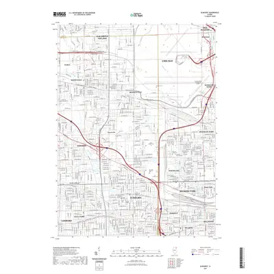
(24)- 2021 Map of Arlington Heights, 2021 Print
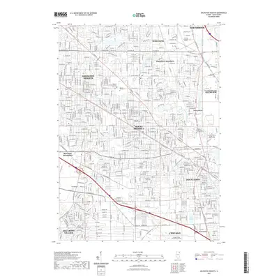 2021 Arlington Heights2021 Print · USGSCovers Chicago, including Arlington Heights, Des Plaines, and other nearby areas
 - 2021 Map of Evanston, 2021 Print
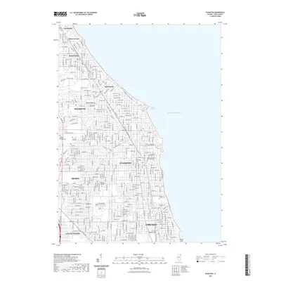 2021 Evanston2021 Print · USGSCovers Chicago, including Evanston, Skokie, and other nearby areas
 - 2021 Map of Park Ridge, 2021 Print
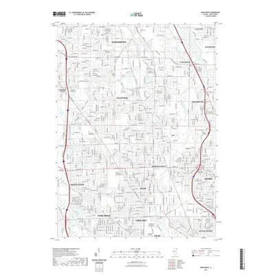 2021 Park Ridge2021 Print · USGSCovers Chicago, including Skokie, Des Plaines, and other nearby areas
 - 2021 Map of Blue Island, 2021 Print
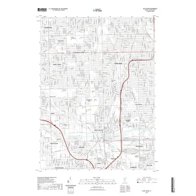 2021 Blue Island2021 Print · USGSCovers Chicago, including Oak Lawn, Burbank, and other nearby areas
 - 2021 Map of Chicago Loop OE E, 2021 Print
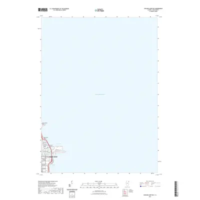 2021 Chicago Loop OE E2021 Print · USGSCovers Chicago, including Cook County, United States, and other nearby areas
 - 2021 Map of Englewood, 2021 Print
 2021 Englewood2021 Print · USGSCovers Chicago, including Cicero, Burbank, and other nearby areas
 - 2021 Map of Lake Calumet, 2021 Print
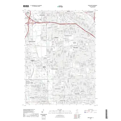
 2021 Lake Calumet2021 Print · USGSCovers Chicago, including Hammond, Calumet City, and other nearby areas
 - 2021 Map of River Forest, 2021 Print
 2021 River Forest2021 Print · USGSCovers Chicago, including Des Plaines, Oak Park, and other nearby areas
 - 2021 Map of Jackson Park, 2021 Print
 2021 Jackson Park2021 Print · USGSCovers Chicago, including Lake Township, Hyde Park Township, and other nearby areas
 - 2021 Map of Chicago Loop, 2021 Print
 2021 Chicago Loop2021 Print · USGSCovers Chicago, including Lincolnwood, Jefferson Township, and other nearby areas
 - 2021 Map of Elmhurst, 2021 Print
 2021 Elmhurst2021 Print · USGSCovers Chicago, including Des Plaines, Elmhurst, and other nearby areas
 - 2021 Map of Berwyn, 2021 Print
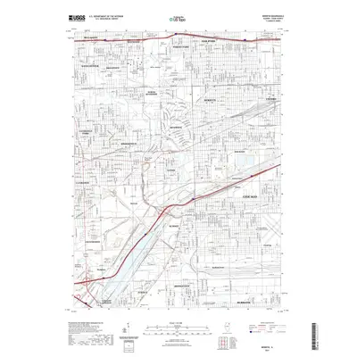 2021 Berwyn2021 Print · USGSCovers Chicago, including Cicero, Berwyn, and other nearby areas
 - 2024 Map of Chicago Loop OE E, 2024 Print
 2024 Chicago Loop OE E2024 Print · USGSChicago's waterfront and the near-north street grid are detailed in this modern survey of the lakefront. Researchers can trace the layout of the Northwestern University Chicago Campus and landmarks like Ogden Slip and Oak Street Beach.
 - 2024 Map of Evanston, 2024 Print
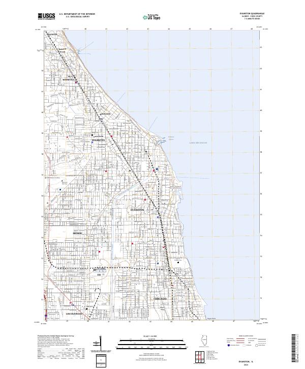 2024 Evanston2024 Print · USGSThe Cook County lakefront thrives in the twenty-first century as a corridor of historic suburbs and academic centers. Genealogists and historians can trace local landmarks from Hubbard Woods down to Calvary Catholic Cem and the Northwestern University campus.
 - 2024 Map of Arlington Heights, 2024 Print
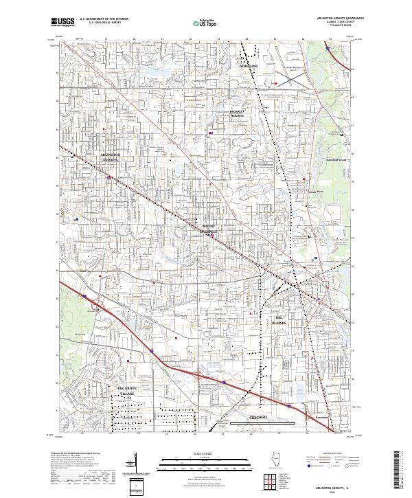 2024 Arlington Heights2024 Print · USGSArlington Heights and the surrounding Cook County suburbs are shown in high detail at the height of their modern expansion. Researchers can trace local burial records and property lines near Memory Gardens Cem, Saint Marys Cem, and the Metra rail corridor.
 - 2024 Map of Berwyn, 2024 Print
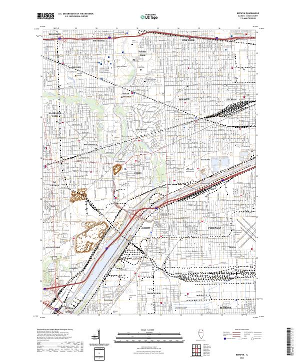 2024 Berwyn2024 Print · USGSThe Des Plaines River valley in the modern era is captured here, showing the dense suburban development of western Cook County. Researchers can trace family history through numerous memorial sites like Waldheim Cem and Resurrection Cem, or locate landmarks such as Morton College.
 - 2024 Map of Lake Calumet, 2024 Print
 2024 Lake Calumet2024 Print · USGSThe industrial heart of the Illinois-Indiana borderlands is revealed in this modern survey of the Calumet region. Researchers can trace the layout of historic labor sites like Pullman National Monument and neighborhoods like Hegewisch and Altgeld Gardens.
 - 2024 Map of Elmhurst, 2024 Print
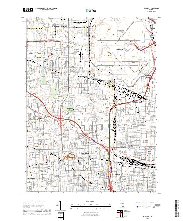 2024 Elmhurst2024 Print · USGSThe western suburbs of Chicago are shown in detail during their modern era of density and connectivity. Researchers can trace local history through numerous sites like Elmhurst College, the historic Churchville Cem, and Mount Emblem Cem.
 - 2024 Map of Blue Island, 2024 Print
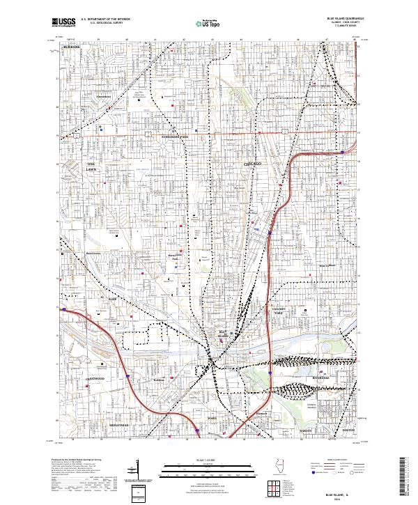 2024 Blue Island2024 Print · USGSSouthern Cook County suburbs and the Chicago border are captured in this modern survey. Genealogists can trace family records across Saint Casimir Catholic Cemetery or Mount Greenwood Cemetery, while collectors can map the path of the B & O CT RR and the Calumet Sag Channel.
 - 2024 Map of Jackson Park, 2024 Print
 2024 Jackson Park2024 Print · USGSChicago's southern lakefront and academic heart are captured here in the early twenty-first century, showcasing the city's dense urban and recreational geography. Genealogists and historians can trace the grounds of Oak Woods Cem and Confederate Mound or locate landmarks like the University of Chicago and Northerly Island.
 - 2024 Map of Chicago Loop, 2024 Print
 2024 Chicago Loop2024 Print · USGSChicago's North Side and the famous Loop are seen in this contemporary topographical survey, where the lakefront beaches meet the city's industrial river heart. Researchers can pinpoint historic burial grounds like Rosehill Cem and academic hubs like DePaul University.
 - 2024 Map of Park Ridge, 2024 Print
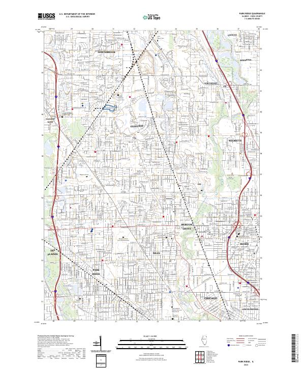 2024 Park Ridge2024 Print · USGSCook County's northern suburbs are shown in high detail during this era of modern development and community expansion. Genealogists and local historians can trace family locations near major landmarks like Maryhill Catholic Cem and Mausoleum, the Cook County Skokie Courthouse, and Saint John Evangelical Lutheran Cem.
 - 2024 Map of River Forest, 2024 Print
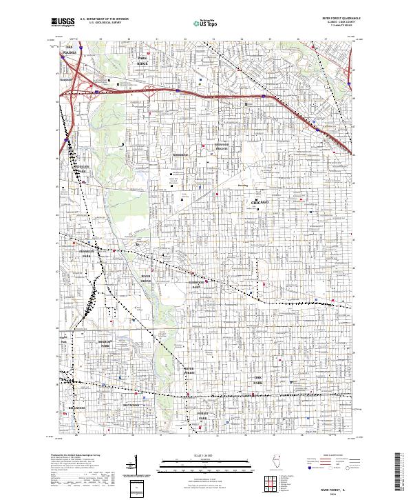 2024 River Forest2024 Print · USGSThe Des Plaines River valley in the early 2020s is a landscape of established Cook County suburbs and significant institutional grounds. Genealogists and historians can trace family plots across Westlawn Cem and Mausoleum or locate landmarks like Dominican University and Triton College.
 - 2024 Map of Englewood, 2024 Print
 2024 Englewood2024 Print · USGSChicago's southwest side and neighboring suburbs are shown here in the 2020s, highlighting the dense rail and industrial history of the area. Genealogists and urban historians can trace neighborhoods like Englewood and Elsdon or the grounds of Chicago Midway International Airport.
End of results
Showing maps 1-24 of 24
Top cities near Chicago
- Cicero historical maps
- Hammond historical maps
- Arlington Heights historical maps
- Evanston historical maps
- Skokie historical maps
- Des Plaines historical maps
See more
Top neighborhoods of Chicago
- West Chicago Township historical maps
- Lake View Township historical maps
- Rogers Park Township historical maps
- Jefferson Township historical maps
- Lake Township historical maps
- Hyde Park Township historical maps
See more
Frequently asked questions
- What are the different types of historical maps available for Chicago?
- What is the oldest map of Chicago?
- Where can I purchase historical maps of Chicago for my home or office?
- Where can I download high-res historical maps of Chicago?
- Are there historical topographic maps available for Chicago?
- Is there historical aerial imagery available for Chicago?
- Where are historical maps of Chicago sourced from?