Old Maps of Auburn Gresham, Chicago for Academic Research
Study the evolution of Auburn Gresham with 31 high-resolution historic maps. Whether you're teaching, researching, or modeling changes in land use, these maps provide essential visual documentation of urban, environmental, and geographic change.
- Analyze long-term change: Track patterns in development, transportation, and natural features.
- Ideal for environmental or urban studies: Support academic projects with primary historical map data.
- Use in the classroom or lab: Educators and researchers rely on these maps to bring historical context to life.
These maps are a powerful tool for teaching, research, and visualizing how Auburn Gresham has changed over the decades.
Auburn Gresham, Chicago maps
(31)- 1889 Map of Chicago
 1889 Chicago1889 Print · USGSChicago in the late Victorian era was a sprawling rail and maritime titan on the shores of Lake Michigan. Genealogists and historians can trace the early urban grid and massive rail yards of the Belt Railroad and Chicago and Northwestern R.R.
 - 1891 Map of Chicago
 1891 Chicago1891 Print · USGSChicago was a booming rail and water hub in the late nineteenth century, just before the turn of the century. Trace the intricate network of the Illinois and Michigan Canal and major lines like the Wisconsin Central R.R. and Belt Railroad.
 - 1892 Map of Calumet
 1892 Calumet1892 Print · USGSThe industrial corridor south of Chicago is captured in the late nineteenth century as rail lines and rivers shaped new towns. Genealogists can trace family roots through early settlements like Pullman, Blue Island, and the South Lawn Harvey P.O. at a time of rapid growth.
 - 1893 Map of Calumet
 1893 Calumet1893 Print · USGSSouthern Cook County and the Indiana borderlands are captured here during a period of massive rail and industrial growth. Trace the footprints of historic company towns and transit hubs like Pullman, Blue Island, and Hammond before the landscape was fully urbanized.
 - 1900 Map of Chicago
 1900 Chicago1900 Print · USGSChicago at the turn of the century shows a city of massive infrastructure, from its emerging park system to its complex rail hubs. Researchers can trace the development of early neighborhoods like Mayfair and South Lynn or locate grounds like Rose Hill Cemetery and the historic Illinois and Michigan Canal.
 - 1900 Map of Calumet
 1900 Calumet1900 Print · USGSSouthern Cook County and the Indiana borderlands are captured here at the peak of the rail era, showing a landscape of burgeoning industrial towns and complex rail junctions. Researchers can trace the layout of the historic company town of Pullman, the growth of Hammond, and the early footprints of Blue Island and Harvey.
 - 1901 Map of Calumet
 1901 Calumet1901 Print · USGSSouthern Chicago and the Calumet region are captured at the peak of their industrial expansion at the turn of the century. Genealogists and historians can trace the growth of rail-side towns like Pullman, Blue Island, and Hegewisch and locate landmarks like the Glenwood Industrial School.5 unique versions available
 - 1901 Map of Chicago
 1901 Chicago1901 Print · USGSChicago was a booming industrial and rail hub in the late nineteenth century, defined by its lakefront and canal systems. Genealogists and urban historians can trace early neighborhood boundaries and rail corridors through Elsdon, Chicago Lawn, and Rose Hill Cemetery.5 unique versions available
 - 1929 Map of Blue Island
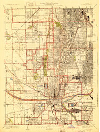 1929 Blue Island1929 Print · USGSSouth Chicago and its suburbs are captured in the late twenties during a period of rapid industrial and rail expansion. Genealogists can trace family plots across Mt Hope and Oak Hill, or locate local landmarks like Bremen School and Blue Island.3 unique versions available
 - 1929 Map of Englewood
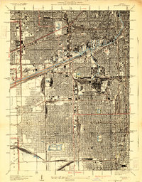 1929 Englewood1929 Print · USGSThe South Side of Chicago in the mid-twenties shows a landscape transformed by heavy industry and rail transport. Genealogy and local history researchers can trace the dense grid around the Union Stock Yards, Englewood, and the sprawling Corwith Yards.3 unique versions available
 - 1953 Map of Blue Island, 1956 Print
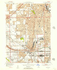 1953 Blue Island1956 Print · USGSBlue Island and the southern Chicago suburbs are shown here in a period of significant postwar growth and heavy rail industrialization. Genealogists and local historians can trace the vast cemetery lands of Mt Greenwood Cemetery or find defunct landmarks like Howell Airport and the Rock Island RR lines.
 - 1953 Map of Englewood, 1956 Print
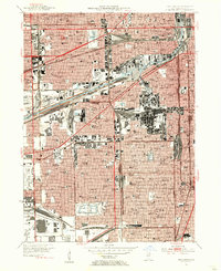 1953 Englewood1956 Print · USGSMid-century Southwest Chicago reveals a landscape defined by heavy industry and deep-rooted neighborhoods during the post-war era. Researchers can trace the massive rail infrastructure of the Indiana Harbor Belt and find local landmarks like Marquette Park and the US Quartermaster Depot.
 - 1953 Map of Chicago, 1964 Print
 1953 Chicago1964 Print · USGSThe southern Lake Michigan shoreline was rapidly modernizing in the mid-fifties, balancing heavy industry with its famous academic centers. Researchers can trace the footprints of Notre Dame University or locate vanished sites like the Kingsbury Ordnance Plant and Meigs Field.5 unique versions available
 - 1957 Map of Chicago
 1957 Chicago1957 Print · USGSThe industrial heartland and southern Great Lakes shoreline are captured here during the peak of mid-century growth. Researchers can trace the massive Gary Steel Works, the grounds of the University of Notre Dame, and the early paths of the Tri-State Tollway.
 - 1963 Map of Blue Island, 1965 Print
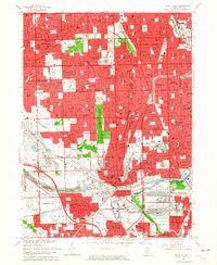 1963 Blue Island1965 Print · USGSSouth of Chicago in the early sixties, these burgeoning suburbs grew around a massive network of rail lines and industrial canals. Researchers can trace the footprints of numerous parochial schools, family burial plots in Mt Olivet Cemetery, and landmarks like the Evergreen Plaza Shopping Center.3 unique versions available
 - 1963 Map of Englewood, 1965 Print
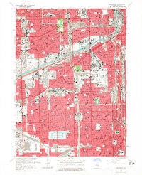 1963 Englewood1965 Print · USGSThe South Side of Chicago and Cicero are seen here in the mid-sixties, a period defined by the rise of the great expressways and dense rail corridors. Genealogists and local historians can trace parish life and neighborhoods through sites like St Rita High Sch, Elsdon, and the International Amphitheatre.4 unique versions available
 - 1980 Map of Chicago
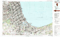 1980 Chicago1980 Print · USGSThe Chicago metropolitan area and the industrial shores of Northwest Indiana are captured here at the start of the 1980s. Genealogists and local historians can trace the vast urban landscape through landmarks like Loyola University, St Casimir Cemetery, and the busy docks of Calumet Harbor.
 - 1993 Map of Englewood
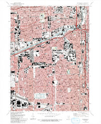 1993 Englewood1993 Print · USGSChicago's southwestern neighborhoods are captured here in the early nineties, showing a landscape defined by heavy rail and industrial canals. Researchers can trace local history through the many neighborhood institutions like the International Amphitheatre, Maria High Sch, and the rail hub at Elsdon.2 unique versions available
 - 1993 Map of Blue Island
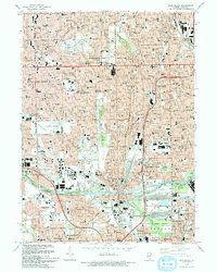 1993 Blue Island1993 Print · USGSThe south side of Chicago and its neighboring suburbs are shown in the early nineties as a mature urban landscape. Researchers can trace family sites near St Casimir Cemetery and Burr Oak Cemetery or locate historic institutions like Morgan Park Academy.2 unique versions available
 - 1997 Map of Englewood, 1999 Print
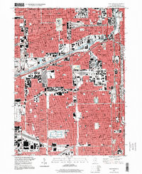 1997 Englewood1999 Print · USGSChicago during the late 1990s reveals a complex network of industrial canals and historic neighborhood centers. Genealogists and urban historians can trace community roots through numerous parish schools like St Gall Sch and landmarks such as the Cook County Dept of Corrections.
 - 1997 Map of Blue Island, 1999 Print
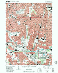 1997 Blue Island1999 Print · USGSThe southern Chicago suburbs and Blue Island are captured here in the late nineties, showing a landscape of dense residential grids and massive cemeteries. Researchers can trace historic boundaries like the Old Indian Boundary or locate institutions like St Xavier College and Burr Oak Cemetery.
 - 2012 Map of Blue Island, 2012 Print
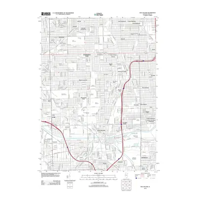 2012 Blue Island2012 Print · USGSSouth Chicago and its neighbors appear in high detail during the early 2010s, showing the dense residential grid of Evergreen Park and Blue Island. Genealogists will find a massive concentration of burial sites including Mount Hope Cem and Oak Hill Cem alongside landmarks like Saint Xavier University.
 - 2012 Map of Englewood, 2012 Print
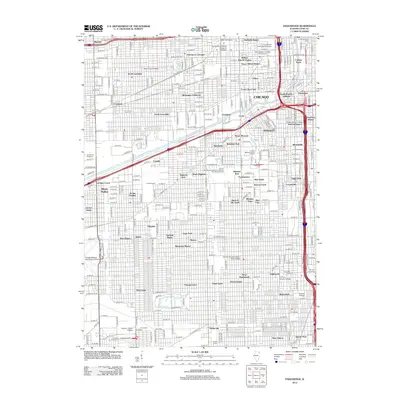 2012 Englewood2012 Print · USGSChicago's South Side and West Side neighborhoods are captured in detail during the early twenty-first century, showing a landscape defined by heavy rail and deep-rooted community names. Genealogists and urban historians can locate long-standing enclaves like Bohemian California, Bronzeville, and Conleys Patch.
 - 2015 Map of Blue Island, 2015 Print
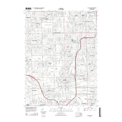 2015 Blue Island2015 Print · USGSSouth Chicago and its suburbs are shown here in the mid-2010s, defined by a massive complex of cemeteries and industrial waterways. Trace family history at Saint Marys Cem or navigate the path of the Calumet Sag Channel.
 - 2015 Map of Englewood, 2015 Print
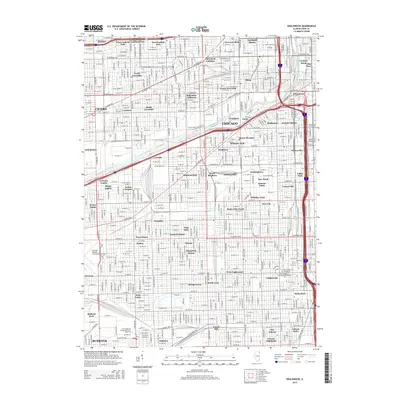 2015 Englewood2015 Print · USGSChicago's South and West Sides are documented here in the mid-2010s, showing the enduring boundaries of historic ethnic and industrial enclaves. Trace local heritage through neighborhood labels like Bohemian California, Conleys Patch, and the historic Pilsen district.
Showing maps 1-25 of 31
Frequently asked questions
- What are the different types of historical maps available for Auburn Gresham?
- What is the oldest map of Auburn Gresham?
- Where can I purchase historical maps of Auburn Gresham for my home or office?
- Where can I download high-res historical maps of Auburn Gresham?
- Are there historical topographic maps available for Auburn Gresham?
- Is there historical aerial imagery available for Auburn Gresham?
- Where are historical maps of Auburn Gresham sourced from?