2000s (21st Century) Maps of Elk Grove Township, Illinois
Explore 20 historic maps of Elk Grove Township from the 2000s (21st Century). These maps offer a rare glimpse into what life looked like during the 2000s — showing old roads, neighborhoods, homes, and landmarks that have changed or disappeared over time.
Whether you're researching your family's past, planning a metal detecting trip, or studying how Elk Grove Township's landscape evolved across the 2000s, these high-resolution maps are a powerful tool for exploring the history of this region.
- Focus on a specific era: All maps on this page are from the 2000s, giving you a focused view of this time period.
- See what’s changed: Compare century-old streets, trails, and buildings to today's modern landscape using overlays and satellite layers.
- Research with precision: Use these maps for genealogy, historical research, land use analysis, or educational projects.
- View, download, or print: Maps are fully viewable online in high resolution, and can be downloaded or printed for your own records.
Start exploring Elk Grove Township's history through authentic maps from the 2000s. This is your window into the past.
Elk Grove Township, IL maps
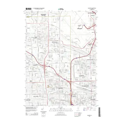
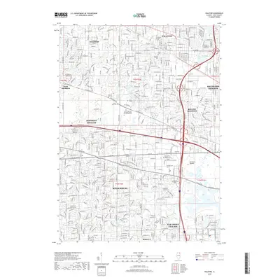
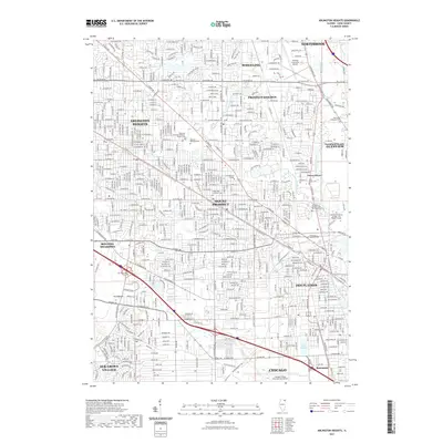
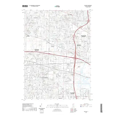
(20)- 2012 Map of Palatine, 2012 Print
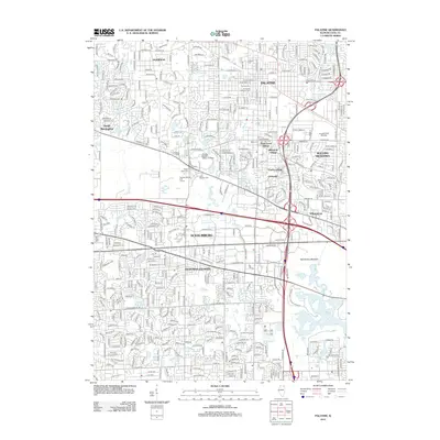 2012 Palatine2012 Print · USGSCovers Elk Grove Township, including Schaumburg, Arlington Heights, and other nearby areas
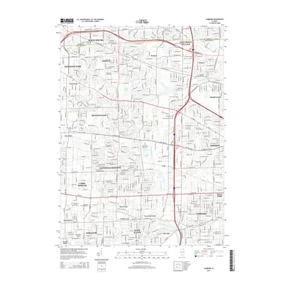
 - 2012 Map of Lombard, 2012 Print
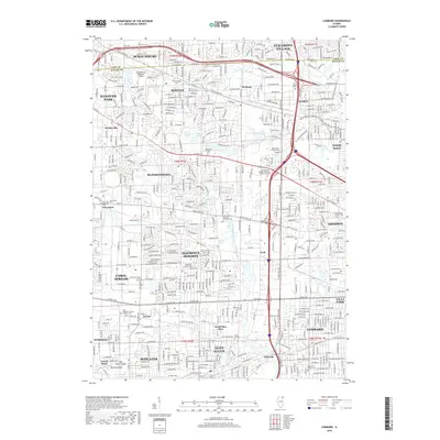
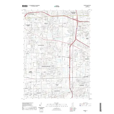
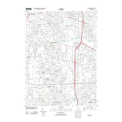 2012 Lombard2012 Print · USGSCovers Elk Grove Township, including Schaumburg, Wheaton, and other nearby areas
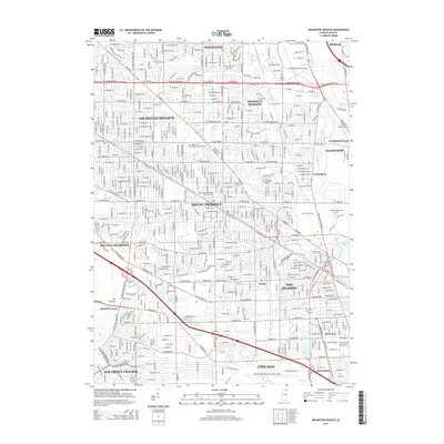
 - 2012 Map of Arlington Heights, 2012 Print
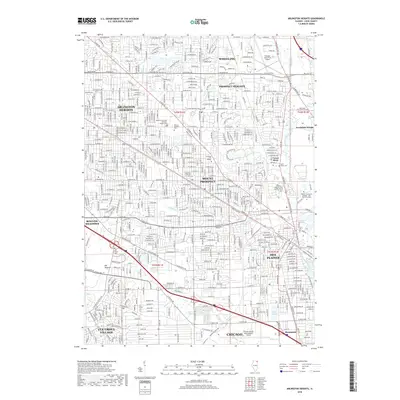
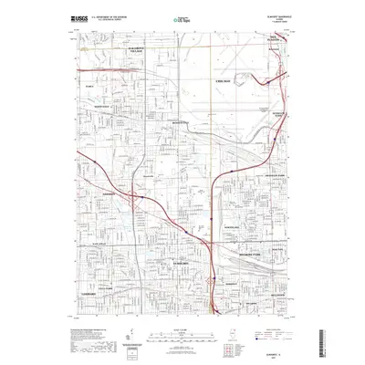
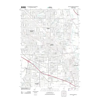 2012 Arlington Heights2012 Print · USGSCovers Elk Grove Township, including Chicago, Arlington Heights, and other nearby areas
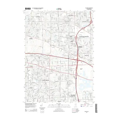
 - 2012 Map of Elmhurst, 2012 Print
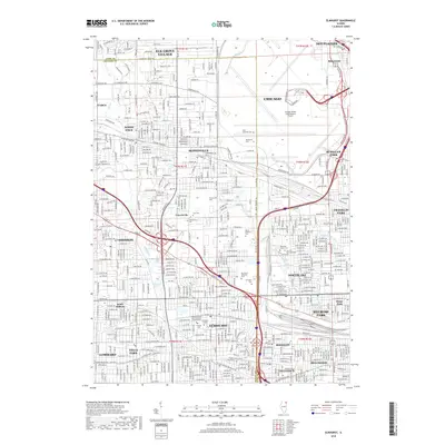
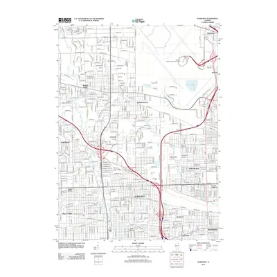 2012 Elmhurst2012 Print · USGSCovers Elk Grove Township, including Chicago, Des Plaines, and other nearby areas
 - 2015 Map of Elmhurst, 2015 Print
 2015 Elmhurst2015 Print · USGSCovers Elk Grove Township, including Chicago, Des Plaines, and other nearby areas
 - 2015 Map of Lombard, 2015 Print
 2015 Lombard2015 Print · USGSCovers Elk Grove Township, including Schaumburg, Wheaton, and other nearby areas
 - 2015 Map of Arlington Heights, 2015 Print
 2015 Arlington Heights2015 Print · USGSCovers Elk Grove Township, including Chicago, Arlington Heights, and other nearby areas
 - 2015 Map of Palatine, 2015 Print
 2015 Palatine2015 Print · USGSCovers Elk Grove Township, including Schaumburg, Arlington Heights, and other nearby areas
 - 2018 Map of Palatine, 2018 Print
 2018 Palatine2018 Print · USGSCovers Elk Grove Township, including Schaumburg, Arlington Heights, and other nearby areas
 - 2018 Map of Elmhurst, 2018 Print
 2018 Elmhurst2018 Print · USGSCovers Elk Grove Township, including Chicago, Des Plaines, and other nearby areas
 - 2018 Map of Arlington Heights, 2018 Print
 2018 Arlington Heights2018 Print · USGSCovers Elk Grove Township, including Chicago, Arlington Heights, and other nearby areas
 - 2018 Map of Lombard, 2018 Print
 2018 Lombard2018 Print · USGSCovers Elk Grove Township, including Schaumburg, Wheaton, and other nearby areas
 - 2021 Map of Arlington Heights, 2021 Print
 2021 Arlington Heights2021 Print · USGSCovers Elk Grove Township, including Chicago, Arlington Heights, and other nearby areas
 - 2021 Map of Palatine, 2021 Print
 2021 Palatine2021 Print · USGSCovers Elk Grove Township, including Schaumburg, Arlington Heights, and other nearby areas
 - 2021 Map of Elmhurst, 2021 Print
 2021 Elmhurst2021 Print · USGSCovers Elk Grove Township, including Chicago, Des Plaines, and other nearby areas
 - 2021 Map of Lombard, 2021 Print
 2021 Lombard2021 Print · USGSCovers Elk Grove Township, including Schaumburg, Wheaton, and other nearby areas
 - 2024 Map of Palatine, 2024 Print
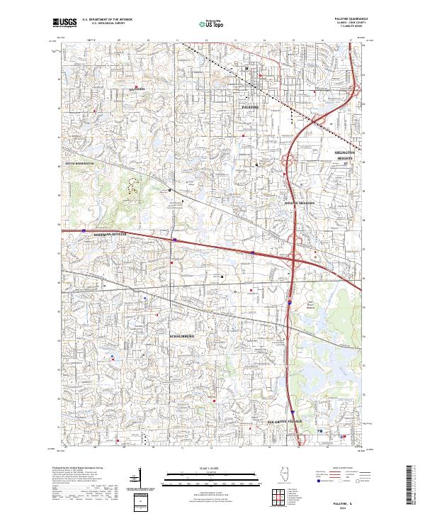 2024 Palatine2024 Print · USGSThe northwest suburbs of Chicago are shown here in detail during a period of significant density and infrastructure maturity. Researchers can trace local landmarks like Harper College and find genealogical sites such as Hillside Cem or Salem Cem.
 - 2024 Map of Lombard, 2024 Print
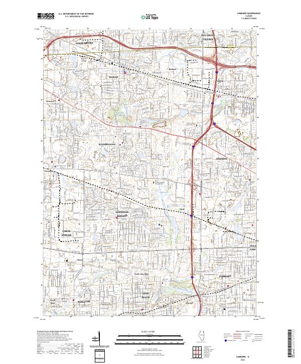 2024 Lombard2024 Print · USGSDuPage County’s suburban heart is captured here in the early twenty-first century, showing the dense growth of Lombard and Wheaton. Genealogists can trace family roots through numerous sites like Trinity Lutheran Cem or the smaller Saint Isidore Cem.
 - 2024 Map of Arlington Heights, 2024 Print
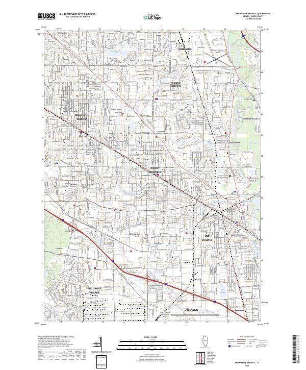 2024 Arlington Heights2024 Print · USGSArlington Heights and the surrounding Cook County suburbs are shown in high detail at the height of their modern expansion. Researchers can trace local burial records and property lines near Memory Gardens Cem, Saint Marys Cem, and the Metra rail corridor.
 - 2024 Map of Elmhurst, 2024 Print
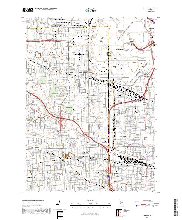 2024 Elmhurst2024 Print · USGSThe western suburbs of Chicago are shown in detail during their modern era of density and connectivity. Researchers can trace local history through numerous sites like Elmhurst College, the historic Churchville Cem, and Mount Emblem Cem.
End of results
Showing maps 1-20 of 20
Top cities near Elk Grove Township
- Chicago historical maps
- Naperville historical maps
- Cicero historical maps
- Schaumburg historical maps
- Arlington Heights historical maps
- Palatine historical maps
See more
Top neighborhoods of Elk Grove Township
Frequently asked questions
- What are the different types of historical maps available for Elk Grove Township?
- What is the oldest map of Elk Grove Township?
- Where can I purchase historical maps of Elk Grove Township for my home or office?
- Where can I download high-res historical maps of Elk Grove Township?
- Are there historical topographic maps available for Elk Grove Township?
- Is there historical aerial imagery available for Elk Grove Township?
- Where are historical maps of Elk Grove Township sourced from?