Old Maps of Schaumburg Township, Illinois for Academic Research
Study the evolution of Schaumburg Township with 48 high-resolution historic maps. Whether you're teaching, researching, or modeling changes in land use, these maps provide essential visual documentation of urban, environmental, and geographic change.
- Analyze long-term change: Track patterns in development, transportation, and natural features.
- Ideal for environmental or urban studies: Support academic projects with primary historical map data.
- Use in the classroom or lab: Educators and researchers rely on these maps to bring historical context to life.
These maps are a powerful tool for teaching, research, and visualizing how Schaumburg Township has changed over the decades.
Schaumburg Township, IL maps
(48)- 1908 Map of Wheaton
 1908 Wheaton1908 Print · USGSDuPage County was a hub of steam and electric rail travel in the years following the turn of the century. Genealogists and historians can trace the early footprints of Naperville, Downers Grove, and Wheaton, alongside notable sites like the Wheaton Driving Park.5 unique versions available
 - 1923 Map of Barrington
 1923 Barrington1923 Print · USGSNorthwest of Chicago in the early twenties, these townships were a network of farm-to-market roads and lakefront resorts. Trace the early boundaries of the Cook County Forest Preserve and find long-gone rural landmarks like Speeck Resort or Quentins Corners.4 unique versions available
 - 1935 Map of Barrington, 1958 Print
 1935 Barrington1958 Print · USGSNortheastern Illinois appears here in the decades following the first World War as rural townships began to shift toward a suburban future. Genealogists can trace family roots through numerous district schools and local landmarks like St Johns Church, Lake Zurich, and Fox River Grove.
 - 1948 Map of Wheaton, 1956 Print
 1948 Wheaton1956 Print · USGSDuPage County at the dawn of the post-war boom shows a landscape of growing towns connected by a dense network of steam and electric rails. Researchers can trace the early footprints of Naperville, Wheaton, and Downers Grove alongside smaller stops like Ontarioville and Eola.
 - 1953 Map of West Chicago, 1955 Print
 1953 West Chicago1955 Print · USGSThe rail corridors of DuPage County intersect at West Chicago in the early fifties, showing a landscape of small rural schools and emerging suburbs. Trace family history at the Old Ontarioville Cem or the Oak Glen Sch (Abandoned).
 - 1953 Map of Lombard, 1955 Print
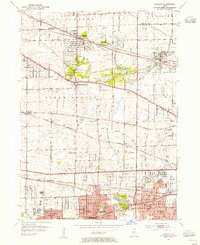 1953 Lombard1955 Print · USGSDuPage County was undergoing rapid postwar growth when this mid-century survey was conducted, showing the expansion of towns along major rail lines. Researchers can find numerous parochial schools and cemeteries like Sacred Heart Sch, St Pauls Cem, and the historic Old Mill.
 - 1953 Map of Palatine, 1955 Print
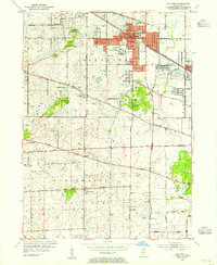 1953 Palatine1955 Print · USGSMid-century Cook County comes to life in the early 1950s as the rail corridor drives development between Palatine and Arlington Heights. Genealogists and local historians can trace early school sites like Sunderlage Sch and rural landmarks such as Mount Hope Cem and the Radio Station (WGN).
 - 1954 Map of Rockford
 1954 Rockford1954 Print · USGSThe Rock River valley and the Illinois-Wisconsin borderlands are captured here in the mid-1950s during a period of robust industrial and agricultural activity. Genealogists and historians can trace rail-era corridors like the Illinois Central RR and locate landmarks from Big Foot Prairie to Lake Geneva.
 - 1954 Map of Wheaton, 1960 Print
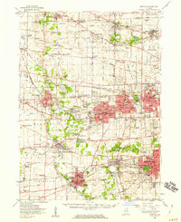 1954 Wheaton1960 Print · USGSDuPage County transitions from its agricultural roots to a bustling suburban corridor during the mid-fifties. Genealogists and historians can trace institutional landmarks like the Zace Sanitarium, Old Ontarioville Cem, and Sacred Heart Academy before later development.2 unique versions available
 - 1955 Map of Rockford
 1955 Rockford1955 Print · USGSThe Rock River valley and southern Wisconsin dairy country are shown here in the mid-fifties as the region's manufacturing centers grew. Genealogists and historians can trace the paths of the Chicago and North Western RR and Illinois Central RR through hubs like Rockford and Beloit.
 - 1958 Map of Aurora, 1969 Print
 1958 Aurora1969 Print · USGSNorthern Illinois in the late fifties shows a landscape of powerful river industry and expanding transport corridors. Genealogists and historians can trace the development of Aurora and Joliet or locate sites like the Elwood Ordnance Plant and Starved Rock.3 unique versions available
 - 1958 Map of Rockford, 1974 Print
 1958 Rockford1974 Print · USGSNorthern Illinois and southern Wisconsin are shown here in the mid-twentieth century as rail-dependent industrial towns began to interface with growing lakefront communities. Genealogists can trace family roots through settlements like Saylesville and Tess Corners or locate historical landmarks like the Rockford Ordnance Depot.4 unique versions available
 - 1961 Map of Aurora
 1961 Aurora1961 Print · USGSNorthern Illinois at the height of the post-war era reveals a landscape of massive industrial works and thriving river towns. Genealogists and historians can trace the paths of the Lincoln Highway or locate long-standing landmarks like the Green River Ordnance Plant and Starved Rock State Park.
 - 1961 Map of Streamwood, 1962 Print
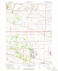 1961 Streamwood1962 Print · USGSThe developing suburbs of the Chicago fringe are seen here in the early sixties as townships like Hanover and Barrington evolve. Researchers can trace the legacy of local institutions like Mission Chapel, New Era Sch, and the Drive-in Theater.5 unique versions available
 - 1961 Map of Palatine, 1962 Print
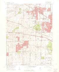 1961 Palatine1962 Print · USGSNorthwestern Cook County undergoes a dramatic post-war transformation as suburban villages like Hoffman Estates and Rolling Meadows expand. Genealogists and local historians can trace family roots through St Michael Cemetery or locate the U S Military Reservation and the iconic Arlington Park Race Track.5 unique versions available
 - 1961 Map of Barrington, 1965 Print
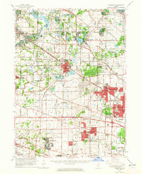 1961 Barrington1965 Print · USGSThe northwest Chicago suburbs were in the midst of a massive post-war building boom in the early sixties. Genealogists and local historians can trace the early footprints of Hoffman Estates and Inverness, or locate landmarks like Arlington Park Racetrack and St Michael Cemetery.
 - 1962 Map of West Chicago, 1963 Print
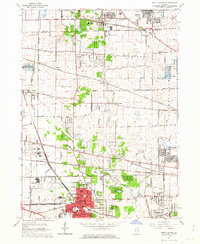 1962 West Chicago1963 Print · USGSMid-century DuPage County is captured here at a peak of rail activity, with five major lines crossing the prairies and developing towns. Genealogists and local historians can trace family plots at Old Ontarioville Cemetery or locate landmarks like Wheaton College Academy and the Munger rail stop.4 unique versions available
 - 1962 Map of Lombard, 1964 Print
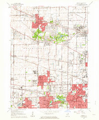 1962 Lombard1964 Print · USGSMid-century DuPage County shows a landscape in transition from rural pockets to thriving suburbs connected by the Chicago Great Western railroad. Trace local roots through landmarks like Glenbard West High Sch, Mitchell Field, and St Pauls Cem.3 unique versions available
 - 1963 Map of Rockford
 1963 Rockford1963 Print · USGSThe mid-century industrial corridor along the Rock River is shown here during a period of rapid post-war growth. Researchers can trace the extensive rail lines of the Chicago and North Western or locate local landmarks like the Rockford Ordnance Depot and Holy Hill.
 - 1981 Map of Elgin
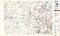 1981 Elgin1981 Print · USGSNorthern Illinois and southern Wisconsin are shown in the early eighties as suburban growth meets glacial terrain. Trace the paths of the Milwaukee Road through Harvard or explore the wetlands of Volo Bog State Natural Area.
 - 1985 Map of Aurora, 1989 Print
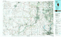 1985 Aurora1989 Print · USGSNortheastern Illinois is captured in the mid-1980s as suburban growth began to bridge the gap between the Fox River cities and the outer prairies. Researchers can trace the development of Naperville and Aurora or locate rural landmarks like Fairview Cem and the Illinois and Michigan Canal.
 - 1993 Map of Lombard
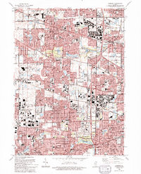 1993 Lombard1993 Print · USGSDuPage County communities like Lombard and Glen Ellyn are shown in the early nineties during a period of intense suburban maturity. Genealogists and local historians can trace parish sites like St Johns Cem and Sacred Heart Ch alongside the protected grounds of Churchill Woods Co For Presv.
 - 1993 Map of West Chicago, 1994 Print
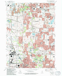 1993 West Chicago1994 Print · USGSWest Chicago and the DuPage County borderlands show a landscape of suburban expansion and forest preservation in the early 1990s. Genealogists and local historians can trace rail-side settlements like Ontarioville, Munger, and Prince Crossing.
 - 1993 Map of Palatine, 1994 Print
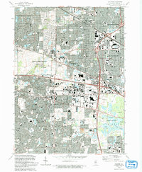 1993 Palatine1994 Print · USGSThe northwest suburbs of Chicago are seen in a period of high suburban density during the early nineties. Genealogists and local historians can locate early cemeteries like Hillside Cem and Salem Cem alongside landmarks like Arlington Park Raceway.
 - 1993 Map of Streamwood, 1994 Print
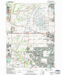 1993 Streamwood1994 Print · USGSSuburban Cook County is captured here in the early nineties during its era of rapid residential growth. Genealogists and local historians can trace the development of Streamwood and Hoffman Estates or find local landmarks like Union Cem and Poplar Creek Theater.
Showing maps 1-25 of 48
Top cities near Schaumburg Township
- Chicago historical maps
- Aurora historical maps
- Naperville historical maps
- Elgin historical maps
- Schaumburg historical maps
- Arlington Heights historical maps
See more
Top neighborhoods of Schaumburg Township
Frequently asked questions
- What are the different types of historical maps available for Schaumburg Township?
- What is the oldest map of Schaumburg Township?
- Where can I purchase historical maps of Schaumburg Township for my home or office?
- Where can I download high-res historical maps of Schaumburg Township?
- Are there historical topographic maps available for Schaumburg Township?
- Is there historical aerial imagery available for Schaumburg Township?
- Where are historical maps of Schaumburg Township sourced from?