Old Maps of Bellair, Illinois for Academic Research
Study the evolution of Bellair with 13 high-resolution historic maps. Whether you're teaching, researching, or modeling changes in land use, these maps provide essential visual documentation of urban, environmental, and geographic change.
- Analyze long-term change: Track patterns in development, transportation, and natural features.
- Ideal for environmental or urban studies: Support academic projects with primary historical map data.
- Use in the classroom or lab: Educators and researchers rely on these maps to bring historical context to life.
These maps are a powerful tool for teaching, research, and visualizing how Bellair has changed over the decades.
Bellair, IL maps
(13)- 1953 Map of Indianapolis, 1965 Print
 1953 Indianapolis1965 Print · USGSCentral Indiana and the Illinois borderlands are captured in the mid-sixties, showing the growth of Indianapolis and its industrial rail corridors. Genealogists and historians can trace the development of outlying towns like Zionsville or Beech Grove and find landmarks such as Atterbury AAF and Turkey Run State Park.4 unique versions available
 - 1956 Map of Indianapolis
 1956 Indianapolis1956 Print · USGSCentral Indiana in the mid-fifties is captured during a period of industrial growth and military presence. Genealogists and historians can trace the rail networks of the New York Central or locate regional landmarks like Fort Benjamin Harrison and Camp Atterbury.
 - 1956 Map of Annapolis, 1957 Print
 1956 Annapolis1957 Print · USGSSoutheast Illinois in the mid-1950s remains a landscape of tightly knit rural hamlets and creek-side farms. Genealogists can trace family footprints across dozens of country landmarks like Moonshine, Porterville (Eaton PO), and Backbone Cem.2 unique versions available
 - 1957 Map of Indianapolis
 1957 Indianapolis1957 Print · USGSCentral Indiana in the mid-fifties is captured here as a crossroads of major rail lines and nascent federal highways. Genealogists and historians can trace family-named ridges like Poplar Ridge or locate strategic sites like Camp Atterbury and Speedway.2 unique versions available
 - 1962 Map of Indianapolis
 1962 Indianapolis1962 Print · USGSCentral Indiana and the Illinois borderlands are captured here in the early sixties, showing the region's dense rail networks and growing urban centers. Genealogists and historians can locate family-named landmarks and institutions like Crown Hill Cem, Indiana University, and the Indianapolis Motor Speedway.
 - 1985 Map of Moriah
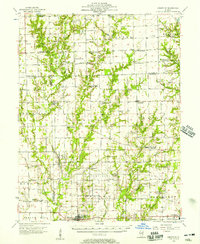
 1985 Moriah1985 Print · USGSEastern Illinois farm country and the triple-county border of Clark, Jasper, and Crawford are captured here in the mid-1980s. Genealogists and local historians can trace small rural communities like Moonshine, Hogue Town, and Bellair along the North Fork Embarras River.
 - 1986 Map of Terre Haute
 1986 Terre Haute1986 Print · USGSThe Wabash River valley and the coal-rich hills of West-Central Indiana and East-Central Illinois are shown here in the mid-eighties. Genealogists and local historians can trace family-named corners like Barrick Corner, find rural churches like New Hope Ch, and locate industrial landmarks such as the Thunderbird Mine.2 unique versions available
 - 1998 Map of Moriah, 2002 Print
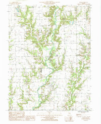
 1998 Moriah2002 Print · USGSSoutheastern Illinois farm and oil country comes to life in this late twentieth-century survey of the Clark and Crawford county line. Genealogists and researchers can trace rural homesteads and local landmarks like Moriah, Moonshine, and the Oil Fields along the North Fork Embarras River.
 - 2012 Map of Moriah, 2012 Print
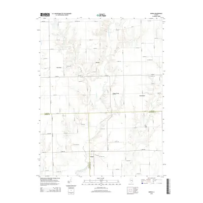
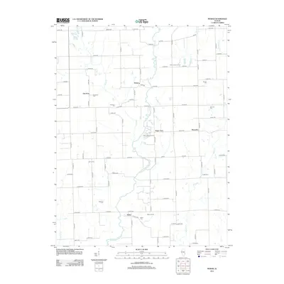 2012 Moriah2012 Print · USGSCovers Bellair, including Hogue Town, Moriah, and other nearby areas
 - 2015 Map of Moriah, 2015 Print
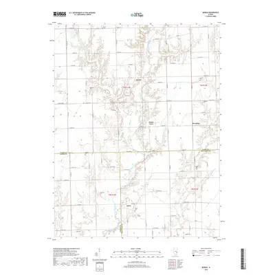
 2015 Moriah2015 Print · USGSCovers Bellair, including Hogue Town, Moriah, and other nearby areas
 - 2018 Map of Moriah, 2018 Print
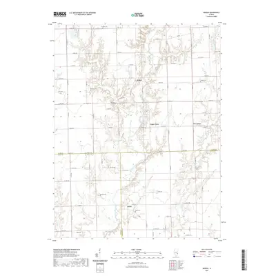
 2018 Moriah2018 Print · USGSCovers Bellair, including Hogue Town, Moriah, and other nearby areas
 - 2021 Map of Moriah, 2021 Print
 2021 Moriah2021 Print · USGSCovers Bellair, including Hogue Town, Moriah, and other nearby areas
 - 2024 Map of Moriah, 2024 Print
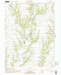
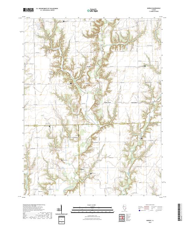 2024 Moriah2024 Print · USGSThe intersection of Clark, Crawford, and Jasper counties is captured here in the early twenty-first century, showing a landscape of quiet prairie settlements. Genealogists and historians can trace numerous rural burial sites like Butternut Cem and Walnut Cem near the banks of the North Fork Embarras River.
End of results
Showing maps 1-13 of 13
Top cities near Bellair
- Robinson historical maps
- Casey historical maps
- Newton historical maps
- Oblong historical maps
- Greenup historical maps
- Martinsville historical maps
See more
Frequently asked questions
- What are the different types of historical maps available for Bellair?
- What is the oldest map of Bellair?
- Where can I purchase historical maps of Bellair for my home or office?
- Where can I download high-res historical maps of Bellair?
- Are there historical topographic maps available for Bellair?
- Is there historical aerial imagery available for Bellair?
- Where are historical maps of Bellair sourced from?