Old Maps of Heathsville, Illinois for Academic Research
Study the evolution of Heathsville with 13 high-resolution historic maps. Whether you're teaching, researching, or modeling changes in land use, these maps provide essential visual documentation of urban, environmental, and geographic change.
- Analyze long-term change: Track patterns in development, transportation, and natural features.
- Ideal for environmental or urban studies: Support academic projects with primary historical map data.
- Use in the classroom or lab: Educators and researchers rely on these maps to bring historical context to life.
These maps are a powerful tool for teaching, research, and visualizing how Heathsville has changed over the decades.
Heathsville, IL maps
(13)- 1917 Map of Birds
 1917 Birds1917 Print · USGSCrawford and Lawrence counties thrive along the Wabash River at the height of the rail era. Genealogists can trace family roots through dozens of local schools like Hazel Dell School and river landings such as Shaws Landing.2 unique versions available
 - 1942 Map of Birds, 1958 Print
 1942 Birds1958 Print · USGSThe Wabash River valley comes to life in this mid-century survey of the Illinois-Indiana borderlands. Genealogists can locate family lands near Oil Grove or trace ancestors through rural landmarks like Buncombe School and Brightlight Ferry.
 - 1956 Map of Vincennes, 1967 Print
 1956 Vincennes1967 Print · USGSSouthern Indiana and the Illinois borderlands are captured here in the mid-fifties, showing the region's dense network of river towns and rail lines. Researchers can trace historic river crossings along the Wabash River or locate landmarks like Wyandotte Cave and Lincoln State Park.4 unique versions available
 - 1957 Map of Vincennes
 1957 Vincennes1957 Print · USGSSouthwest Indiana and the Illinois borderlands come alive in the late 1950s, a period of heavy rail traffic and expanding state forests. Genealogists and historians can trace the riverfronts and rail lines of Vincennes, New Harmony, and the vast Crane Naval Ammunition Depot.
 - 1958 Map of Vincennes
 1958 Vincennes1958 Print · USGSSouthern Indiana and the Illinois borderlands are captured during a mid-century period of heavy rail traffic and military activity. Researchers can trace the sprawling bounds of the Crane Naval Ammunition Depot or locate historic settlements like New Harmony and French Lick.2 unique versions available
 - 1964 Map of Heathsville, 1965 Print
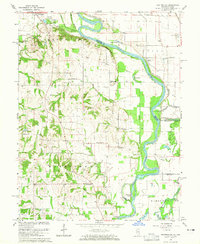 1964 Heathsville1965 Print · USGSThe Illinois-Indiana border along the Wabash River comes into focus in the mid-1960s, showing a landscape defined by river cutoffs and rural settlements. Genealogists can trace family names at Morea Cem, Grace Ch, and the crossroads at Heathsville.3 unique versions available
 - 1986 Map of Vincennes
 1986 Vincennes1986 Print · USGSThe Wabash River valley in the mid-1980s shows a landscape defined by deep-rooted river towns and heavy industry. Researchers can trace the legacy of regional rail lines like the Conrail system or locate landmarks such as Vincennes University and St Francisville Church.2 unique versions available
 - 2010 Map of Heathsville, 2010 Print
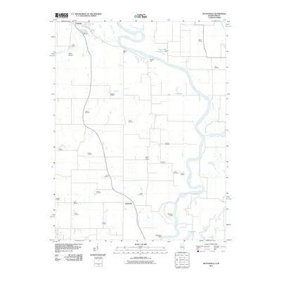 2010 Heathsville2010 Print · USGSAlong the Illinois and Indiana border in the early 21st century, the Wabash River meanders past historic riverfront settlements and ancient landmarks. Genealogists can trace local lineages through nearly twenty burial sites, including East Union Cemetery, while exploring the area's geography from Shaws Landing to the Indian Mound.
 - 2012 Map of Heathsville, 2012 Print
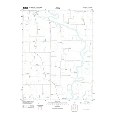 2012 Heathsville2012 Print · USGSThe Illinois-Indiana border along the Wabash River is captured here in the early twenty-first century, showing a landscape defined by oxbows and rural cemeteries. Researchers can locate numerous family burial grounds like Fuller Cem and Maddox Cem or trace the riparian features of Shaws Landing and Horseshoe Cutoff.
 - 2015 Map of Heathsville, 2015 Print
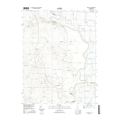 2015 Heathsville2015 Print · USGSThe Illinois-Indiana borderlands along the Wabash River are captured here in the mid-2010s, showing a landscape defined by river cutoffs and rural heritage. Researchers can trace local lineages through more than a dozen burial sites, including Bartmess Cem, East Union Cem, and the ancient Indian Mound.
 - 2018 Map of Heathsville, 2018 Print
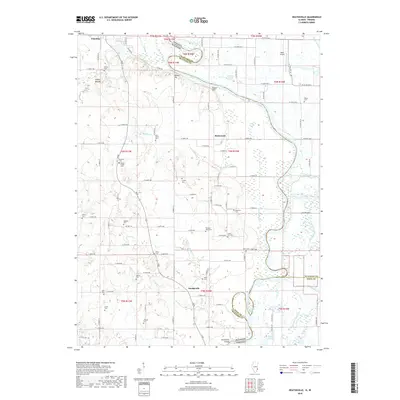 2018 Heathsville2018 Print · USGSCrawford County and the Wabash River valley are shown here in the 2010s, capturing the enduring rural character of this Illinois-Indiana borderland. Genealogists can trace family connections at numerous local sites like Wesley Chapel Cem, Lackey Cem, and Maddox Cem.
 - 2021 Map of Heathsville, 2021 Print
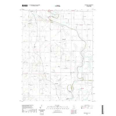 2021 Heathsville2021 Print · USGSThe riverborder between Illinois and Indiana comes alive here in the early twenty-first century, showing the rural communities along the Wabash River. Genealogists can trace family names across over a dozen local sites like Lackey Cem, Milam Cem, and Johnson Cem.
 - 2024 Map of Heathsville, 2024 Print
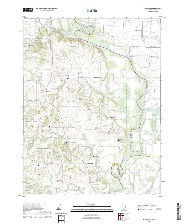 2024 Heathsville2024 Print · USGSThe Illinois-Indiana border along the Wabash River is captured here as it appeared in the 2020s, showing a land defined by ancient mounds and river cutoffs. Local historians can locate numerous family burial sites like Maddox Cem and Bartmess Cem, or trace the path of No Business Creek.
End of results
Showing maps 1-13 of 13
Top cities near Heathsville
- Vincennes historical maps
- Robinson historical maps
- Lawrenceville historical maps
- Sullivan historical maps
- Bridgeport historical maps
- Busseron historical maps
See more
Frequently asked questions
- What are the different types of historical maps available for Heathsville?
- What is the oldest map of Heathsville?
- Where can I purchase historical maps of Heathsville for my home or office?
- Where can I download high-res historical maps of Heathsville?
- Are there historical topographic maps available for Heathsville?
- Is there historical aerial imagery available for Heathsville?
- Where are historical maps of Heathsville sourced from?