Old Maps of Cumberland County, Illinois for Metal Detecting
Plan your next treasure hunt with 80 historic maps of Cumberland County. Find old homesites, ghost towns, trails, and gathering spots that may be lost to time — perfect for identifying promising metal detecting locations.
- Locate forgotten sites: Uncover places like long-lost settlements, abandoned rail lines, or gathering spots.
- Plan better hunts: Use map overlays combined with LiDAR or satellite views to narrow in on historically rich areas.
- Made for detectorists: Thousands of hobbyists use these maps to discover relics, coins, and hidden history.
Use these historic maps to boost your research and find new opportunities beneath the surface of Cumberland County.
Cumberland County, IL maps
(80)- 1933 Map of Toledo, 1958 Print
 1933 Toledo1958 Print · USGSEast-central Illinois during the early thirties is captured here as a landscape of river-valley crossings and small-town rail hubs. Genealogists can trace family roots through numerous rural landmarks like Unity Chapel, Bell Cem, and the historic Lincoln Log Cabin State Park.2 unique versions available
 - 1934 Map of Mattoon, 1967 Print
 1934 Mattoon1967 Print · USGSThe rail hubs and rural townships of East Central Illinois are captured here in the mid-1930s. Genealogists and local historians can trace the foundations of Mattoon and Neoga while locating family landmarks like Old Bethel Ch or the Little Brick Sch.2 unique versions available
 - 1937 Map of Mattoon
 1937 Mattoon1937 Print · USGSThe rail hubs of Mattoon and Neoga are shown in the late 1930s, surrounded by a dense network of country schools and family cemeteries. Trace ancestral roots at Aetna Etna PO, Johnstown, or the many rural schoolhouses like South Loxa Sch.3 unique versions available
 - 1938 Map of Toledo
 1938 Toledo1938 Print · USGSCentral Illinois at the height of the New Deal era reveals a landscape of family farms and river-bottom timber. Genealogists can trace family landmarks like Tippett Cem, Unity Chapel, and numerous schools including Little Brick Sch.
 - 1940 Map of Greenup, 1958 Print
 1940 Greenup1958 Print · USGSCumberland and Jasper Counties are shown in detail as they appeared just before the war, dominated by the winding valley of the Embarrass River. Genealogists can trace dozens of country schools and churches, including Scotch Chapel Sch, Hazel Dell, and Washington Cem.2 unique versions available
 - 1943 Map of Greenup
 1943 Greenup1943 Print · USGSCumberland and Jasper counties are captured here in the early 1940s, highlighting a landscape defined by the Embarrass River and the historic National Road. Researchers can locate dozens of rural schools and family landmarks, from Hunt City to the Washington Cem and Wade Sch.2 unique versions available
 - 1953 Map of Teutopolis, 1955 Print
 1953 Teutopolis1955 Print · USGSMid-century Effingham County and its neighbors are documented here during a period of agricultural stability and rail-line prominence. Genealogists can locate family landmarks including Elliottstown, Lillyville, and rural schools like Plain Tree Sch.2 unique versions available
 - 1958 Map of Decatur, 1971 Print
 1958 Decatur1971 Print · USGSCentral Illinois in the mid-twentieth century shows a landscape defined by industrial rail hubs and the creation of large reservoirs. Researchers can trace historic corridors like the Penn Central or locate landmarks such as Lincoln Log Cabin State Park and Lake Springfield.3 unique versions available
 - 1961 Map of Decatur
 1961 Decatur1961 Print · USGSCentral Illinois in the late fifties was a bustling corridor of rail lines and prairie commerce centered on the state capital. Genealogists and historians can trace the intricate connections between Springfield, Decatur, and dozens of smaller settlements like Nokomis and Arcola.2 unique versions available
 - 1984 Map of Neoga, 1985 Print
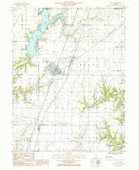 1984 Neoga1985 Print · USGSNeoga and the surrounding township lands are captured here in the mid-1980s as the regional landscape balanced agriculture with new recreation. Researchers can trace the Illinois Central Gulf rail line or locate the Public Boat Dock on Mattoon Lake.
 - 1984 Map of Charleston South, 1985 Print
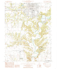 1984 Charleston South1985 Print · USGSColes County at the mid-eighties shows the transition from the university city of Charleston to the timbered bluffs of the Embarras River. Researchers can locate family landmarks at the Lincoln Log Cabin State Historic Site or near the waters of Lake Charleston.
 - 1984 Map of Toledo, 1985 Print
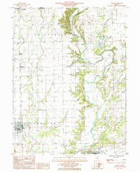 1984 Toledo1985 Print · USGSCumberland County in the early eighties centers on the Embarras River valley as it winds between Toledo and Greenup. Researchers can trace the legacy of regional transport through an Abandoned RR and family-named terrain like Graveyard Hill and Tippett Hollow.
 - 1984 Map of Westfield West, 1985 Print
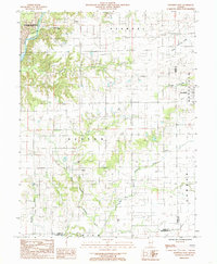 1984 Westfield West1985 Print · USGSThe rural borderlands of Coles and Clark counties come to life in the early 1980s, showing a landscape defined by prairie farmsteads and river bluffs. Researchers can trace family history through numerous CEM sites and the remote reaches of Embarras River and Hurricane Creek.
 - 1984 Map of Johnstown, 1985 Print
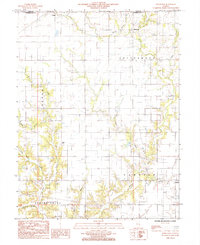 1984 Johnstown1985 Print · USGSCumberland County settlements and prairie creeks are captured here in the mid-1980s. Genealogists and local historians can trace family locations near Johnstown, Trilla, and Neal, or follow the banks of Muddy Creek and Bear Creek.
 - 1984 Map of Union Center, 1985 Print
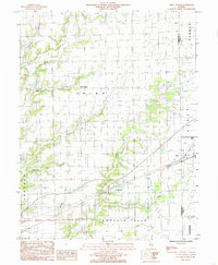 1984 Union Center1985 Print · USGSCumberland County's rural townships are shown in the early 1980s as a landscape of small settlements and emerging industry. Trace local family history and land use near Union Center, Vevay Park, and the active Oil Field.
 - 1985 Map of Greenup
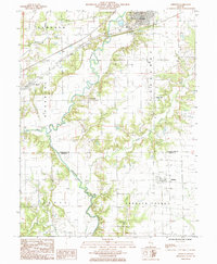 1985 Greenup1985 Print · USGSCumberland County’s river-bottom farms and rail towns are captured here in the mid-1980s as the landscape shifts toward modern infrastructure. Researchers can trace family roots through the grids of Greenup, Jewett, and Hidalgo, or locate historical sites like the Fairground and Liberty Hill.
 - 1985 Map of Woodbury
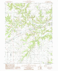 1985 Woodbury1985 Print · USGSCumberland County at the mid-eighties shows a landscape defined by the Illinois Central Gulf railroad and small rural hubs. Local researchers can trace the old town sites of Woodbury and Roslyn or locate secluded cemeteries near the Jasper County line.
 - 1985 Map of Hazel Dell
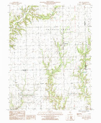 1985 Hazel Dell1985 Print · USGSCumberland County’s rural landscape is captured in the mid-1980s, documenting the small settlements and local industry of east-central Illinois. Genealogists and researchers can trace family lands near Hazel Dell, locate isolated Oil Wells, and follow the banks of Crooked Creek.
 - 1985 Map of Teutopolis
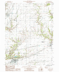 1985 Teutopolis1985 Print · USGSEffingham and Cumberland Counties in the mid-1980s show a transition from traditional rail-side villages to modern highway corridors. Trace the development of Teutopolis and Montrose or find smaller sites like St Michael Ch and the Conrail line.
 - 1986 Map of Effingham
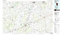 1986 Effingham1986 Print · USGSCentral Illinois during the mid-eighties was a hub of rail travel and water recreation centered on the new reservoirs. Genealogists and historians can trace the rural landscape between Mattoon and Effingham, locating landmarks like St Paul Ch and Eagle Creek State Park.2 unique versions available
 - 1998 Map of Toledo, 2002 Print
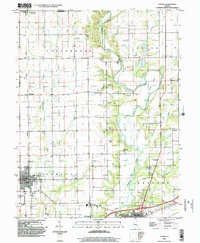 1998 Toledo2002 Print · USGSCumberland County at the close of the century shows a landscape where the Embarras River winds between established towns and quiet rural townships. Genealogists and historians can trace the Old Railroad Grade or locate family sites near Graveyard Hill and Janesville.
 - 1998 Map of Hazel Dell, 2002 Print
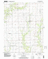 1998 Hazel Dell2002 Print · USGSCumberland and Jasper Counties are shown in the late 1990s as the agricultural landscape evolved with new resource infrastructure. Genealogists can trace family footprints near Hazel Dell, Point Pleasant, and the industrial activity at the southern Well Field.
 - 1998 Map of Greenup, 2002 Print
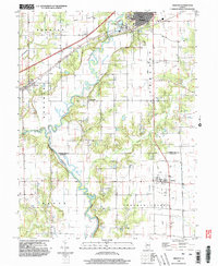 1998 Greenup2002 Print · USGSCumberland and Jasper counties are captured here in the late twentieth century, showing a landscape defined by the winding Embarras River. Researchers can trace the layout of Greenup and Jewett, locate family plots in numerous cemeteries, and identify the path of the Old Grade and rural outposts like Walla Walla.
 - 1998 Map of Woodbury, 2003 Print
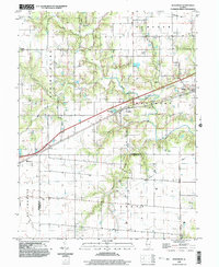 1998 Woodbury2003 Print · USGSThe crossroads of Cumberland and Jasper Counties come alive in the late 1990s as a hub of rail-and-road transport. Researchers can trace rural cemeteries across Sumpter and Woodbury townships or locate old homesteads near Muddy Creek and Jewett.
 - 1998 Map of Westfield West, 2003 Print
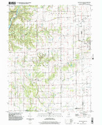 1998 Westfield West2003 Print · USGSThe prairie and timber lands of east-central Illinois are shown here in the late twentieth century as the Embarras River bypasses Charleston. Researchers can trace rural cemetery sites and old industrial markers like the Mill near Westfield or the Gas Fields Creek drainage.
Showing maps 1-25 of 80
Top cities of Cumberland County
- Neoga historical maps
- Greenup historical maps
- Toledo historical maps
- Woodbury historical maps
- Jewett historical maps
Frequently asked questions
- What are the different types of historical maps available for Cumberland County?
- What is the oldest map of Cumberland County?
- Where can I purchase historical maps of Cumberland County for my home or office?
- Where can I download high-res historical maps of Cumberland County?
- Are there historical topographic maps available for Cumberland County?
- Is there historical aerial imagery available for Cumberland County?
- Where are historical maps of Cumberland County sourced from?